


★★★☆☆ Easy / Sedona
Skimming the base of a tall, horseshoe shaped butte, the Mescal Hiking Trail serves up choice Sedona views. Look closely and you might catch a glimpse of ancient Native American life in the pockmarked cliffs.
TRAILHEADs: LONG CANYON ROAD, SEDONA • DIFFICULTY: easy • DISTANCE: 2.5 MILEs (5 miles RT) • APPROX. TIME: 2.5-3 HOURS rt • ELEVATION GAIN: 220 FEET (16 STORIES) • APPROX. CALORIES BURNED: 650-750 RT • BEST TIME OF YEAR: Year round – exposed in summer • PETS: YES • KID FRIENDLY: yes • FACILITIES: none • FEES: $6 Red Rock Day use pass (or annual red rock or national parks pass)
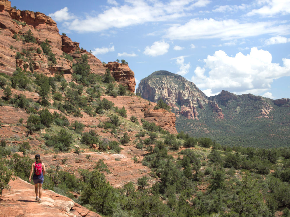
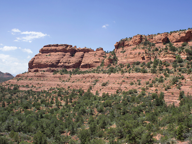
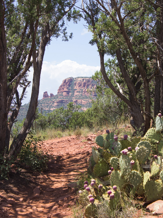 The easy Mescal Hiking Trail offers on-point Sedona scenery with little effort required. The trail kicks off on a classic red rock path flanked by Prickly Pear cactus and Juniper. As the path mildly ascends, the curvilinear silhouette of Mescal Mountain fills the horizon.
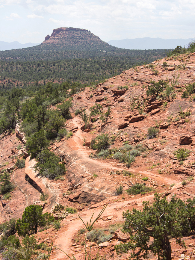 After a mere mile, the trail reaches the base of Mescal butte. Here a mountain biker’s sign points to the “difficult” or “extreme” options. But seriously no worries! Although the trails may be challenging to ride, they are super easy to hike. The difference? The “extreme” option is slightly narrower and a few feet lower on the sandstone slope.
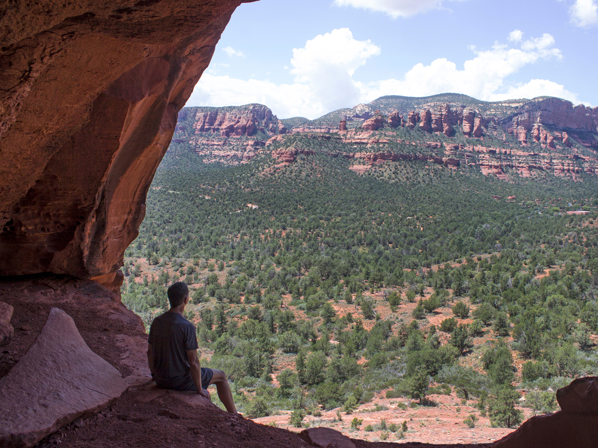 As the trail winds around Mescal Mountain, the views of northern Sedona get increasingly sweet. A large cave, around the far side of the mesa, sits off-trail but within easy reach. Inside cool shade and expansive views of Boynton Canyon make this unmarked detour worthwhile.
 Departing Mescal Mountain, the trail gently meanders down the hillside to its terminus at the juncture of Deadman’s Pass Hiking Trail. Return to the trailhead by turning around here. Or turn right on Deadman’s Pass, then right on Long Canyon Trail to make a 4.7 mile loop . This route goes around the back of Mescal Mountain and is also easy.
Total Nerdery
Mescal Mountain gets its name from the gobs of Agave (or Mescal) that grows around the base. Tequila making anyone?
Resources
Click here to download a trail map.
Directions
Free Sedona Shuttle – From the intersection of 89A and 179, turn left/west on 89A and continue for 1.5 miles to Posse Ground Road. Turn right/north and drive 0.5 miles to the Posse Grounds Park and Ride. Shuttle 11 departs every 50 minutes, Thursday – Sunday, from 7:00 am – 3:30 pm.
Trailhead – (Note: The lot fills quickly, making the Shuttle a good option) From the intersection of I-17 and AZ-179 (I-17 exit 298) head north on AZ-179 towards Sedona. Drive 14.5 miles on AZ-179 to the intersection of AZ-89A. Turn left/west on AZ-89A and drive 3.1 miles to Dry Creek Road. Turn right/north on Dry Creek Road (which turns into Boynton Pass Road and continue approximately 3 miles to Long Canyon Road. At Long Canyon Road turn right/north and drive for under a quarter mile to the trailhead parking lot (shared with the Long Canyon Trail) on the right side of the road. The Mescal Hiking Trail starts across the street from the parking area.
2 Responses to Mescal Hiking Trail
Are their ant jeeps that will take you to Devils Rock from. The parking lot?
I believe you might mean Pink Jeeps and Devils Bridge.If so, the Pink Jeeps do not go to Devils Bridge. You need to walk the mile out to it.