Echo Canyon Hiking Trail, Camelback Mountain
★★★★★ Difficult / Phoenix:
If there is one defining Phoenix hike, this is it! Camelback Mountain’s Echo Canyon Hiking Trail is a local favorite for multiple reasons. The hike is short, but high up there on the challenge scale. It’s located just steps from downtown. Plus it offers spectacular city views framed by rugged canyon walls and Saguaro Cacti. With its extreme popularity you’ll encounter local trail-runners making multiple treks up and down the mountain (with gazelle-like agility), casual hikers and gads of world-wide tourists.
TRAILHEAD: 5700 North Echo Canyon Pkwy., Phoenix • DIFFICULTY: difficult • DISTANCE: 1.2 MILES (2.4 miles rt) • APPROX. TIME: 1.5 – 2.5 HOURS rt • ELEVATION GAIN: 1,264 FEET (90 STORIES) • APPROX. CALORIES BURNED: 410-460 rt • BEST TIME OF YEAR: oct. – april • PETS: no • KID FRIENDLY: Not so much • FACILITIES: YES • FEES: none

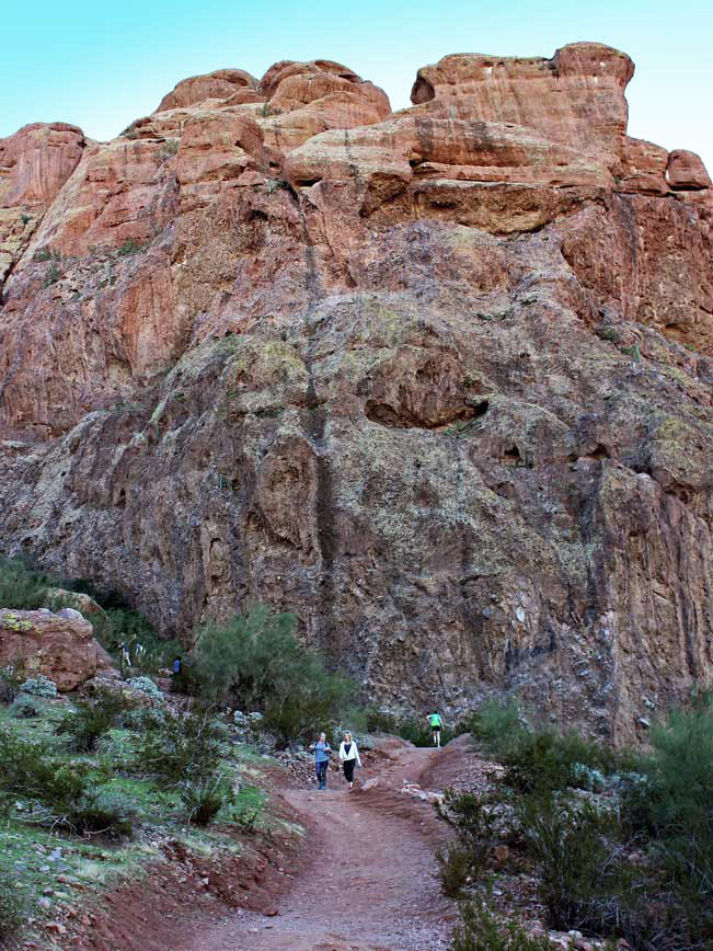 Make no mistake about it. Even with its central urban location, short length and popularity, the Echo Canyon Hiking Trail is not an easy hike. The majority of the trail ascends and descends on piles of massive boulders, at angles steep enough to require handrails for assistance. The trail is fully exposed to the sun. So carrying sufficient water is a must. For those up to the challenge the jaw-droppingly good views at the summit make this hike totally worthwhile!
The hike kicks off from its wonderfully modern trailhead, at the base of Echo Canyon’s massive sandstone cliffs. A length of dirt pathways and wooden steps lead up and around the canyon base and onto Camelback Mountain. Sprawling views of Phoenix, and its surrounding expanses, glimmer between canyon walls.
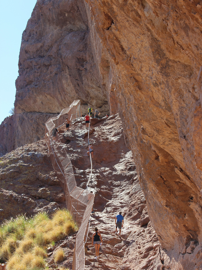
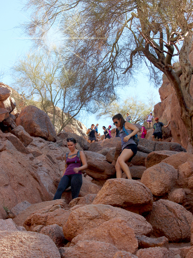 As the Echo Canyon Hiking Trail rounds the canyon base, a steep 50-foot scramble up a broad stone expanse is aided by a metal handrail and grooved footholds. Almost immediately following, another steep scramble up coffee table-sized boulders awaits. A second handrail helps with this climb.
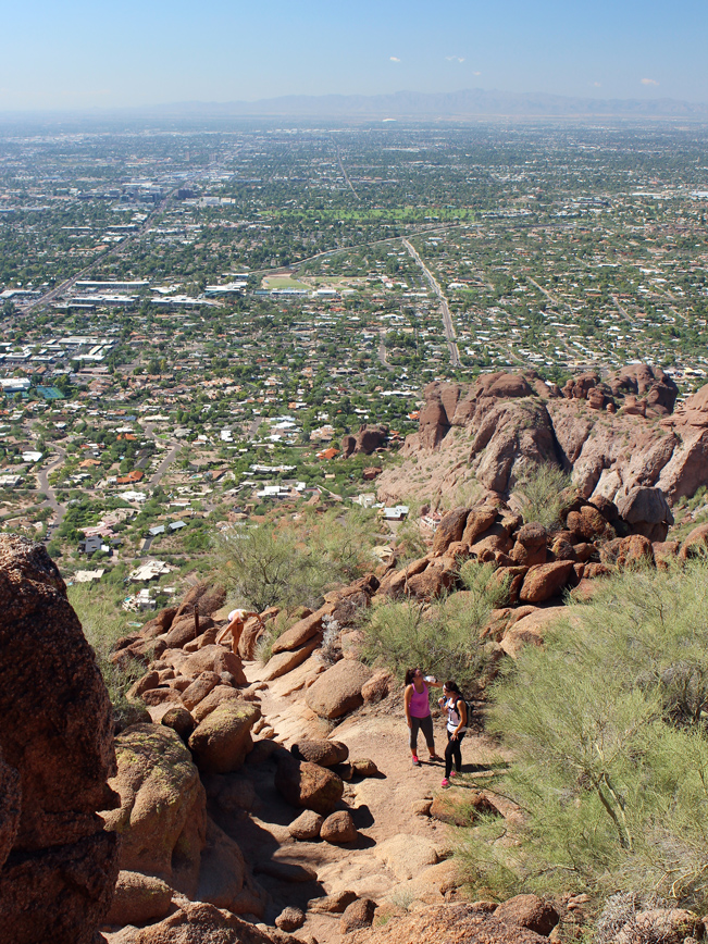
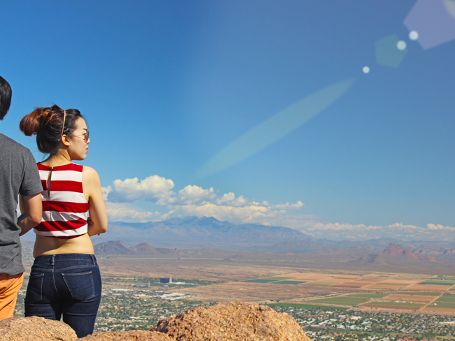 From here on out, the trail continues its ascent over a series of long boulder strewn slopes, interspersed with short flat breathers. With each scramble the mountain top gets a little closer, the views increasingly awesome, and the legs a little more jelly-like. At least mine feel that way. Once at the summit of Camelback Mountain, and the end of the Echo Canyon Hiking Trail, the 360 degree views are truly amazing! Downtown Phoenix’s skyscrapers sparkle to the west, while Paradise Valley’s multi-million-dollar homes (with their labyrinth swimming pools) flicker to the north. Hint: bring some binoculars to catch some drool-worthy, real estate gawking from the top.
Total Nerdery
Camelback Mountain gets its name from its silhouette. Viewed from the north or south, it looks like a gigantic dromedary resting in the desert sun. Major kudos to Senator Barry Goldwater for securing Camelback’s higher elevations as a city park in 1968!
Resources
Click here to download a trail map.
Directions From AZ-51 (in Phoenix) take exit 5/Glendale Avenue and head east (towards Lincoln Drive). Continue 7.2 miles on Glendale Avenue (which becomes Lincoln Drive) to Tatum Boulevard. Turn right/south on Tatum Boulevard and continue .5 miles to East McDonald Drive. Turn left/ east on East McDonald Drive and look for the entry to Echo Canyon Park, on the right. The Echo Canyon Hiking Trail is at the end of the parking lot.
- Canyon, Cliffs, Dayhike, Phoenix, Urban, Views
- October 24, 2015


Leave a Reply