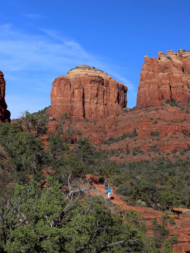
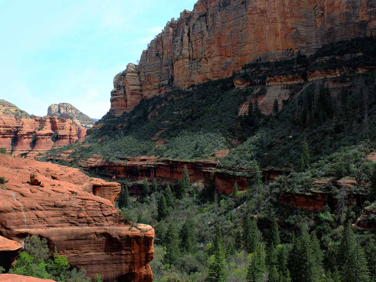
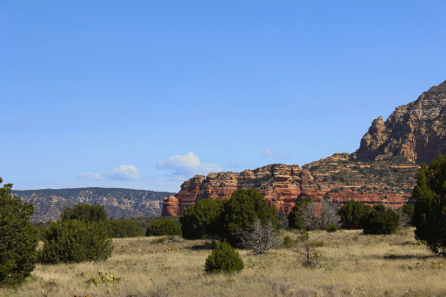
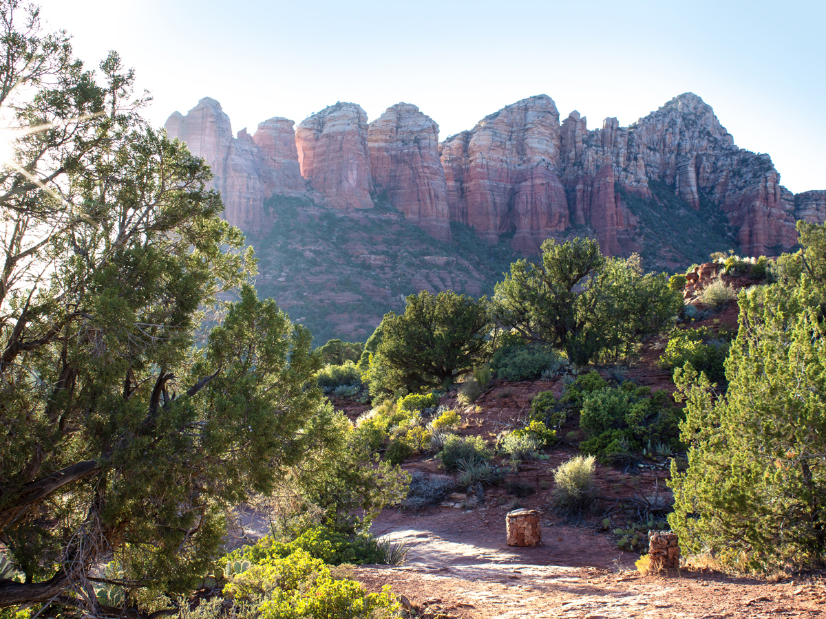
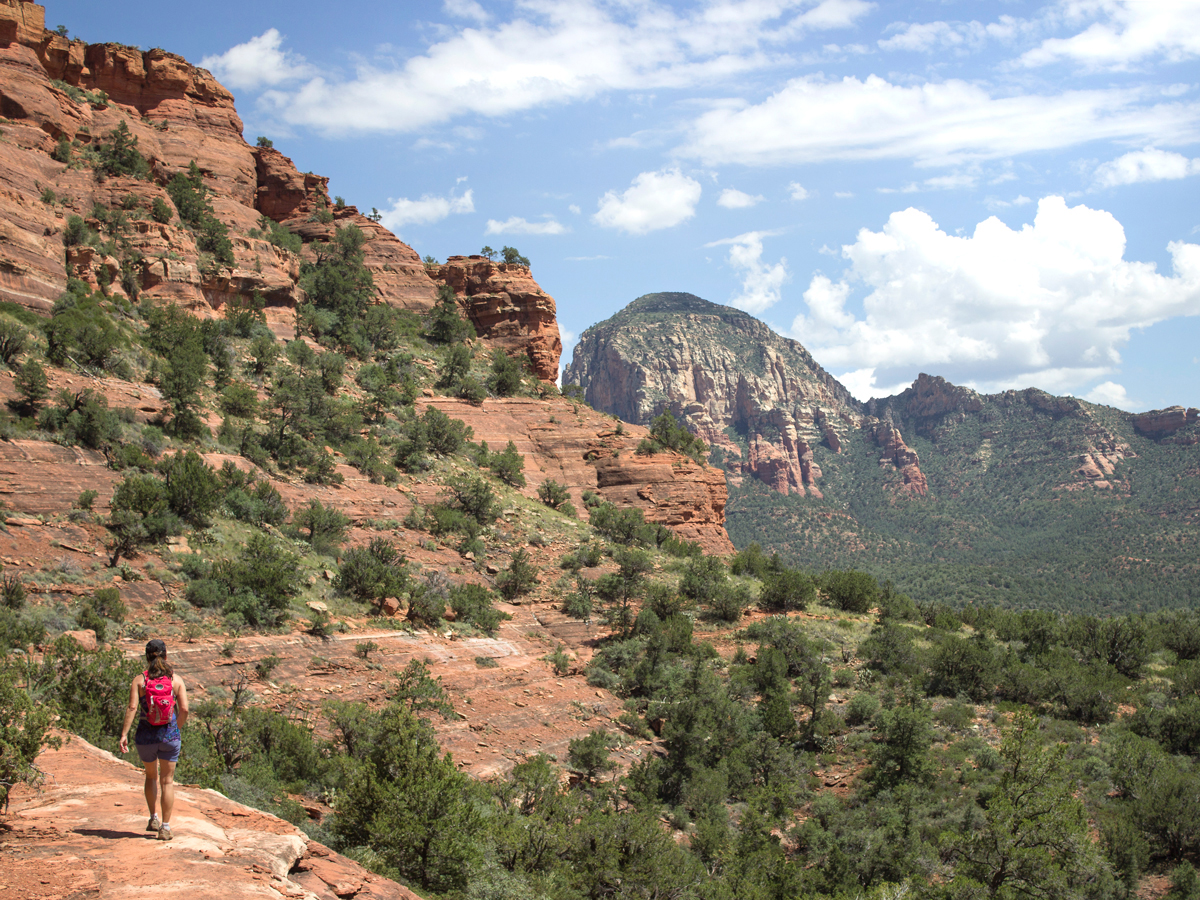
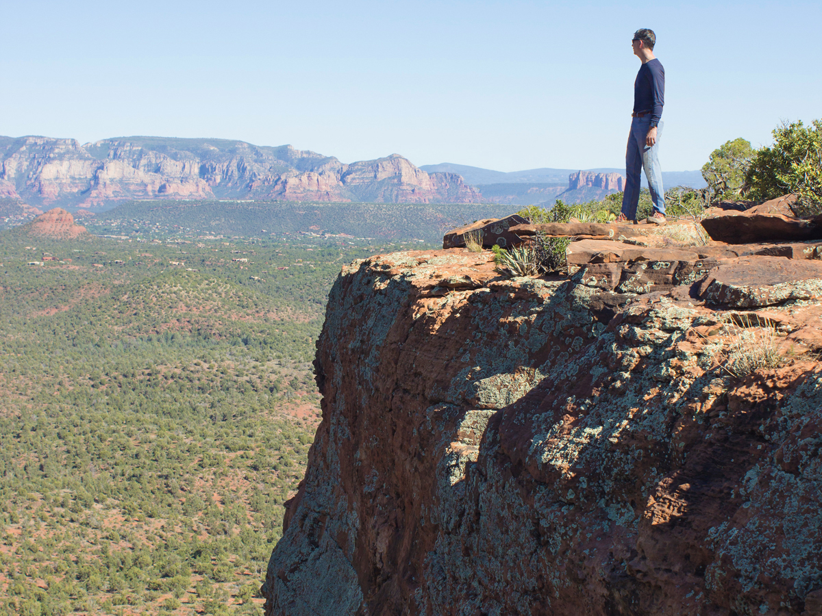
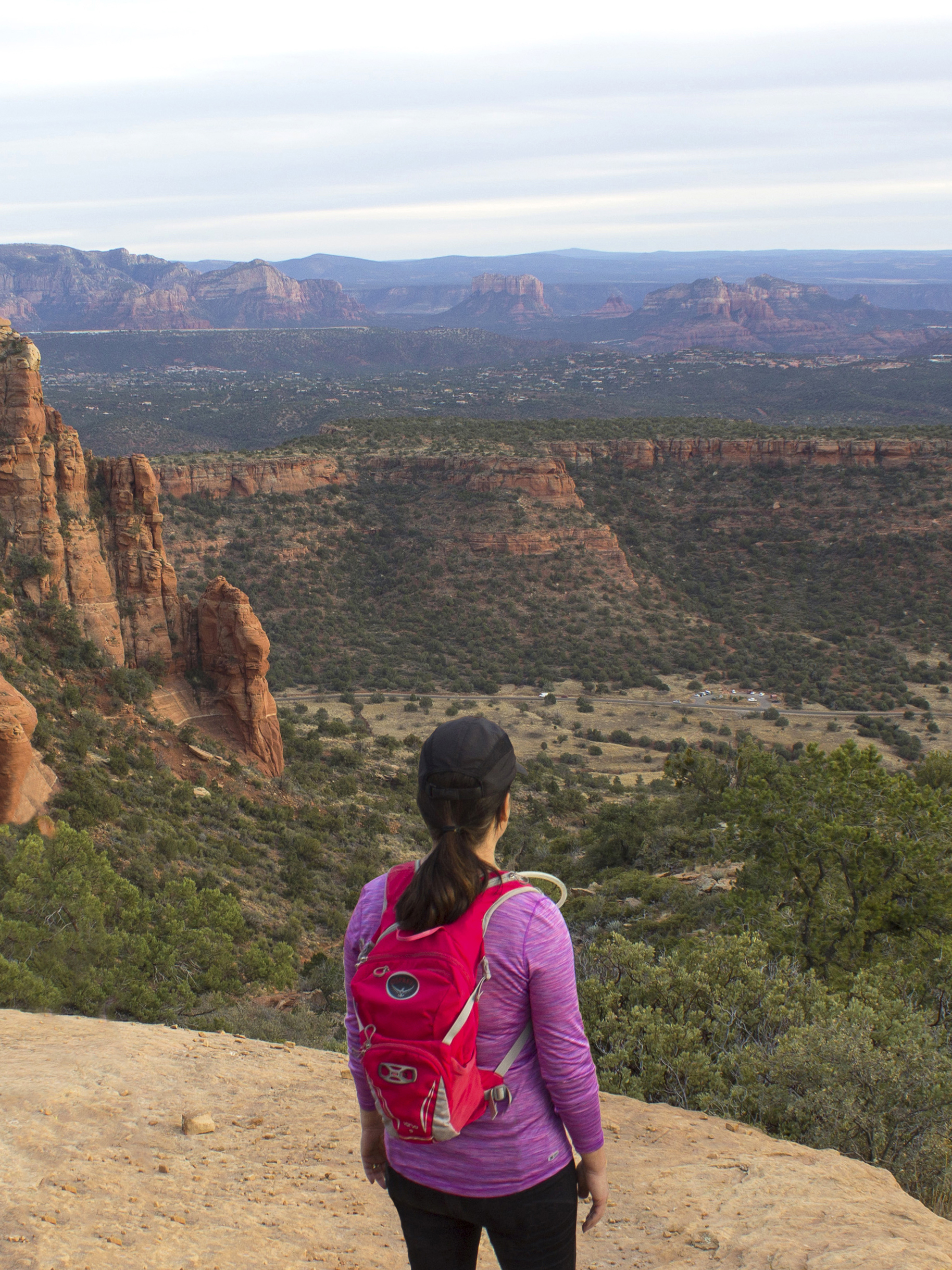
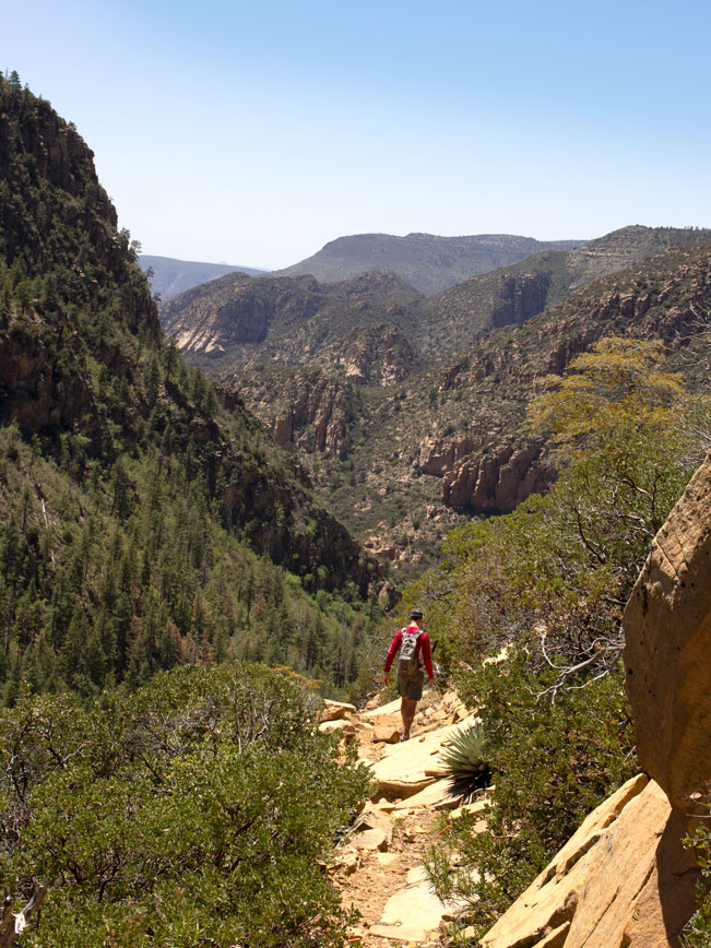
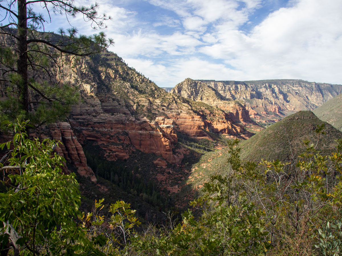
Quintessentially Arizonan, the majestic Red Rocks of the Sedona area offer jaw-droppingly beautiful hikes through tall vermillion canyons, weather carved arches and across soft paths lined with fragrant Manzanita and Juniper. Although open all year, Sedona hikes are best enjoyed during Arizona’s cooler temperatures, September through May. Here are some of the best Sedona hikes.
Scroll down to explore Sedona area hikes by difficulty level. Click hike names for full details.
Easy Sedona Area Hikes
 ★★★☆☆ Baldwin Loop Hiking Trail / 1.6 mile loop
Circling Red Rock Butte, this trail offers phenomenal red-rock and creekside views. From its gently undulating path, upward views of Cathedral Rock impress. While Oak Creek beckons hikers to take a trailside swim.
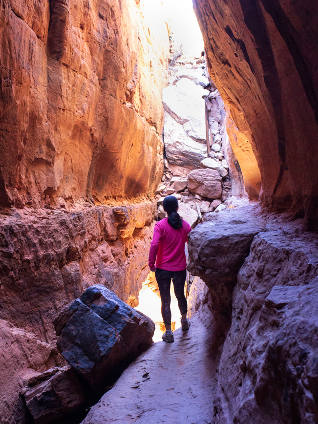
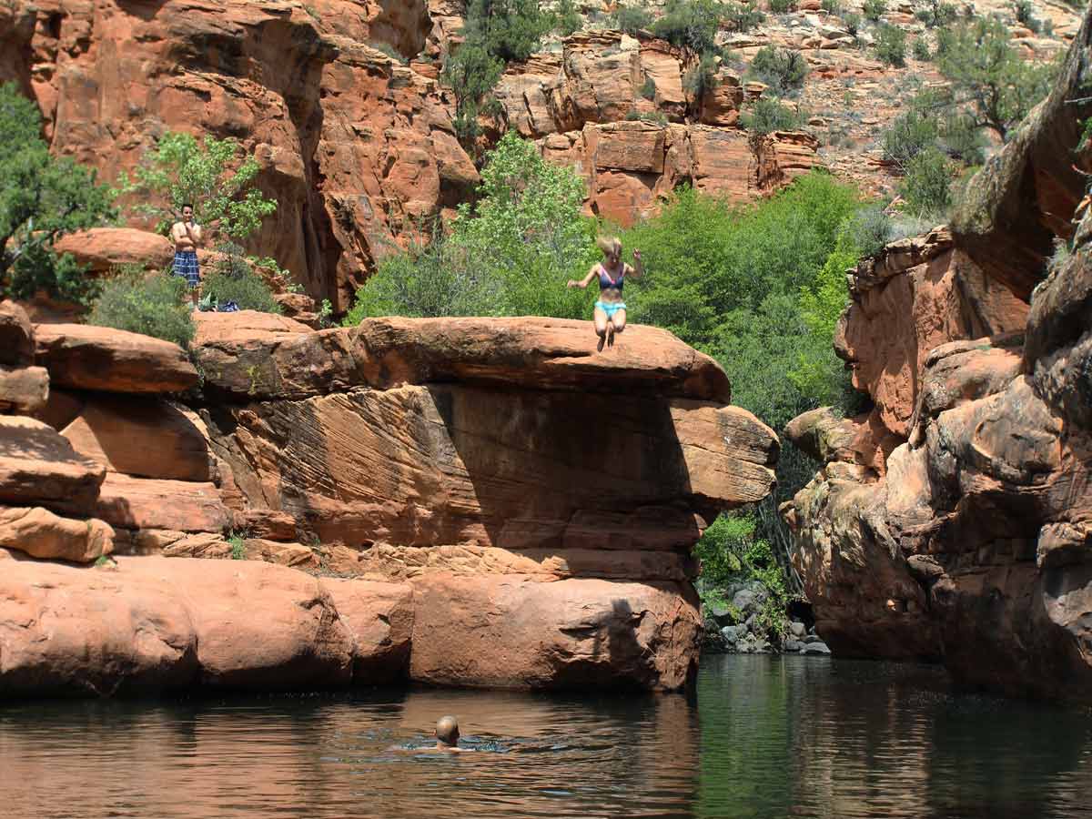 ★★★★☆ Bell Hiking Trail to Wet Beaver Creek’s “Crack” at Bell Crossing / 3.3 miles
The irresistible “splash canyon” on Bell Trail is perfect for an icy, spring-fed, dip. Located 3-miles along this creekside trail, a chilly swimming hole is wedged between tall cliffs.
 ★★★★★ Boynton Canyon Hiking Trail / 3 miles
You’ll feel like Superman, soaking in the birds-eye-views over 100′ pines on this beautiful red-rock trail. This easy hike follows a level box canyon to a short upwards jaunt. Here a high ledge offers super-hero-like views.
 ★★☆☆☆ Brins Mesa Hiking Trail / 3.2 miles
This easy mesa-top stroll is framed by picturesque canyon walls. On one side, sculptural canyons appear painterly in gentle pastels. While on the other side, red and purple valleys create a dramatic and colorful backdrop.
 ★★★☆☆ Jordan Hiking Trail / 1.5 miles
This gently rolling, Pinyon & Juniper-lined trail winds through scenic red-rocks and leads to a deep sink hole. Hike it alone, or link to the Cibola, Brins Mesa & Soldiers Pass Trails to make a longer loop hike.
 ★★★☆☆ Mescal Hiking Trail / 2.5 miles
Skimming the base of a tall, horseshoe shaped butte, the Mescal Hiking Trail serves up choice Sedona views. Look closely and you might catch a glimpse of ancient Native American life in the pockmarked cliffs.
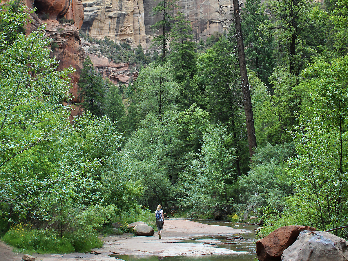 ★★★★★ West Fork Hiking Trail / 3 miles
Meandering through a dizzyingly beautiful canyon, this trail plays hopscotch with a gentle stream. Shaded by tall trees and sky-high cliffs, the West Fork hiking Trail is gorgeous year round, making it a Sedona area favorite.
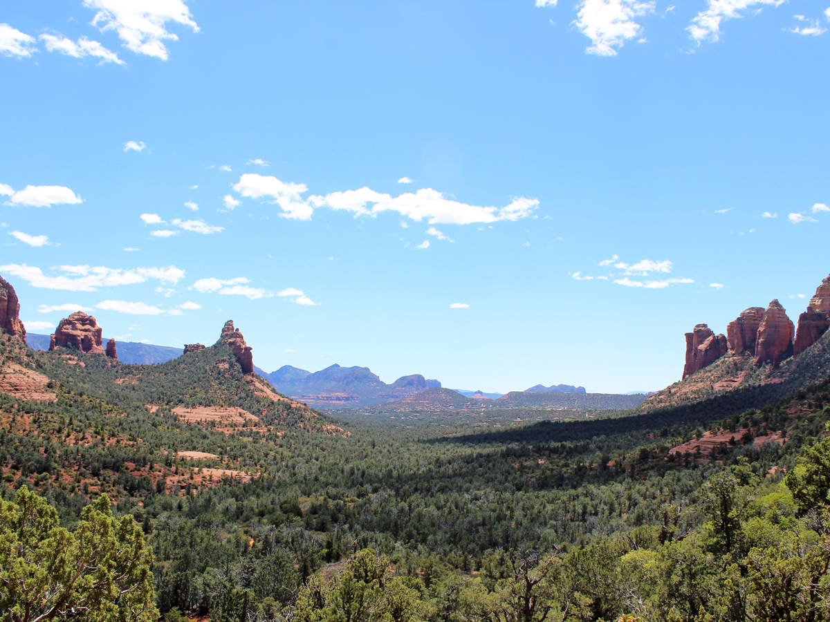
Moderate Sedona Area Hikes
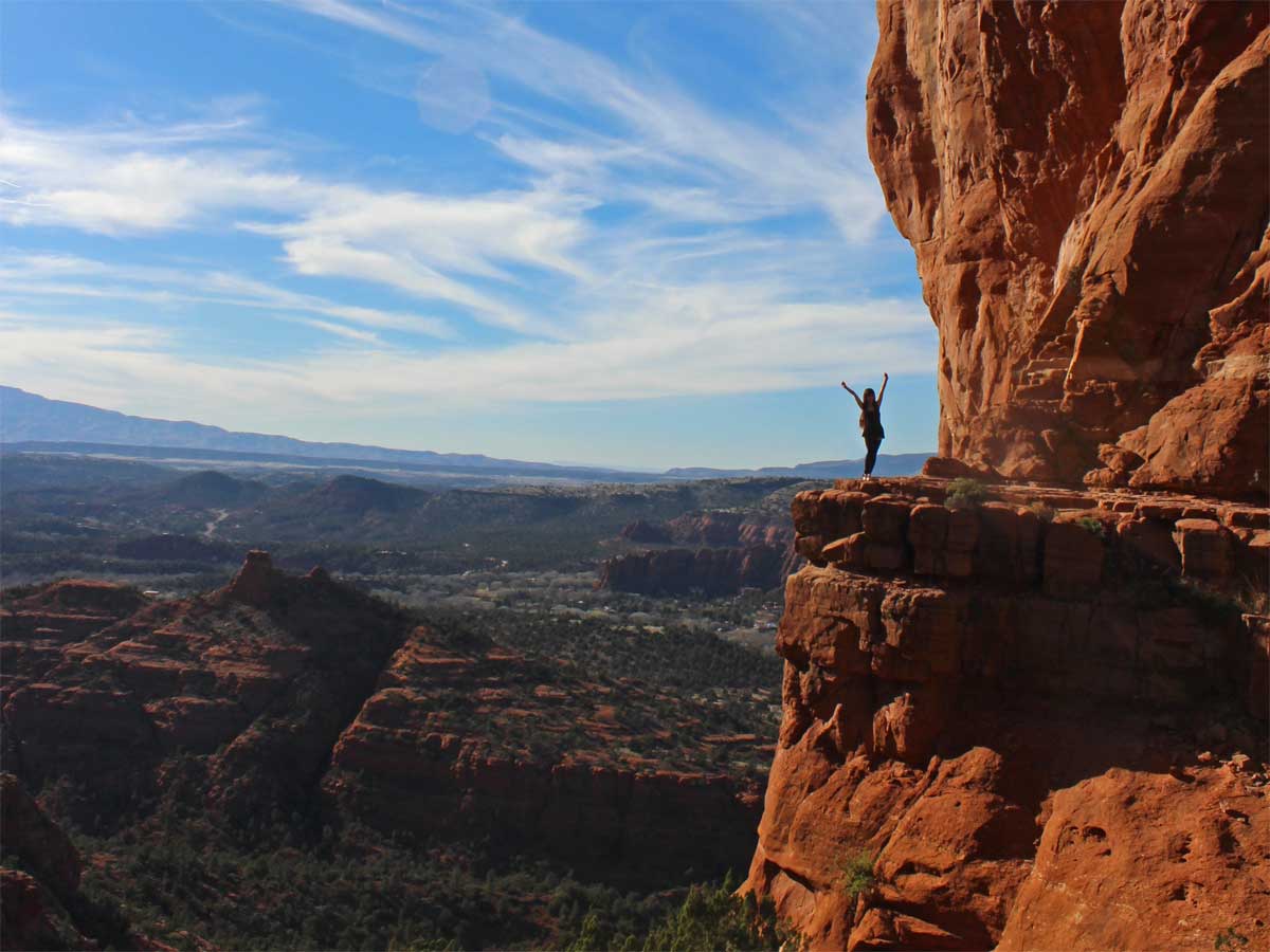
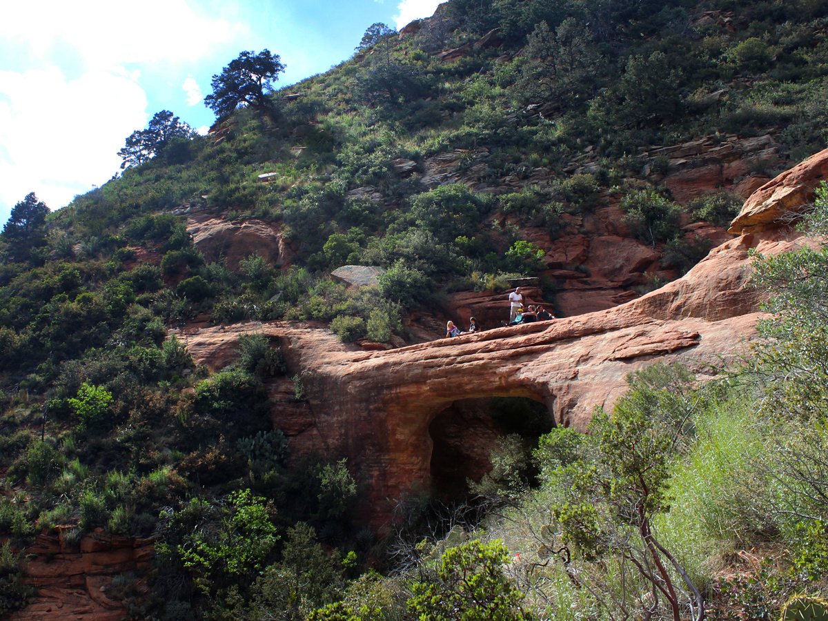
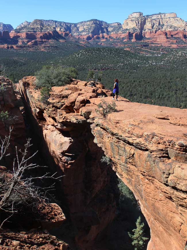 ★★★★★ Devil’s Bridge Hiking Trail / 1.8 miles
This trail is a scenic jackpot: short, sweet, and ending at Sedona’s prize arch! A wide, treelined pathway leads to Devil’s Bridge, a 50′ high, natural arch, nestled into a beautiful valley. “Runway strut” across anyone?
 ★★★★☆ Doe Mountain Hiking Trail / 0.7 miles
Explore the top of a stunning red rock mesa on this short Sedona hike! Climb the side of an ancient butte to an easy-to-explore, football-field-sized platform. Circling the rim, awesome views of Sedona span for miles.
 ★★★★☆ Huckaby Hiking Trail / 2.6 miles
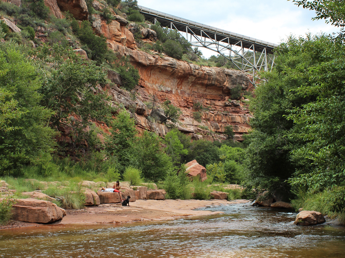
Experience Oak Creek close up, on this creekside hike! Traverse the red rock ridges and treelined riverbanks along refeshing Oak Creek. Then catch some sunshine and a dip beneath Midgley Bridge.
 ★★★★☆ Soldier Pass Hiking Trail / 2.4 miles
Long views, a crazy-big sinkhole, sacred pools, and a cave-lined ridge are cool feature on this hike, that mashes-up some of the area’s wackiest red-rock formations in one short trail.
 ★★★★☆ Soldier Pass Caves Hiking Trail / 1.7 miles
A two-story, red rock cave, sporting excellent Sedona views, sits at the top of this unofficial (but easy to follow) trail. Inside, a short, steep, rock scramble leads to a hidden upper chamber.
Difficult Sedona Area Hikes
 ★★★★★ Bear Mountain Hiking Trail / 2.3 miles
Hands down, Sedona’s best views are caught atop the Bear Mountain Hiking Trail.This absolutely gorgeous trail keeps the heart-pumping. And the entire hike is punctuated with roaringly-good 360° views!
 ★★★★★ Cathedral Rock Hiking Trail / 0.75 miles
An almost “too-good-to-be-believed” photo-perfect ledge with expansive views caps this steep hike up one of Sedona’s most iconic spires. If you like rock scrambles, this hike is for you. Short, but demanding.
 ★★★☆☆ Loy Canyon Hiking Trail / 5.16 miles
Like a hockey-stick chart, this pretty hike kicks off with a gentle 4-mile meander that culminates in a heart-pumping one-mile slog. The quietness of this northern canyon and outstanding summit views, make the climb so-very-worth the effort!
 ★★★★☆ North Wilson Hiking Trail / 2.4 miles
Tucked into a vertically-walled canyon, this hike leads to a gorgeous high plateau that offers seemingly endless hundred-mile views. It is the shorter, shadier route up Sedona’s highest Mountain.
 ★★★★☆ Sterling Pass Trail to Vultee Arch / 2.4 miles
The hike to Vultee Arch, a 50′ huge, red rock bridge, climbs up and over a high Oak Creek canyon. The arch is worthy both for its ginormous size and its tucked-in location, away from Sedona’s sometimes maddening crowds.
Leave a Reply