Ringed by the beautiful Santa Catalina, Rincon and Tucson Mountains, Tucson area hikes traverse Saguaro studded deserts, dramatic gorges, waterfalls and high summits. Desert hikes are best enjoyed in Winter, Spring and Fall. Snow covers the highest peaks in Winter. Mileage noted below, is one way.
Scroll down to explore Tucson hikes by area. Click hike names for full details.
Northern Tucson Area Hikes
 ★★★★★ Bear Canyon Hiking Trail to Seven Falls / Moderate / 4.1 miles
Seven “Wows!” might be a better name for this unique Sonoran hike. The trail hopscotches Sabino Creek, through a striated canyon, to a series of seven dramatic cascading waterfalls.
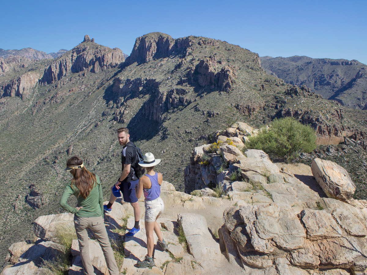 ★★★★☆ Blackett’s Ridge Hiking Trail / Difficult / 3 miles
You’ll feel like you’re flying, standing on thin, sky-high Blackett’s Ridge. This strenuous, rocky hike pays off with some of the best view of Sabino and Bear Canyons, and the eastern Santa Catalina Mountains.
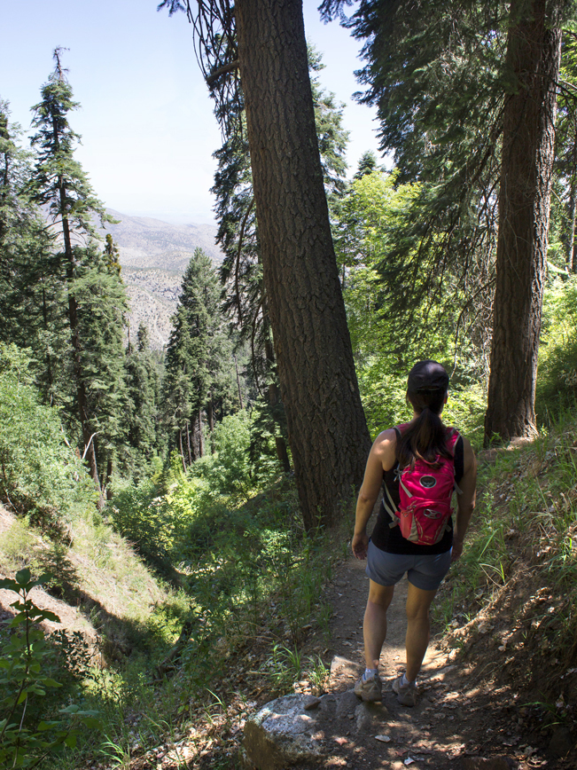 ★★★★☆ Butterfly Hiking Trail / Moderate / 5.6 miles
Escape the desert heat on this pretty “down then up” trail near Mount Lemmon. Starting at a cool 7,550′ elevation, you’ll find seasonal butterflies, wildflowers, a waterfall & an old plane wreck.
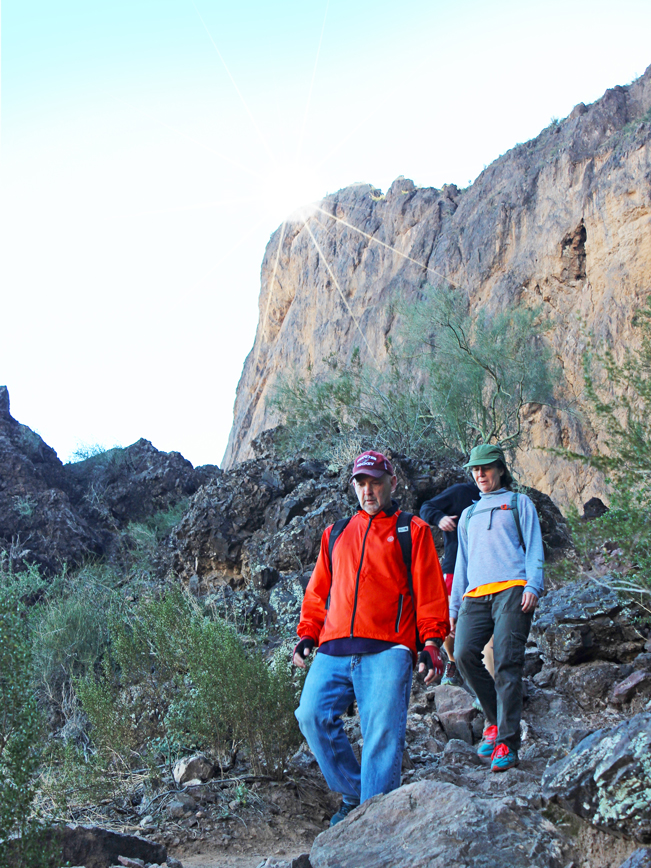 ★★★★★ Hunter Hiking Trail to Picacho Peak / Difficult / 2 miles
Steep scrambles, climbing cables and wooden planks make this an adrenaline-inducing hike. This short, but steep, climb – to the apex of Picacho’s soaring rock face – is not for the faint-of heart, or anyone prone to vertigo.
 ★★★★☆ Romero Hiking Trail to Romero Pools / Moderate – Difficult / 2.8 miles
Crisp, clear pools and waterfalls are splash perfect. Beneath the high peaks of the Santa Catalina Mountains, a stream has carved an splash-worthy playground into the surrounding granite.
 ★★★★☆ Ventana Canyon Hiking Trail to Window Rock / Moderate / 6.4 miles
From the 25′ stone window atop Ventana Canyon, breathtaking views of an unspoiled valley and babbling stream soar. The trail ascends a craggy lower valley to Maiden Pools, then a lush upper valley to Window Rock.
Western Tucson Area Hikes
 ★★★★☆ Hugh Norris Big Loop Hiking Trails / Moderate / 6.6 mile loop
This stunning loop hike brims with Saguaro laden hills and sandy, arroyo lined valleys. It fuses together some of Saguaro National Park West’s best hiking trails (Hugh Norris, Sendero Esperanza, Dobe Wash and Bajada Wash).
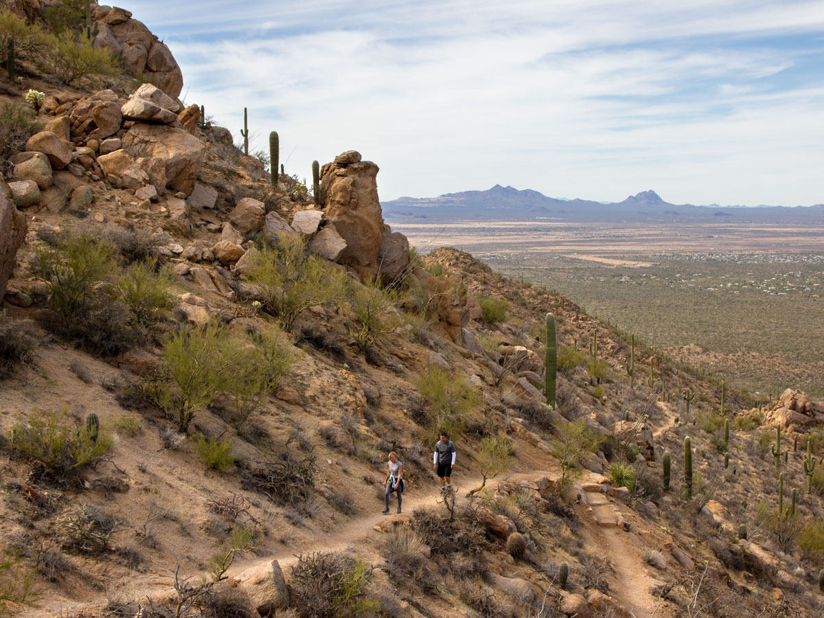
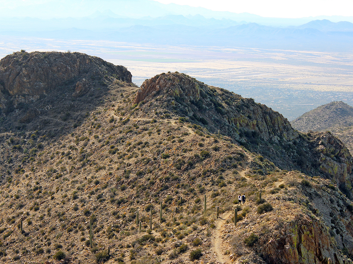 ★★★★★ King Canyon Hiking Trail to Wasson Peak / Moderate / 3.5 miles
A radical ridge line ramble and royal views, are the crown jewels of this trail. From the Tucson Mountain Range’s highest peak, views over southern Arizona reign supreme!
Eastern Tucson Area Hikes
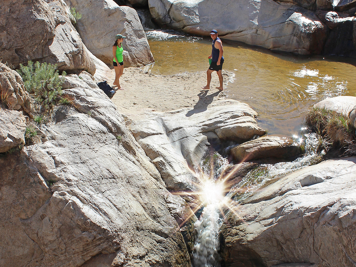
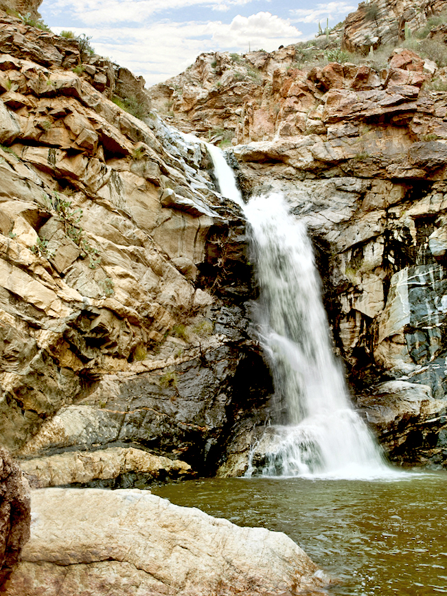 ★★★★☆ Tanque Verde Falls Trail / Moderate / 1.6 miles to falls
Find splash-worthy pools, a canyon stream & seasonal falls on this short, rocky trail. Swimming season or not, Tanque Verde Canyon is a fantastic area to explore!
Southern Tucson Area Hikes
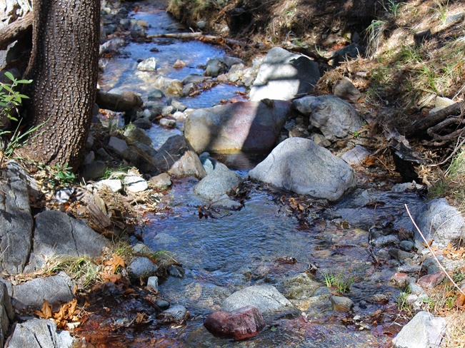 ★★★☆☆ Bog & Kent Springs Hiking Trail Loop/ Moderate / 5.1 mile loop
Do a 180… and head south for a wonderfully cool mountain hike! This 5000′ elevation hiking trail loop crosses icy springs and babbling brooks as it loops through the birdwatching paradise of the Santa Rita Mountains.
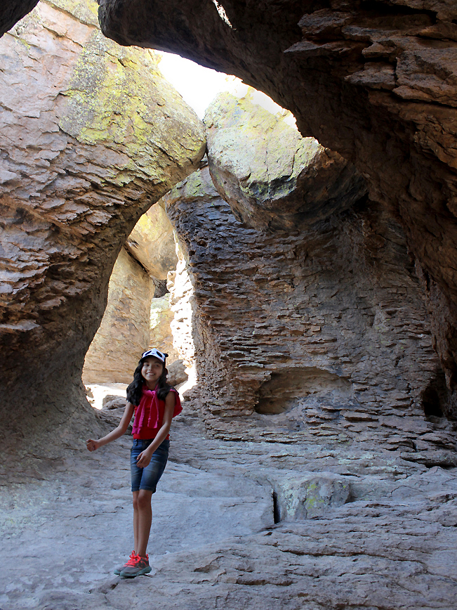 ★★★★☆ Chiricahua’s Grotto from Echo Canyon Hiking Trail / Moderate / 4.2 miles
A mountain top grotto and trailside hoodoos are a blast to explore on this Chiricahua National Monument hike! Kids and adults will love exploring the wacky rock formations sprinkled throughout the trail.
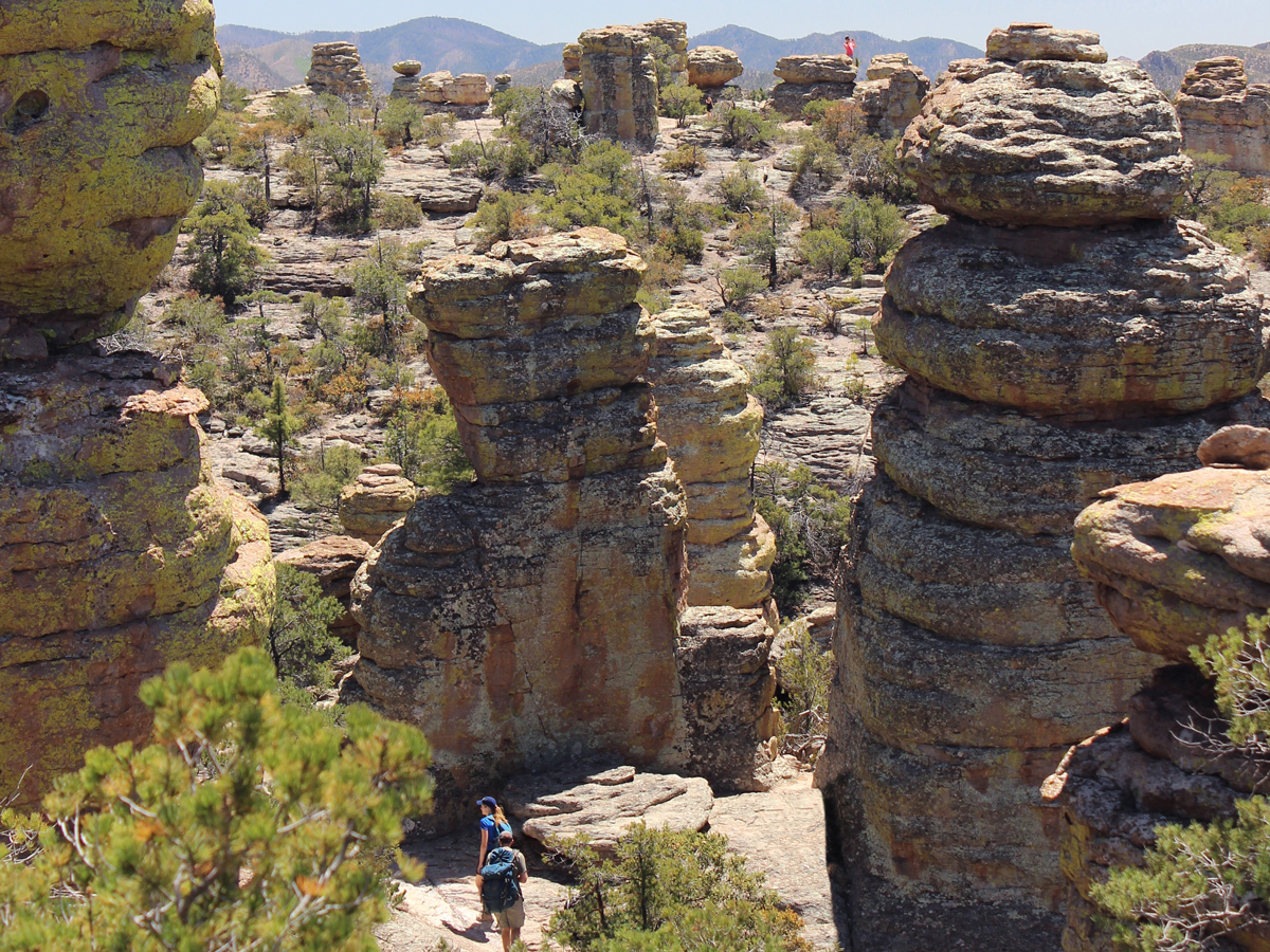 ★★★★☆ Chiricahua’s Heart of the Rocks from Massai Point / Moderate / 7.5 miles
Walk amongst ginormous hoodoos on this downhill hike! With a free shuttle to the trailhead, this hike gets up-close-and-personal to a slew of the massive “standing up rocks” the park is known for, including Heart of the Rocks.