Elden Lookout Hiking Trail
★★★☆☆ Difficult / Flagstaff Area:
Cardio lovers . . . meet your dream hike! With an uphill trail woven between fragrant Ponderosas, and soaring views at every turn, the Elden Lookout Hiking Trail is heart-pumping fun. It ascends from the base of Flagstaff’s Mount Elden to the lookout tower at its peak. You’ll feel like the King or Queen of the mountain once your hiking boots set foot on the scenic summit.
TRAILHEAD: US 89, ABOUT 0.5 MILES NORTH OF THE I-40 S TURNOFF • DIFFICULTY: difficult • DISTANCE: 3 MILES (6 miles RT) • APPROX. TIME: 3.5-4.5 HOURS • ELEVATION GAIN: 2,400 FEET (170 STORIES) • APPROX. CALORIES BURNED: 1,020-1,140 • BEST TIME OF YEAR: MARCH – NOV. • PETS: with endurance • KID FRIENDLY: no • FACILITIES: NONE • FEES: NONE
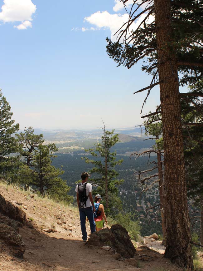 Heading left from the trailhead that is shared with the family-friendly Fatmans Loop, the first mile of the Elden Lookout Hiking Trail is flush with families and young kids, playing on the boulders and enjoying this easy shared section of trail along the base of the mountain. Once the Fatmans Loop reaches its highest point, one-mile in, the Elden Lookout Hiking Trail branches off sharply to the north and begins its climb for real.
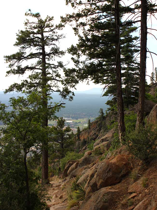
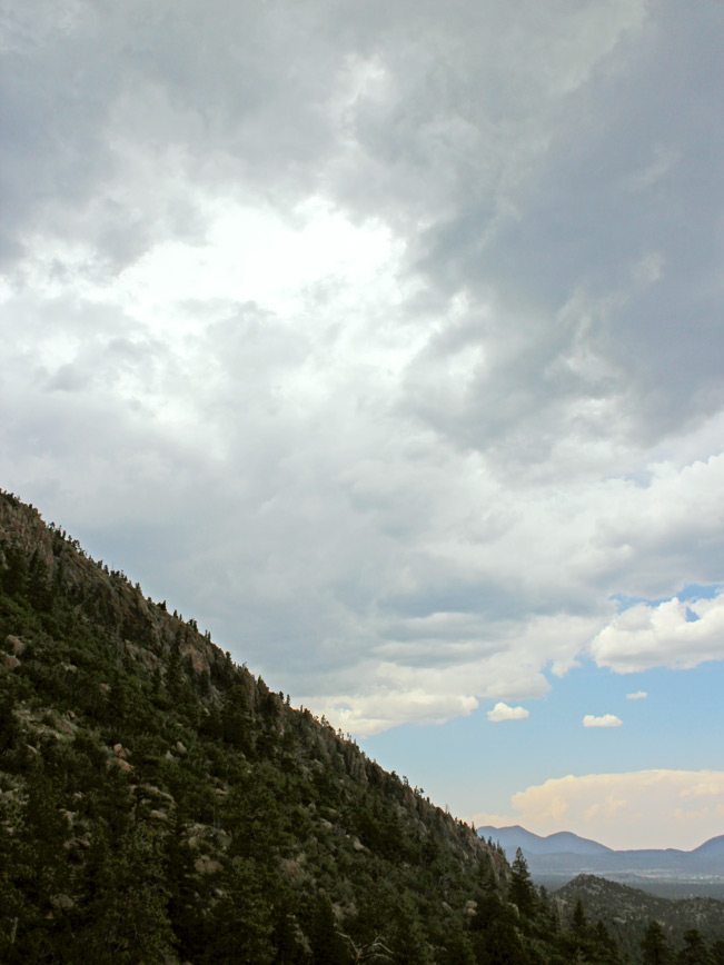
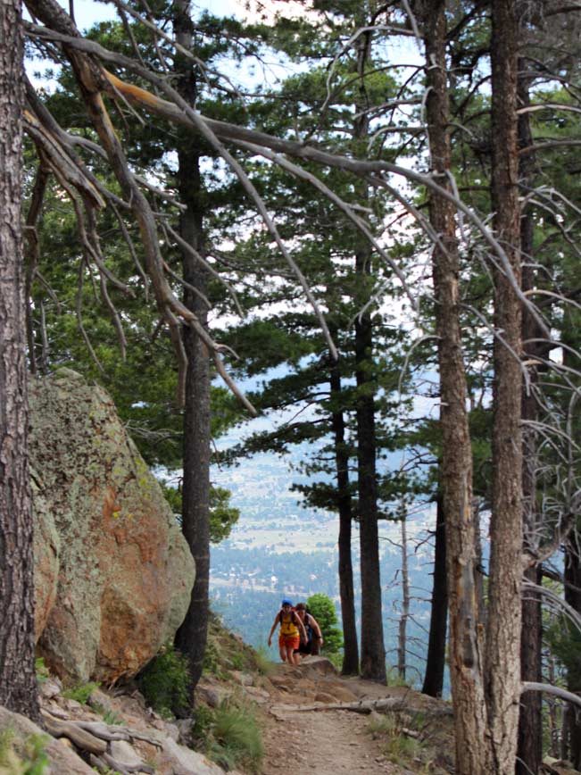 From this point on, the trail’s ongoing switchbacks and consistent grades will get your heart pumping, while its incredible vistas will keep your eyes dancing from gorgeous view to gorgeous view. Looking forwards, steep cliffs of layered rock form magnificent expanses, while behind, endless panoramas of the Flagstaff area plains and surrounding hills spread out like an immense pastel drawing.
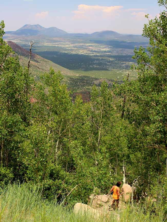
 As the trail approaches the summit, tracts of bright green Aspens, with tiny flowers at their feet, hug the trail and signal that the top is near. The Elden Lookout and its neighboring satellite towers begin to intermittently peak out above the branches. Exiting the trees, the views are 360° and jaw-dropingly good. Mount Humphreys rises to the north while Oak Creek Canyon, the Mogollon Rim and beyond, spread out to the south.
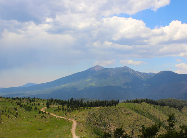 At the summit there are excellent areas to sit on the grass, relax, get your heart rate down, and enjoy the truly exorbitant panoramas.
Total Nerdery
Mount Elden’s textured cliffs of layered petrified lava, are often referred to as “Corduroy Canyon” by Flagstaff locals.
Resources
Click here to download a trail map.
Directions From the intersection of US-89 and I-180 in Flagstaff, drive 7.5 miles northeast on US 89. The trailhead parking lot for the Elden Lookout Hiking Trail is located on the left /north side of US 89. It is two left turns beyond the turnoff for I-40 S (on the right) and the Peaks Ranger station (on the left).
- Dayhike, Difficult, Flagstaff, Mountains, San Francisco Mountains, Views
- July 5, 2015


2 Responses to Elden Lookout Hiking Trail
For the Elden Lookout Trail. It is prone to high winds.
I hiked it in high cross winds (30-40mph) some few years ago & it terrified me to the point I’ve had vertigo climbing anything for the last 10 years. Fortunately, starting to recover and may go back to the Grand Canyon next year (I used to hike the GC 3-4 times a year).
There are exposed sections on the trail, with severe drop-off where you REALLY don’t need cross-winds & the threat of mountain lions at the bottom is far less scary,.
Yikes! Hikers definitely need to keep aware of Flagstaff’s fast weather shifts. High winds would be a frightening experience for sure! Luckily I haven’t encountered high winds on Elden yet. But have called off a couple of hikes mid-mountain when thunderstorms rolled in quickly. I’m so glad that you are getting back out on the trails. Sounds like you really enjoy it.