Rainbow Valley and Toothaker Hiking Trail Loop


★☆☆☆☆ Easy / Goodyear:
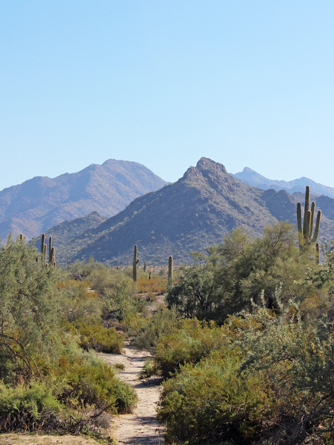
Winding through a series of interconnected valleys, the Rainbow Valley and Toothaker Hiking Trail Loop is decidedly “nice & easy.” The hike’s wide, mildly inclined pathways span long desert stretches, sandy arroyos and curvacious hillside rambles. While views of nearby Goodyear and distant purple mountains frame the horizon.
TRAILHEAD: 14805 West Vineyard Avenue, Goodyear • DIFFICULTY: easy • DISTANCE: 6.2 MILE loop • APPROX. TIME: 3.5-4.5 HOURS • ELEVATION GAIN: 365 FEET (26 STORIES) • APPROX. CALORIES BURNED: 810-930 • BEST TIME OF YEAR: OCT. – APRIL • PETS: YES • KID FRIENDLY: yes • FACILITIES: YES (at welcome center) • FEES: $7 day pass (or $85 annual Maricopa parks pass)
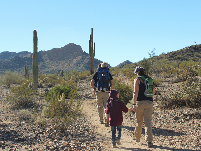
 Snuggled up against metro Phoenix’s southwestern border is the almost 20,000 acre, Estrella Mountain Regional Park. In the top corner of this desert sanctuary, a series of mostly easy, meandering trails ramble along the valley floors, tucked between tall, cactus studded hills. The Rainbow Valley and Toothaker Hiking Trail Loop is one of many potential loop hikes in the park, created by joining together various trail segments (see downloadable map below).
 The trailhead for both the Rainbow Valley and Toothaker Hiking Trails is located across from the park’s Rodeo Arena – a horseback riding stable and show area. Starting the loop on the Rainbow Valley Trail, the first 3/4-mile of the hike crosses a shallow valley, as it works its way towards the park’s northernmost hills.
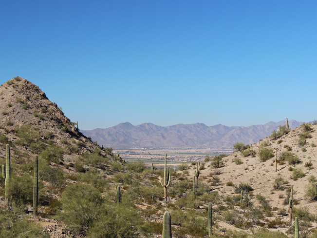
 For the next mile and a half, the path winds flatly along the sides of these hills. Scenic views of Goodyear, its airport and the distant peaks of the White Tank Mountains span generously to the north.
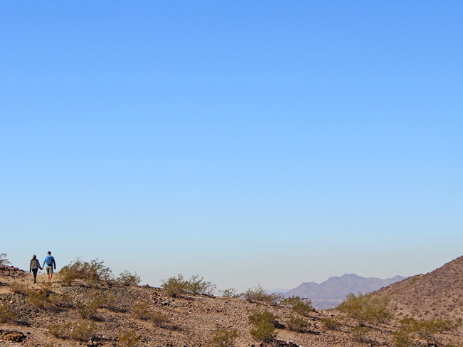
 At about 2.5 miles, the Rainbow Valley Trail gently descends the hillsides, crosses a soft sandy wash, and begins to curve back towards the heart of the park. The views shift graciously from suburban vistas to stretches of flat desert rimmed by distant purple mountains.
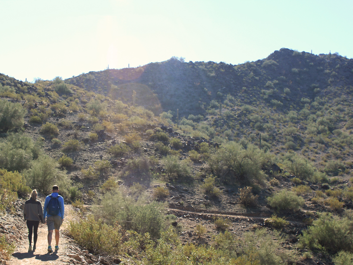
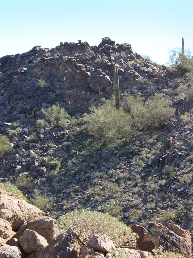
 Ascending between two hills, the path steepens for a bit as it continues winding into the park’s interior. A tall, boulder laden crest marks the highest point of the Rainbow Valley and Toothaker Hiking Trail Loop. From the top of the boulders, lengthy views of the Estrella Mountain’s undulating interior hills stretch in every direction.
From this point on the Rainbow Valley and Toothaker Hiking Trail Loop mildly descends and then evens out. The Rainbow Valley Trail ends at a T-intersection with the Toothaker. Turning left, the path remains flat as it moves along the side of a deeply carved wash.
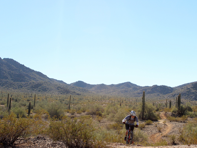 With the exception of one brief wash crossing, the Rainbow Valley and Toothaker Hiking Trail’s last two miles are easy and even, moving across the valley floor. Occassional mountain bikers should be expected as the trail is shared usage and ideal riding territory.
Total Nerdery
The Sierra Estrella Mountains belonged to Mexico until 1853, when Uncle Sam bought them as a part of the Gadsden Purchase. And yes, that is spelled correctly.
Resources
Click here to download a trail map.
Directions From the intersection of I-10 and AZ 101 West (in Glendale), head west on I-10 for 5.09 miles to exit 128 / Litchfield Road. Turn south on Litchfield Road and continue for 2.32 miles to South Country Road. Turn right /west onto South Country Road and drive 1.2 miles to South Bullard Avenue. Turn left / south onto South Bullard Avenue and continue for 2 miles to West Vineyard Avenue. Turn right / south to the Estrella Mountain Park Entrance. The Rainbow Valley and Toothaker Trailhead parking areas are located 1.5 miles further along the park road at the Rodeo Arena.
- Boulders, Central Arizona, Dayhike, Easy, Estrella Mountains, Hills, Valleys, Views
- January 1, 2016
Leave a Reply