Waterfall Hiking Trail
★★★★☆ Easy / Phoenix Area:
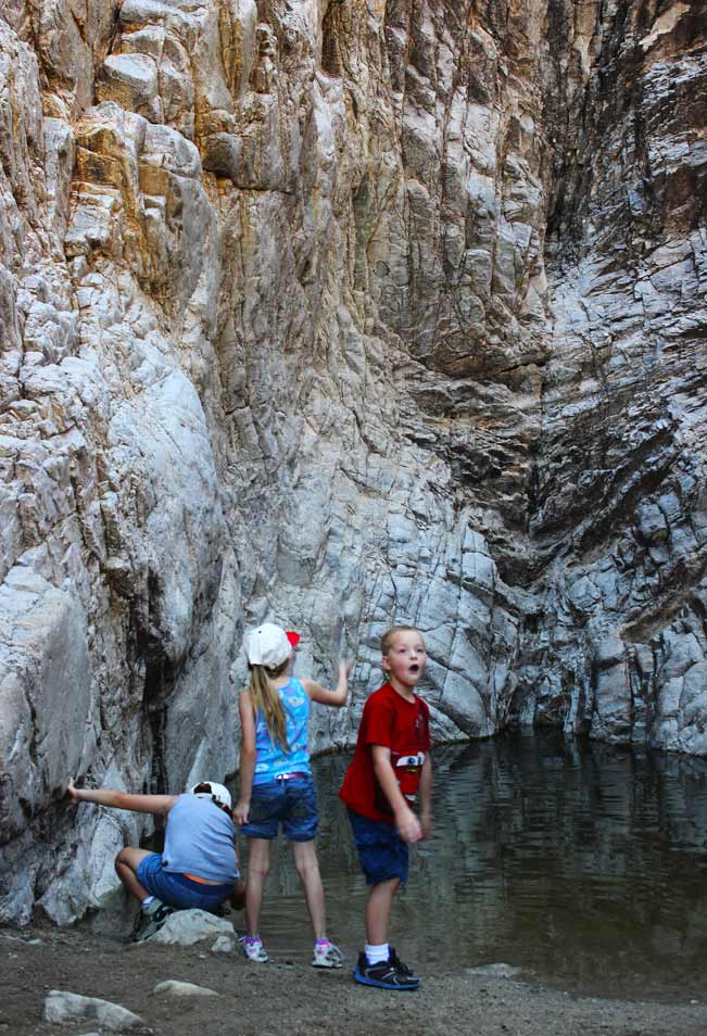
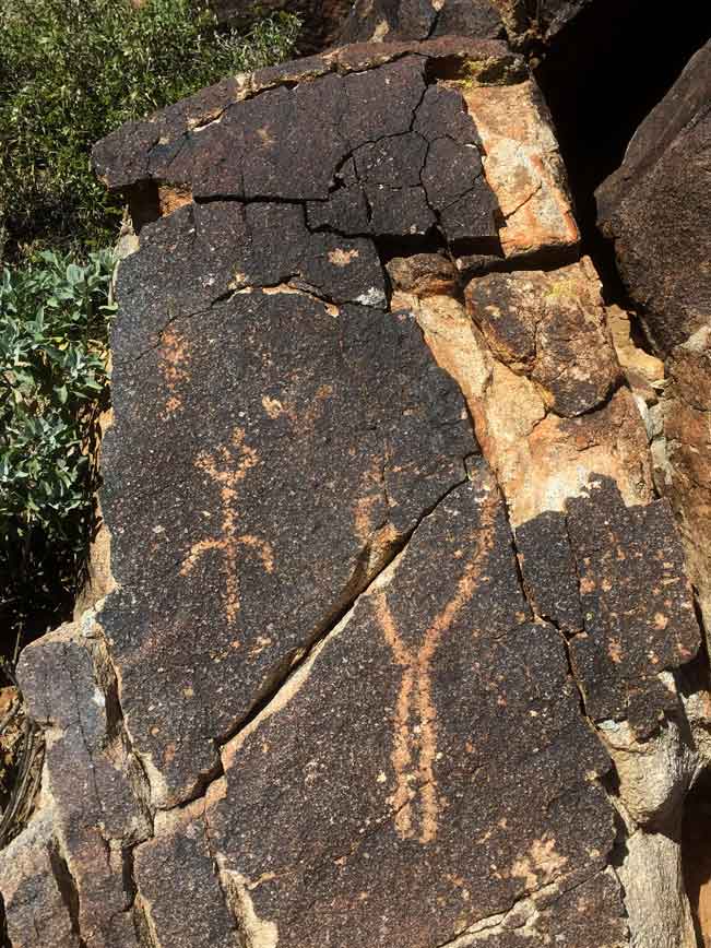
This super-easy trail, packed with engaging educational perks, sets a high bar for quality family time outdoors! Kids as young as two will have a blast criss crossing the wide, level pathway to check out the centuries old, Native American hieroglyphics alongside the Waterfall Hiking Trail. Squeals of delight are sure to ensue when they reach the surprise treasure hiding at the trail’s end. Here, after rainy days, a cold pool forms at the base of a tall, dripping canyon. It’s perfect for a frosty toe dip before the walk back to the trailhead. Plus, the park is loaded with playgrounds, swing sets and covered picnic areas, perfect for a full day outdoors.
TRAILHEAD: 20304 W. White Tank Mountain Road, Waddell • DIFFICULTY: easy • DISTANCE: 0.9 MILES (1.8 MILES RT) • APPROX. TIME: 1-1.5 HOURS • ELEVATION GAIN: minimal • APPROX. CALORIES BURNED: 200-250 RT • BEST TIME OF YEAR: sept.–may. • PETS: YES • KID FRIENDLY: ideal! • FACILITIES: YES • FEES: $7 Day Use (OR $85 ANNUAL Maricopa PARKs PASS)
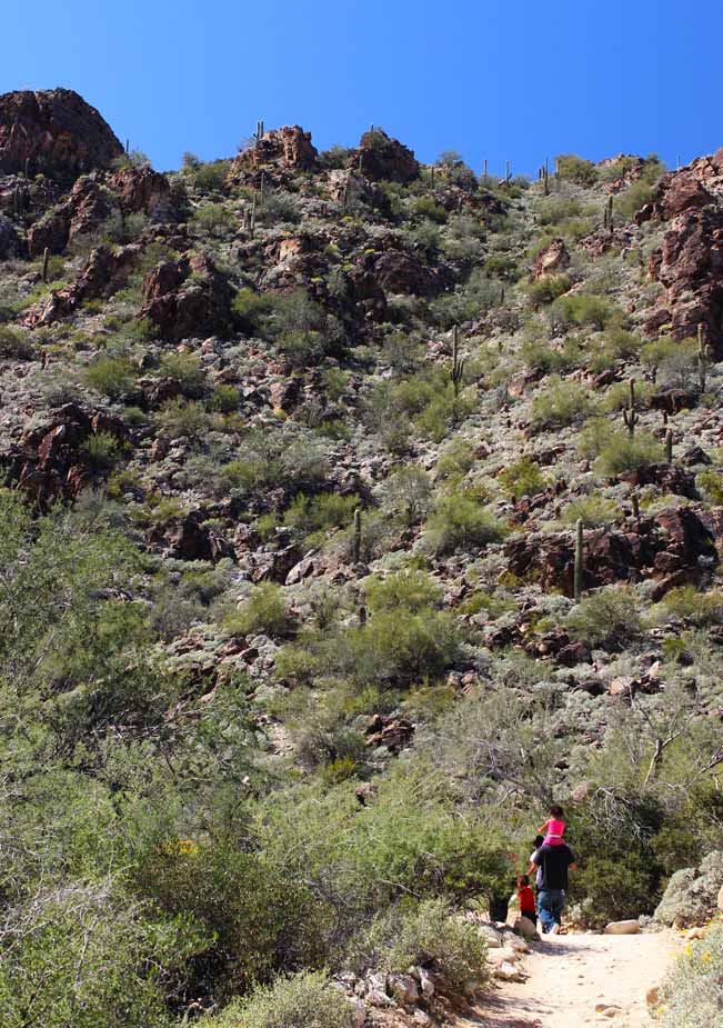
 The Waterfall Hiking Trail starts just behind picnic area #6 in Central Arizona’s White Tank Mountain Regional park. Parking is readily available. And on weekends there are often food vendors, music, and numerous families making use of the expansive facilities. Along the length of this short hike, Illustrated signs provide engaging, easy to understand information about the history of the range, the Native Americans who once lived there, its plant and animal life, and the remarkably abundant ancient hieroglyphics, which are viewable at close range on the boulders surrounding the path.
 The scenic pathway meanders through a mountain valley, alongside of one of the “white tanks” that the area is named for: a dry river bed lined with huge granite boulders washed white by centuries of mountain rain. The canyon wall in the distance marks the end of the Waterfall Hiking Trail, and it is there that the surprise “treasure” is hidden. After ascending a few easy stairs, trail goers find themselves at the opening of a tall, shallow canyon. Inside a pool of clear, cold water rests quietly beneath soaring stone walls, as shafts of light peak in from above. If you are lucky enough to visit after a strong rain, a light waterfall sometimes trickles down the vertical sides.
The pool at the base of the Waterfall Hiking Trail is fed by two larger pools situated in the canyon above. As those pools overflow with rainwater, water is released and flows down into the canyon at the trail’s end. The upper pools are off limits to hikers.
Resources
Click here to download a trail map
Directions (North Phoenix) From the northern intersection of I-17 and AZ-101, take AZ- 101 west 13.5 miles to exit 9/Olive Avenue. Turn right/west on Olive Avenue and continue 13.8 miles to the entrance to White Tank Mountain Regional Park. Beyond the entrance continue on West White Tank Road to Waterfall Canyon Road. Take a left on Waterfall Canyon Road and follow the signs to Picnic area #6. The trailhead is at the side of the picnic area.
(South Phoenix) From the southern intersection of I-17 and I-10, take I-10 west 18.4 miles to exit 124/AZ-303. Drive 5.3 miles to exit 109/Glendale Avenue. Turn left/west on Glendale Avenue and continue .5 miles to Cotton Lane. Turn right/north on Cotton Lane and drive 2 miles to Olive Avenue. Turn left/west on Olive Avenue and continue 4 miles to the entrance to White Tank Mountain Regional Park. Beyond the entrance continue on West White Tank Road to Waterfall Canyon Road. Take a left on Waterfall Canyon Road and follow the signs to Picnic area #6. The trailhead is at the side of the picnic area.
- Central Arizona, Dayhike, Educational, Family Friendly, Interpretive, Phoenix Area, Short, Waddell, Water
- March 21, 2015


Leave a Reply