Boynton Canyon Trail
★★★★★ Easy / Sedona Area:
It’s easy to feel a bit like Superman flying through the air – with hundred-foot Pines peeking up from below the ledge at the end of this incredible red-rock trail. As an easy hike (containing only a short, moderately steep jaunt at the very end) the views of majestic canyons and sculptural rock formations found within the Boyton Canyon Hiking Trail are truly “above and beyond!”
TRAILHEAD: Boynton Canyon Road (just before enchantment resort), sedona • DIFFICULTY: easy (moderate for last .5 mile) • DISTANCE: 3 MILES (6 miles rt) • APPROX. TIME: 3-4 HOURS RT • ELEVATION GAIN: 450 FEET (32 STORIES) • APPROX. CALORIES BURNED: 780-900 RT • BEST TIME OF YEAR: Sept. – May • PETS: YES • KID FRIENDLY: YES (use caution at top) • FACILITIES: YES (but no water) • FEES: RED ROCK ($5 DAILY, $15 WEEKLY, $20 ANNUAL) OR NATIONAL PARK PASS ($85 ANNUAL) REQUIRED
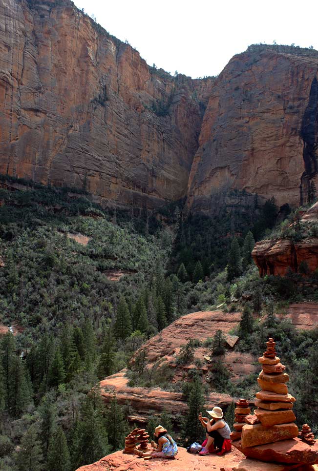 This Sedona trail begins its mostly level journey into the increasingly narrow, three sided, Boynton box canyon at its widest point – in a desert setting along the base of one of the canyon’s towering stone walls. As the Boynton Canyon Hiking Trail traverses the canyon for the first mile, shade from sporadic Pines provides welcome relief to it’s predominantly sun drenched exposure. Laughter from the adjacent Enchantment Resort, and glimpses of its buildings, accompany this stretch as well.
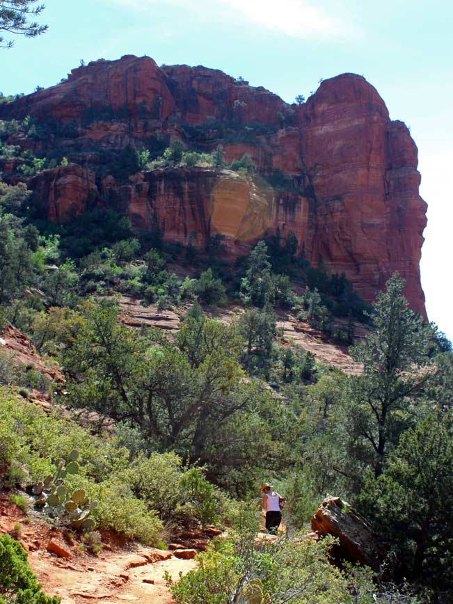 Little by little this “sunglasses required” desert trail transforms into an exquisitely shaded one: complete with cushiony sand footing and beautiful Manzanita lined pathways. A creek bed appears and the trees become increasingly tall and thick as the canyon begins to narrow. At about 1.5 miles, lofty pines take over – offering glimpses, between branches, of surreal spires and rock formations worn into the canyon walls. The Boynton Canyon Hiking Trail remains mostly flat as it moves deeper into the gorge.
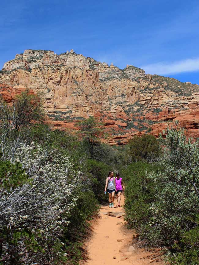
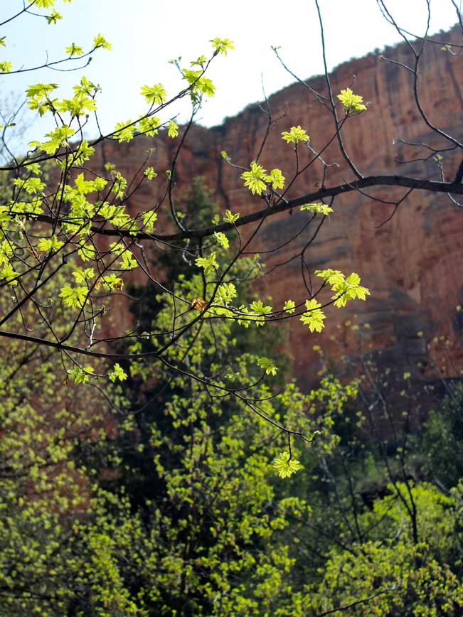
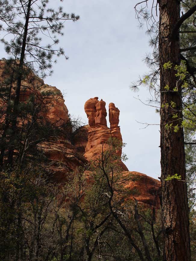 For the final half mile, the trail becomes moderately steep, working its way off the canyon floor, and up onto a ridge towards the back of the canyon. Well maintained stone “steps” ease the ascent. And the view from the top will put to rest any doubt you may have entertained about completing this portion. Here, the tips of the tall pines you just walked under hardly brush the canyon ledges, and appear miniature between sky scraping vermilion cliffs. Expansive views out to the mouth of Boynton Canyon and the sky and mountains beyond are too majestic to really capture.
Total Nerdery
Boynton Canyon is home to one of Sedona’s four Vortexes. It is located at the base of the large “Kachina Woman” spire at the start of the trail.
Resources
Click here to download a trail map.
Directions From the intersection of I-17 and AZ-179 (I-17 exit 298) head north on AZ-179 towards Sedona. Drive 14.5 miles on AZ-179 to the intersection of AZ-89A. Turn left/west on AZ-89A and drive 3.1 miles to Dry Creek Road. Turn right/north on Dry Creek Road (which turns into Boynton Pass Road). Continue until the road ends in a T at Boynton Canyon Road. Turn right on Boynton Canyon Road. The trailhead parking lot is less than a quarter mile further, on the right.
- Canyon, Dayhike, Northern Arizona, Sedona, Vortex
- April 4, 2015


2 Responses to Boynton Canyon Trail
I am new to hiking so I am very excited to see this easy hike in Sedona. When we arrive in AZ in January, this will be one of the first hikes we take. Thank you for this wonderful, inspiring write up!
I hope you enjoy your trip and hike. The end of this trail, especially, is very pretty, and provides a nice taste of Sedona’s unique beauty.