Quartz Hiking Trail Loop


★★★☆☆ Moderate / Phoenix Area:
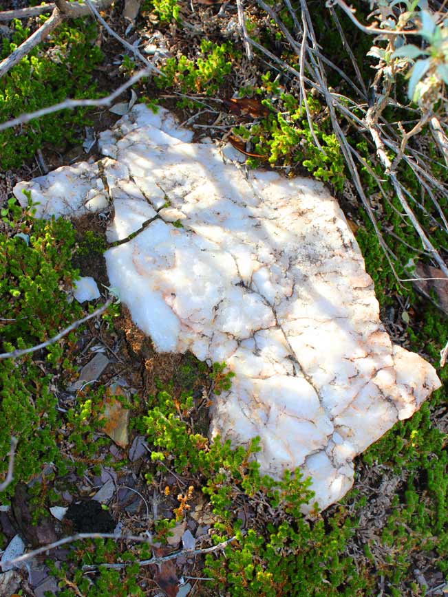
The Quartz Hiking Trail is named the Quartz Hiking Trail because it is laden with . . . you guessed it . . . Quartz! Ethereal white quartz. Abundantly scattered over the trail like large glittering breadcrumbs. Tumbling over the surrounding hillsides. Stacked into trail cairns. And jutting out of the earth in one of the largest outcroppings of this translucent mineral that I have personally come across in my hikes thus far. The setting produced by this glistening natural decor, alongside the area’s gently rolling hills, ancient Saguaros, and quiet location, makes for a magical day out for hikers of every age.
TRAILHEAD: 37900 N. Cave Creek Parkway, Cave Creek • DIFFICULTY: moderate • DISTANCE: 4 MILE loop (including access trails – see description) • APPROX. TIME: 2.5 -3.5 HOURS • ELEVATION GAIN: 250 FEET (21 STORIES) • APPROX. CALORIES BURNED: 600-680 • BEST TIME OF YEAR: Oct-Apr • PETS: YES • KID FRIENDLY: YES • FACILITIES: YES (NO WATER) • FEES: $7 day Use (or $85 Annual Maricopa Parks Pass)
 As one of the seven connecting trails that occupy the Cave Creek Regional Park, the Quartz Hiking Trail must be accessed by starting your hike at either the Overton or Slate trailheads. The four trails whose various parts connect to form what is this lovely four-mile loop (Overton, Go John, Quartz and Slate) are all moderate level hikes, well marked and easy to follow. The downloadable map (under Resources below) provides an easy view of how the loop comes together.
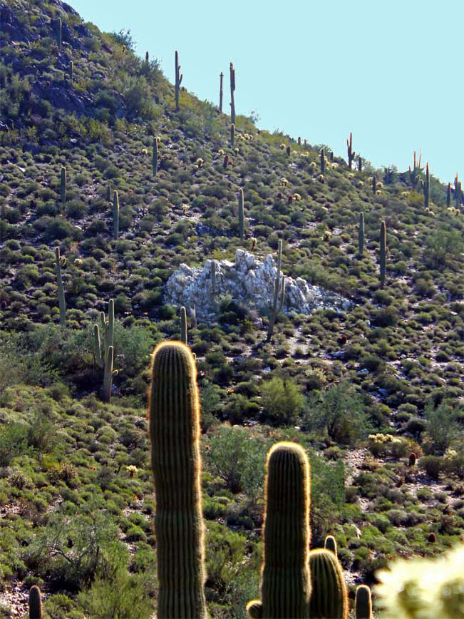
Starting off at the Slate trailhead the hike follows a path popular with, and rutted by, the area’s horseback riders. This flat-ish portion proceeds along the base of a quiet valley. At one mile, the Slate Trail says “Hi” to the Quartz – which heads North to meander through gently rolling hills. Age-old Saguaros come into view and scatterings of quartz become abundant. A half mile further, the hike’s highlight appears: a 12 foot high outcropping of solid white quartz, standing erect like a hillside phantom. The hike continues with lovely rambles and a bench (offering a view of the outcropping just passed).
 The Quartz Hiking Trail’s northern tip stops at the juncture of the Go John Trail (a great hike in and of itself). A left here continues the loop, leading you through equally lovely rolling hills and, at high points, offering up pristine views of the distant North East Valley. Finally, the Go John connects with the Overton, where another left turn takes you back to “Go” and the Slate Trailhead where you began your hike. Obviously, this loop can be done in reverse order: starting at the Overton and ending at the Slate.
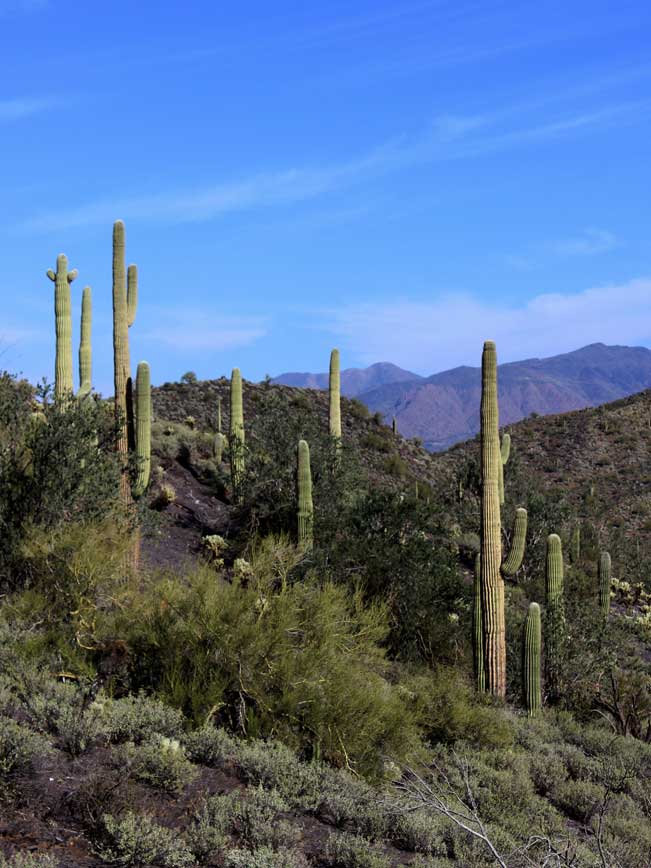
Total Nerdery
Quartz is the second most abundant mineral on earth.
Resources
Click here to download a trail map
Directions From the I-17 (north of Phoenix) take exit 223A/AZ-74 (Carefree Highway) and head east (towards the towns of Cave Creek and Carefree). Continue 6.9 miles to North 32 Street. Turn left/north on North 32 Street and drive 1.8 miles to the entrance of the Cave Creek Regional Park. Once through the entrance continue approximately .75 miles on Cave Creek Park Road to Tonalite Drive. Turn left/north on Tonalite Drive for trailhead parking.
- Cave Creek Recreational Area, Central Arizona, Hiking, Phoenix Area, Quartz Trail
- February 28, 2015
Leave a Reply