★★★★☆ Easy / Carefree Area
Follow a soft, sandy wash to a surprise waterfall, tucked between gently rolling hills. The Blue Wash Hiking Trail is a perfect family outing during early spring, when northern snow melt sends water southward, or after an ample monsoon. This easy trail serves up lots of small delights.
TRAILHEAD: North Cave Creek Road, East of Carefree • DIFFICULTY: Mostly Easy • DISTANCE: 1.3 Mile (3.6 Miles rt) • APPROX. TIME: 2-3 HOURs RT • Starting Elevation: 3,242′ • ELEVATION GAIN: -425 (-30 Stories) • APPROX. CALORIES BURNED: 450-500 • BEST TIME OF YEAR: September-April • PETS: yes • KID FRIENDLY: yes • FACILITIES: None • FEES: None
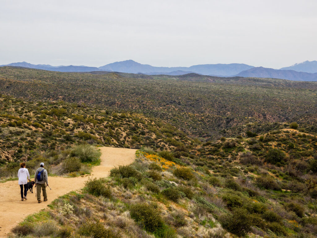 The Blue Wash Hiking Trail is a mostly-easy, reverse-hike. It starts at the top of a gently rolling hill, the highest point on the trail. Here, stunning views of untouched Sonoran Desert spread out for miles. Four Peaks, the Superstitions and Weavers Needle line the distant horizon. The first quarter mile of the hike meanders moderately downhill on a wide dirt pathway.
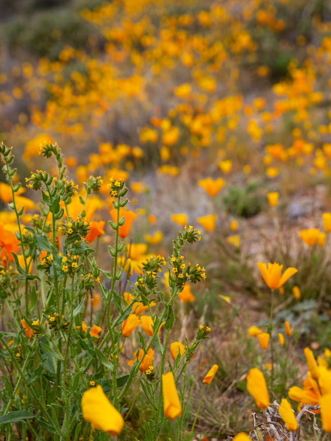 During March and April, bright orange Mexican Poppies and Fiddleneck Flowers often blanket the hillsides. It’s an awesome area for camera buffs wanting to take images of spring blooms.
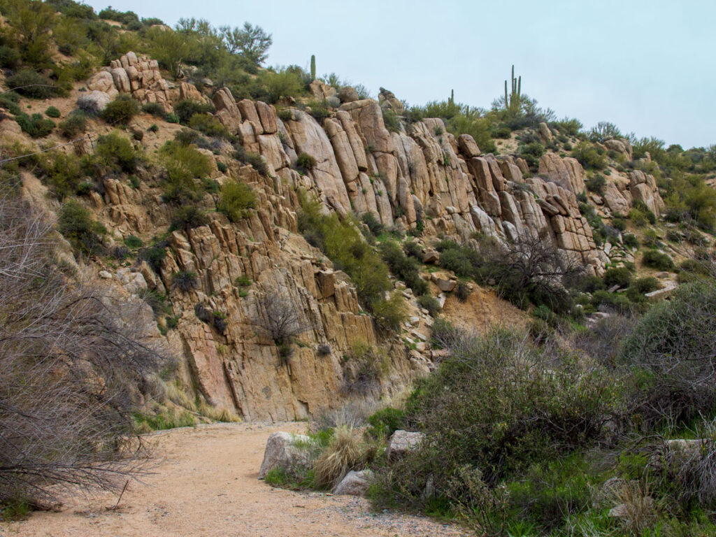 At the base of the hill, the trail curves left and enters wide, granite-lined, Blue Wash. This soft, sandy arroyo becomes the path for the next 0.6 miles.
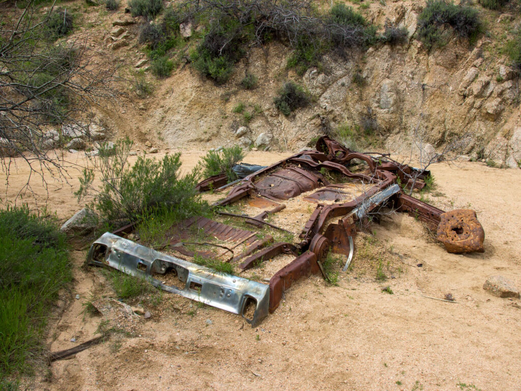 The rusted remains of a car peek out of the sand a little ways into the wash. It’s crazy to imagine the water that deposited it here decades ago. And a good reminder to stay out of the area during monsoons!
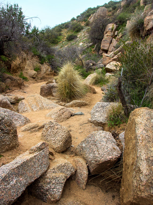 The path alternates between wide sandy swaths and areas strewn with randomly deposited boulders. Trickles of water bubble up unexpectedly in spots during wetter months. Then disappear just as quickly. And mohawk-like grasses poke out of crevices in the granite cliffs.
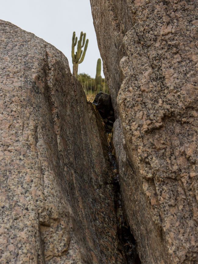 At times, a miniature fall, trickles down a crevice on the left side of the arroyo, about 0.3 miles into the hike.
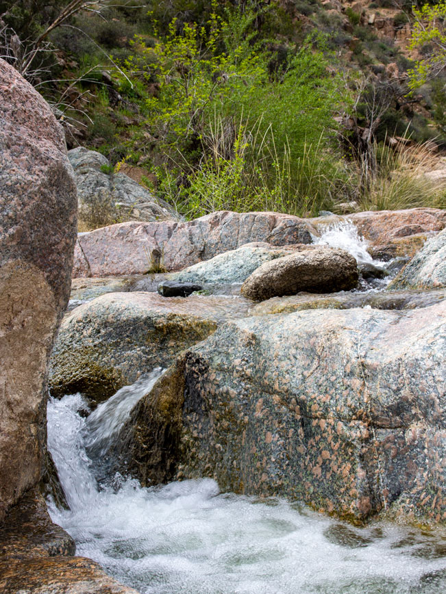 One mile into the hike Blue Wash widens as it approaches the T-intersection with Camp Creek. During spring, or after a good rain, Camp Creek often flows vigorously. A flag on top of a small hill marks the intersection. Turn left here, and follow Camp Creek Wash. The next 0.3 miles offer lots of creek crossings and pretty rivulettes during wetter months. Water shoes are recommended, but definitely not required.
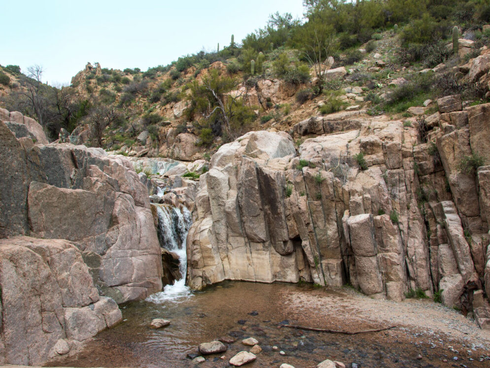
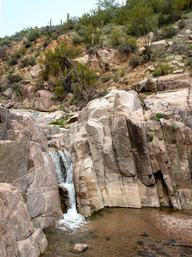 Finally, the hike reaches its payoff: 10′ high Camp Creek Falls! In spring, or after a good rain, a solid gusher crashes down the area’s water-smoothed granite cliffs. And a small pool at the base is perfect for dipping a toe and cooling off. Sit down, relax or splash around a bit, before turning around to head back the way you came.
Total Nerdery Motorized vehicle entrance to Blue Wash and Camp Creek was cut off after the Cave Creek Complex Fire in 2005. This has helped to preserve the area’s natural beauty.
Resources Click here to see a map of the area.
Directions From the intersection of North Tom Darlington Drive and North Cave Creek Road (in Carefree) drive 8.6 miles (two miles past the Bartlett Dam Road) to the Blue Wash Trailhead. It is located on the right side of the road.


Leave a Reply