


★★★☆☆ Difficult / Sedona Area
Like a perfect hockey-stick chart, this hike’s first 4 miles ascend gently, then culminate in a mile-long upwards slog to phenomenal views. The Loy Canyon Hiking Trail meanders through one of Sedona’s stunning northern canyons. The remote location means zero crowds. And the views from the top make the climb oh-so-worth the effort!
TRAILHEAD: Forest Road 525, Sedona Area • DIFFICULTY: Difficult • DISTANCE: 5.16 Miles (10.32 Miles rt) • APPROX. TIME: 5-6 HOURs RT • Starting Elevation: 4,700 • ELEVATION GAIN: 1,873 (134 Stories) • APPROX. CALORIES BURNED: 1,342-1,548 • BEST TIME OF YEAR: September-April • PETS: yes • KID FRIENDLY: no • FACILITIES: None • FEES: None
 Nestled between the dramatic northern cliffs of Lost Mountain and Loy Butte, Loy Canyon is on the remote side. And all the more beautiful for it! The dirt road leading to this lovely trail receives little traffic. So it’s not unusual to have the place almost entirely to yourself.
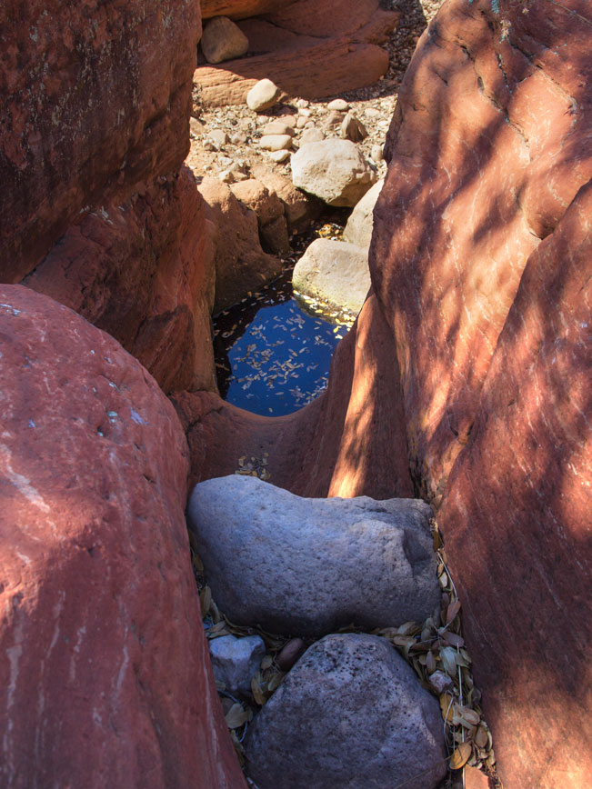 The trail kicks off alongside the rustic fence and vertical cliffs that frame Hancock Ranch. The path is treelined and easy, meandering alongside a seasonal creek. Small puddles dot the bed during dry months. While it is flush with water following summer monsoons.
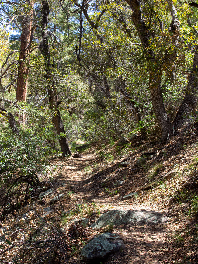 The 800′ elevation gain is almost imperceptible over the first four miles. Although the plants gradually shift from prickly pear and juniper to deciduous Ash and Oak.
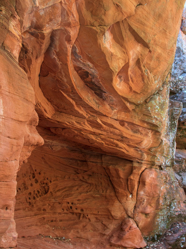 At intervals, water worn sandstone cliffs bump up against the trail. They offer shady spots to explore or take a breather.
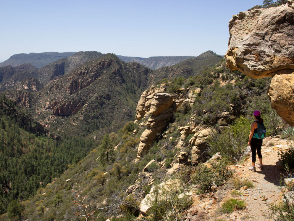
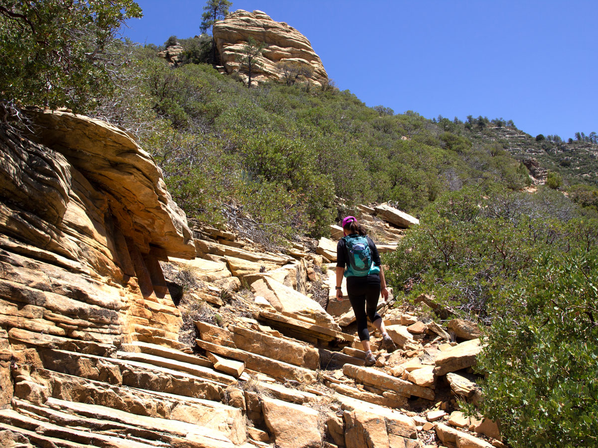 After four miles, the trail turns left onto the side of Loy Butte. From here it starts its dramatic mile-long ascent on a path of broken sandstone slab.
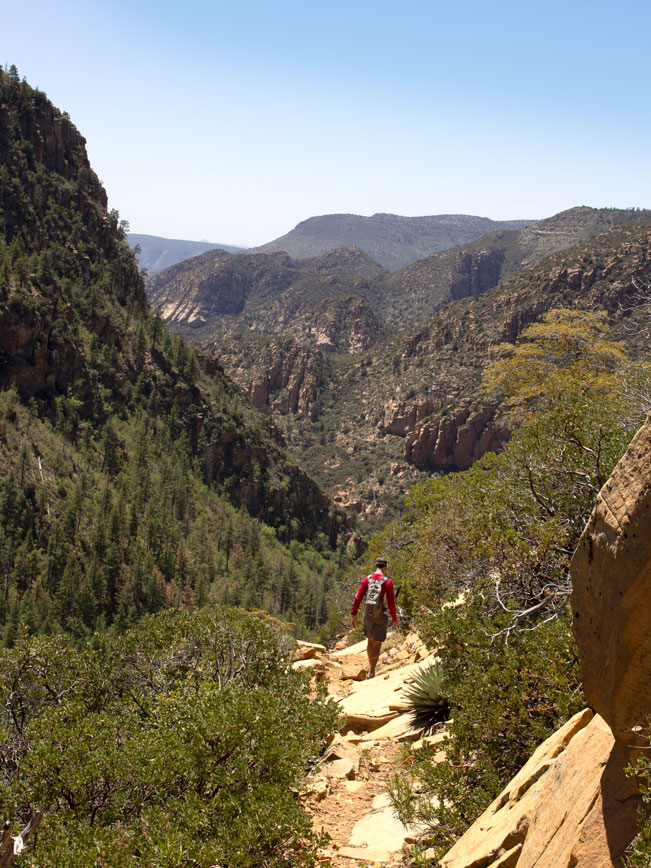 This grand finale leads to phenomenal views back over the canyon and whence you came!
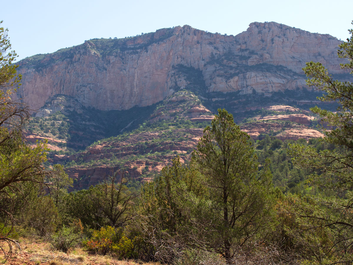
 The Loy Canyon Hiking Trail ends on a mesa top saddle. Outstanding north-south views stretch out beneath the shade of tall Ponderosas. A T-intersection with the Secret Mountain Trail offers the opportunity for further exploration within the Red-Rock Secret Mountain Wilderness. Or makes the perfect rest spot before heading back down to the Loy Canyon Trailhead.
Total Nerdery Samuel Loy created the Loy Canyon Trail in the 1880’s to move his family’s livestock to and from summer pastures on the canyon rim.
Resources Click here to download a trail map.
Directions From the intersection of 89A and 179 (in Sedona) head west on 89A for 9.65 miles to FR 525. Turn right / north onto dirt and gravel FR 525 and drive 3.21 miles to where it curves slightly left and becomes Loy Butte Road. Continue for 6.26 miles on Loy Butte Road / FR 525 to the Loy Canyon Hiking Trailhead. The trailhead is located just before the cattle guard into Hancock Ranch. A high clearance vehicle is recommended.
One Response to Loy Canyon Hiking Trail
Fantastic!!! thanks for sharing