★★★★★ Easy / Payson
This short hike, along the banks of two rivers, ends at a crisp, clear swimming hole. The Water Wheel Hiking Trail hopscotches two rivers on a rustic path. Along the way it passes dramatic waterfalls and deep gorges. The hike ends at a gushing cascade, that pours icy water into a deep natural pool.
TRAILHEAD: Houston Mesa Road, Payson • DIFFICULTY: Easy • DISTANCE: 1.6 MILES (3.2 miles RT) • APPROX. TIME: 1.5 -2 HOURS RT • ELEVATION GAIN: 150 FEET (11 STORIES) • APPROX. CALORIES BURNED: 416-480 RT • BEST TIME OF YEAR: March-October • PETS: YES • KID FRIENDLY: Yes please! • FACILITIES: Yes (but no water) • FEES: $9 parking fee (or annual National Parks Pass)
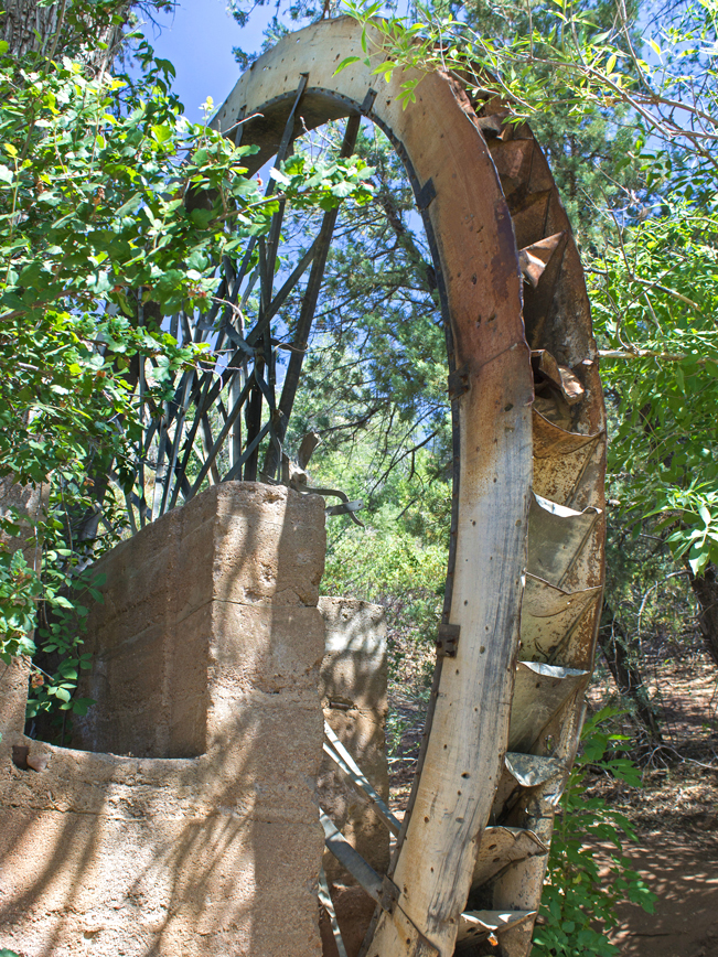 The Water Wheel Hiking Trail is obviously named for the ancient wheel that sits a short distance from the trailhead. Since this hike is family friendly, and sports an awesome swimming hole at the end, it’s often crowded in Summer.
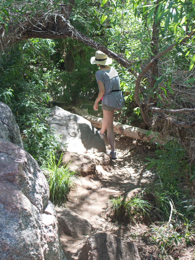 The trail kicks off from an ample parking lot off of Houston Mesa Road. Head upstream from the trailhead along the banks of the East Verde River. The first leg of the hike follows a well-worn, super-easy-to-follow path.
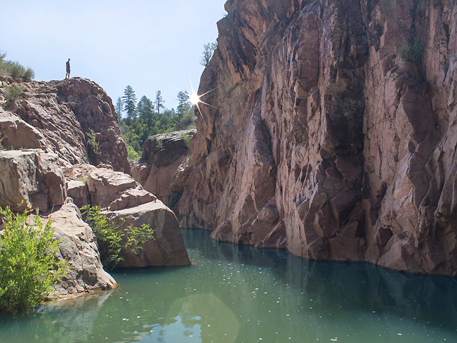 About a quarter-mile into the hike, a granite hill rises above the river. This short uphill section is the hardest part of the hike, with a modest ascent.
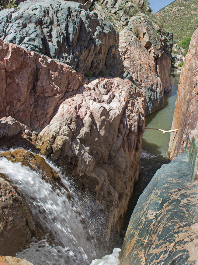 At the top of the hill a dramatic waterfall cascades to the river below. Years of flowing water have carved a deep gorge through the rock.
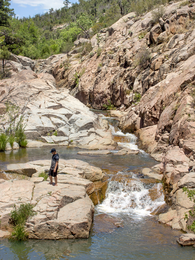 A few yards further on, the East Verde River meets Ellison Creek. This is a popular resting spot and a fun place to dip your toes in the water. To reach Ellison Falls, cross the East Verde River on the ample boulders and fallen logs.
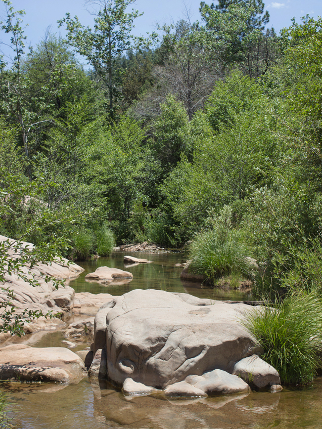 From here on out the trail is less defined. Continue right up the huge granite swaths at the base of Ellison Creek. Then follow the creek banks for one mile.
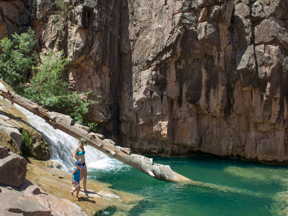
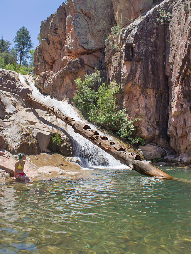 The hike ends at Ellison Falls. Here a long cascade rushes down a huge stone embankment. The deep natural pool at the base is crispy cold and perfect for a well deserved dip! Please remember to take your trash out with you to preserve this beautiful place!
Follow the 7 Leave No Trace Principles
Total Nerdery
The wheel, at the start of the Water Wheel Hiking Trail, was built in the early 1900’s by miner James Greer. It powered an ore crusher that extracted gold, when it was still found in the area.
Resources
Click here to download a map of the trail.
Directions From the intersection of 87 A and 260 (in Payson), take 260 north for 2 miles to Houston Mesa Road. Turn right / north on Houston Mesa Road and continue to 7.75 miles to the Water Wheel Hiking Trailhead, on the right side of the road.


10 Responses to Water Wheel Hiking Trail to Ellison Falls
We loved this hike! We went in November, so we didn’t really get to play in the water, but with the fall colors. Because it was cooler out there were less people which let us climb all over the rocks (or fall, if you are me!)
Nice! You might enjoy the Badger Springs Hiking Trail too then. Lots of fun rocks to climb on beside the creek.
I believe that this is where a family got caught in a flash flood and at least one of them drown. Please be mindful of thunder storms in the area when swimming.
Thank you for sharing. This was indeed the sight of a tragic flash flood a few years back. It is very important to keep aware of the weather – especially during the July and August Monsoon Season – as well as your surroundings. Flash floods can be kicked off by storms miles away and travel very quickly. Pay attention to unusual rumbles. And pre-consider high ground escape routes.
is this hike to the falls doable end of April? Will there be more/less water? Will the water be too cold?
This hike is doable year round. And the water is always very cold.
Is Houston Mesa Rd paved the whole way to the parking lot from AZ 260?
Yes it is paved.
Hi, what would I put on my GPS to lead me to the start of this hike. Im coming with 2 toddlers.
The trailhead GPScoordinates are 34.35123, – 111.28569