★★★☆☆ Moderate / Payson Area
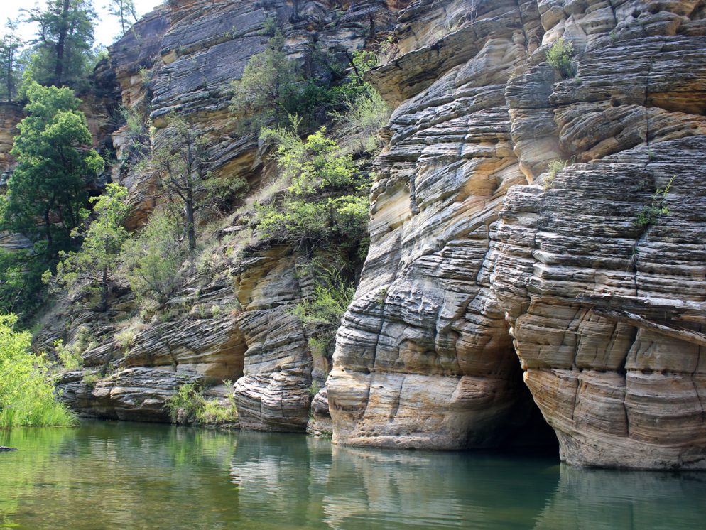
A string of crisp, clear swimming holes dot the creek at the base of the West Clear Creek Canyon. To reach these refreshing gems, the Maxwell Hiking Trail makes a short, steep descent from the rim down to a wild section of this stunning canyon.
TRAILHEAD: Foreset Road 81E, North of Strawberry • DIFFICULTY: Moderate (difficult in spots) • DISTANCE: 0.7 MILES (1.4 MILES RT) • APPROX. TIME: 1-1.5 HOURS RT • ELEVATION GAIN: -682 Feet (-49 stories) • APPROX. CALORIES BURNED: 240-265 • BEST TIME OF YEAR: May-October • PETS: YES • KID FRIENDLY: YES, 10 and up • FACILITIES: no • FEES: none
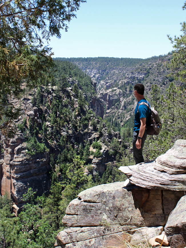 Tucked into the gorgeously rugged West Clear Creek Wilderness (smack-dab between Flagstaff and Strawberry) the Maxwell Hiking Trail starts at the top of a dramatically beautiful canyon. It quickly descends, on cascading switchbacks, to a pristine creek. You’ll need a high-clearance vehicle for the gnarly roads that lead to this trailhead!
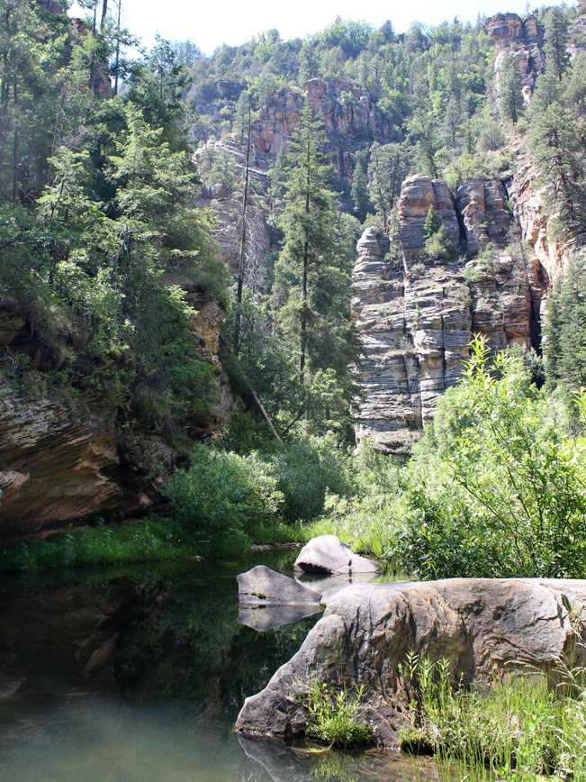 After only 0.7 miles, the super-short Maxwell Hiking Trail officially ends at the canyon base, along gently flowing West Clear Creek. This is where the fun really begins!
 Untamed West Clear Creek twists and turns for 20-miles through this narrow gorge and begs for exploration. Small pebbled beaches intermingle with sun-soaked boulders and reedy marshes.
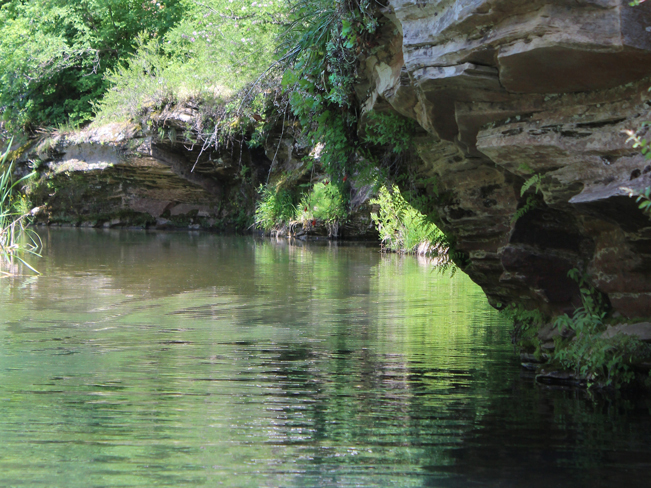 Water shoes, swimsuits and dry sacks are recommended. The creek’s depth varies by season and spot – ranging from wading perfect 2-feet deep to inner-tube and swimming perfect 5-feet. The water is clear and cool, with timid crayfish and minnows playing beneath reflections of clouds and cliffs.
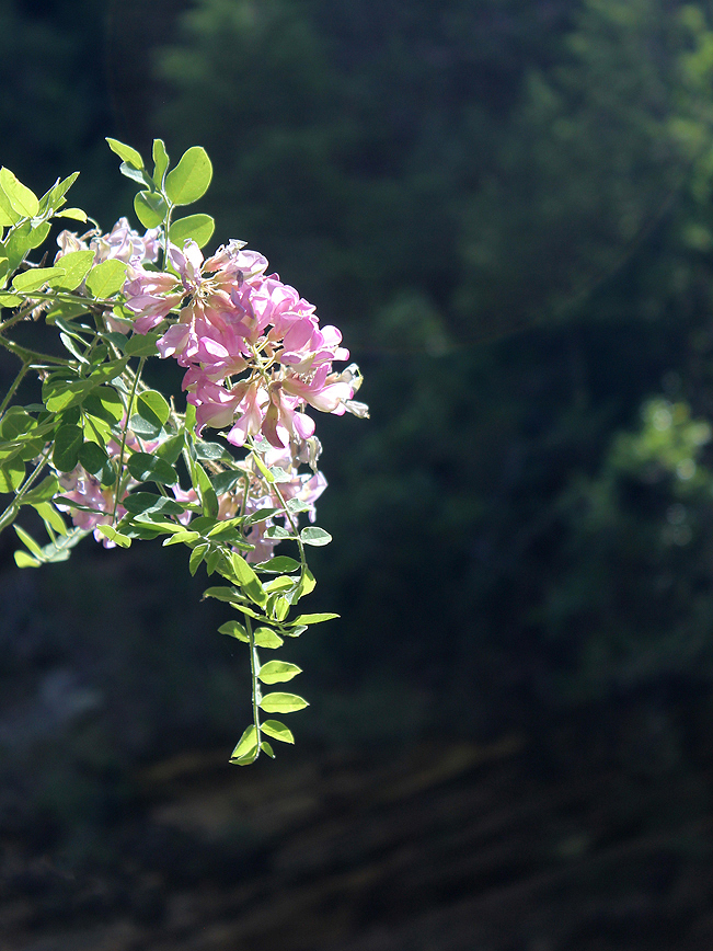 In Spring and Summer wild roses add color to the area. Turning right / west at the canyon base and hiking 1.5 miles along the creek leads to the intersection of the Tramway Hiking Trail. This trail leads back up the canyon and can be turned into a 5-mile loop hike with the Maxwell Trail (see trail map below).
Total Nerdery
West Clear Creek Wilderness’ measurements are kinda cool: 2-miles wide by 20-miles long by 1000′ feet high – making it one of the skinniest and most gorgeous primitive canyons in Arizona.
Resources
Click here to download a trail map.
Directions From the intersection of 87A and Lake Mary Road (north of Strawberry) turn north onto Lake Mary Road / Forest Highway 3 and drive for 7.5 miles to Forest Road 81. Turn left / west onto FR 81 and continue for 4.5 miles to the intersection of FR 81E. Turn right / west onto FR 81E and continue for two miles to the Maxwell trailhead at the end of the road. Note: FR 81 and 81E are pretty eroded. A high-clearance vehicle is recommended.


6 Responses to Maxwell Hiking Trail
We’ve hiked this trail several times as a family, and it’s absolutely beautiful. The creek at the bottom supports a ton of great lunch spots, and the water is totally refreshing.
100% agree. Really pretty to hang out near the creek.
Average height SUV (2012 Honda Pilot) okay?
A Honda Pilot should be OK if you take it slow. There are some pretty large, exposed rocks along the way.
Yeah, I wouldn’t take a passenger car down there all the way to the TH, but going slow and picking good lines will help. And DON’T try that road if it has rained much.
It’s a bumpy, rocky one for sure!