


★★★☆☆ Moderate / Prescott Area
Make a beeline to the top of the Bradshaw Mountains highest peak, on this shady, woodland trail. The Dandrea Hiking Trail cuts a straight path up the northern side of Mount Union. Near the top, a quick turn onto the Yankee Doodle Trail pays off with stunning southwards views over the Bradshaws and Peeples Valley.
TRAILHEAD: Poachers Row, potato patch • DIFFICULTY: Moderate • DISTANCE: 2.1 Miles (4.2 Miles rt) • APPROX. TIME: 2.5-3 HOURs • Starting Elevation: 6,665 • ELEVATION GAIN: 750 FEET (54 STORIES) • APPROX. CALORIES BURNED: 630-710 • BEST TIME OF YEAR: April-Oct. • PETS: yes • KID FRIENDLY: No • FACILITIES: None • FEES: none
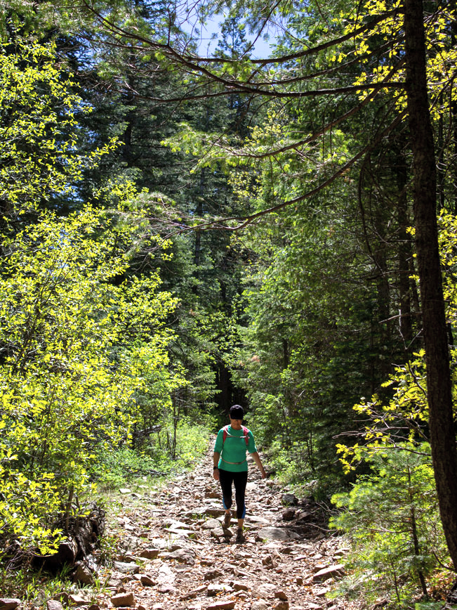 The Dandrea Hiking Trail makes an almost zip-line-straight ascent up the northern flank of Union Mountain. The trail is moderately steep and wonderfully forested with tall pines, firs and oaks.
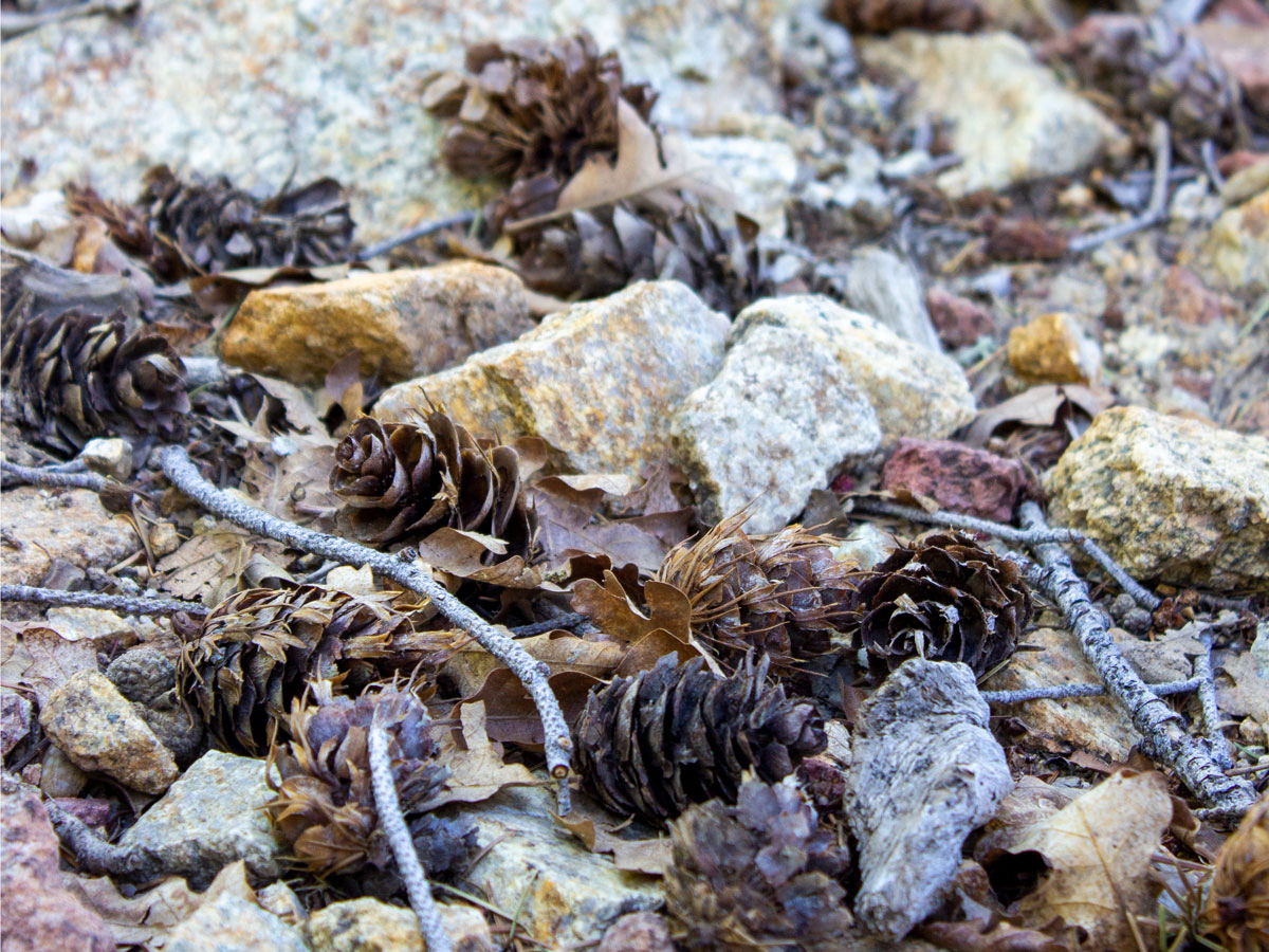 Its rock and pinecone pathway follows the side of a shallow, seasonally flowing, creek bed. Water gushes down this overgrown channel during spring snowmelt or after a heavy rain.
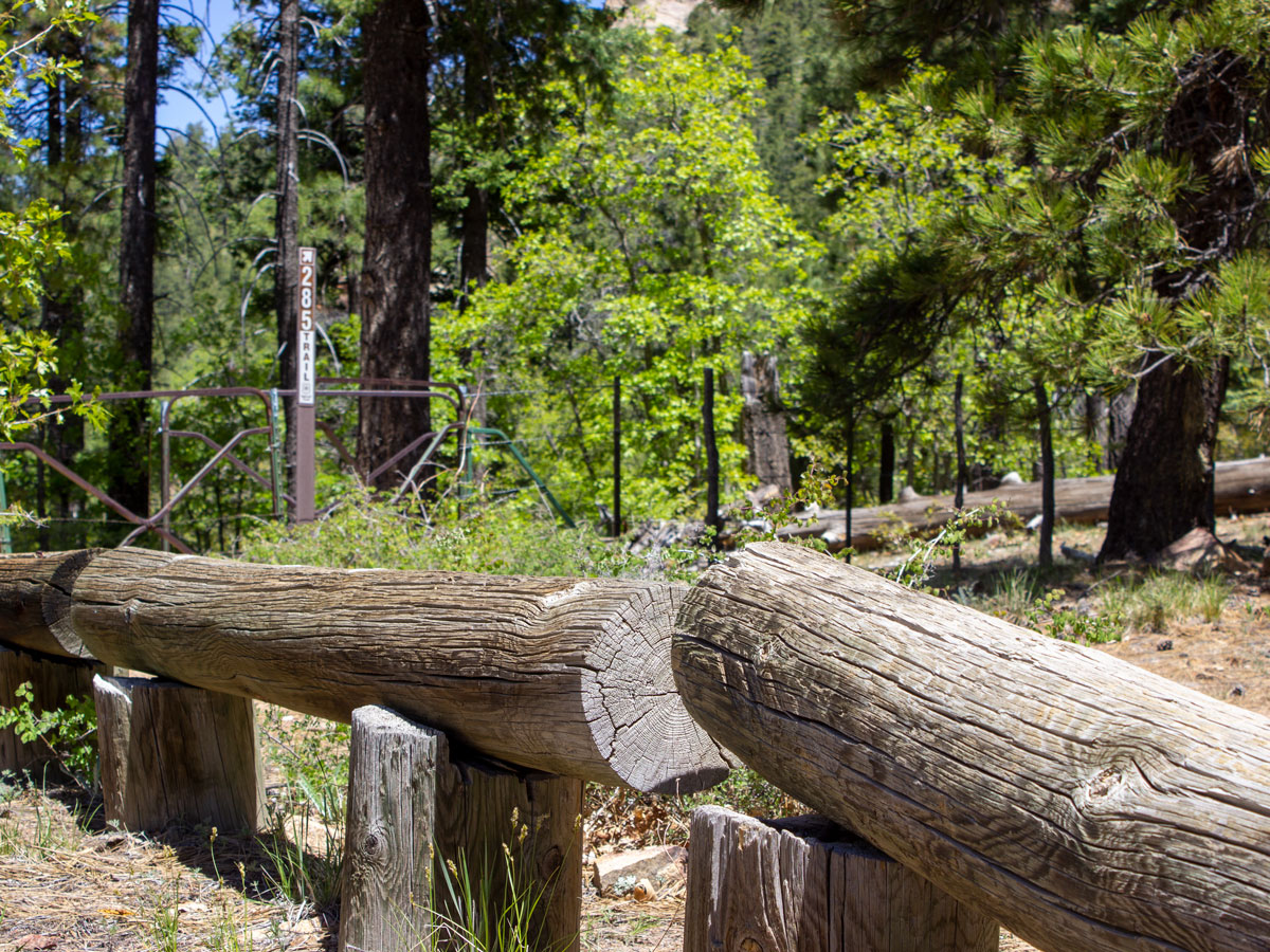 A mile into the hike, the Dandrea Hiking Trail begins a series of short, pretty switchbacks. At 1.75 miles it passes a metal gate and opens onto a small mountain pass. Here, a few rustic benches are perfect for taking a breather.
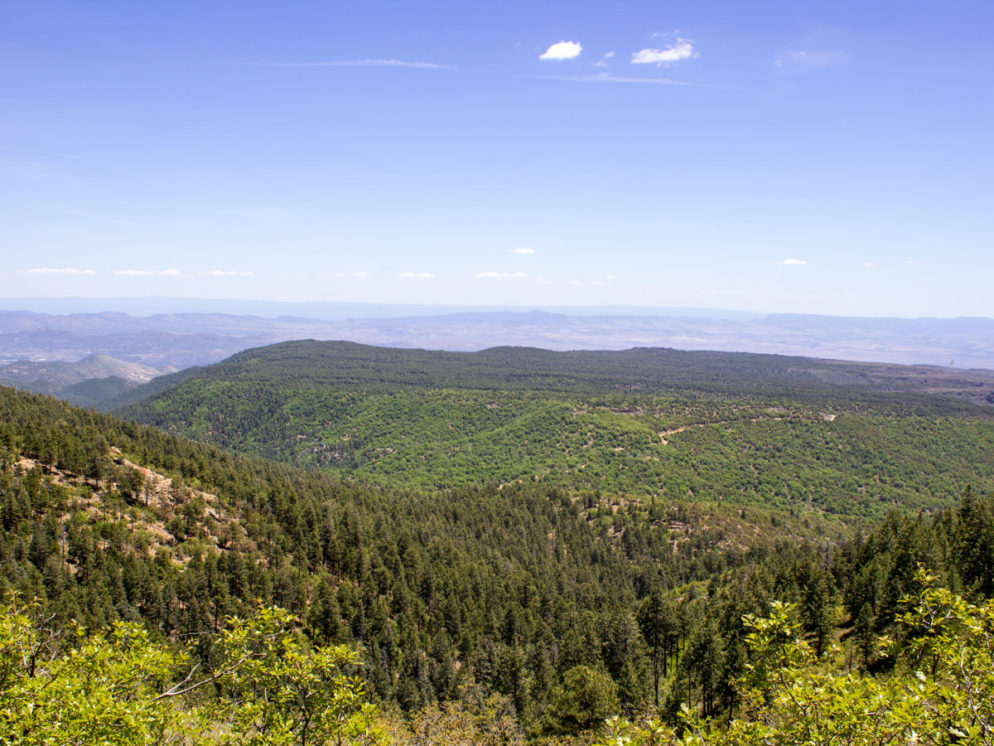
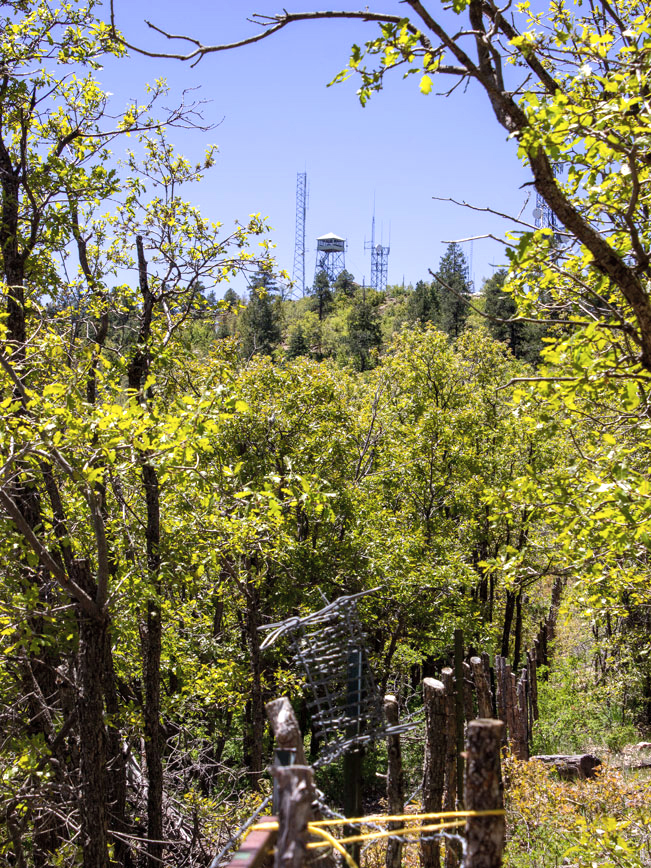 The Dandrea and Yankee Doodle Trails intersect in a perfect X at this pass. Turn right onto the Yankee Doodle to reach the top of Mount Union. This short leg is a bit more exposed, opening onto beautiful southwards views over the range. And Mount Union’s fire tower is visible on the peak directly ahead.
 Long strands of Gamble Oak catch the sun along this stretch of the Yankee Doodle Hiking Trail.
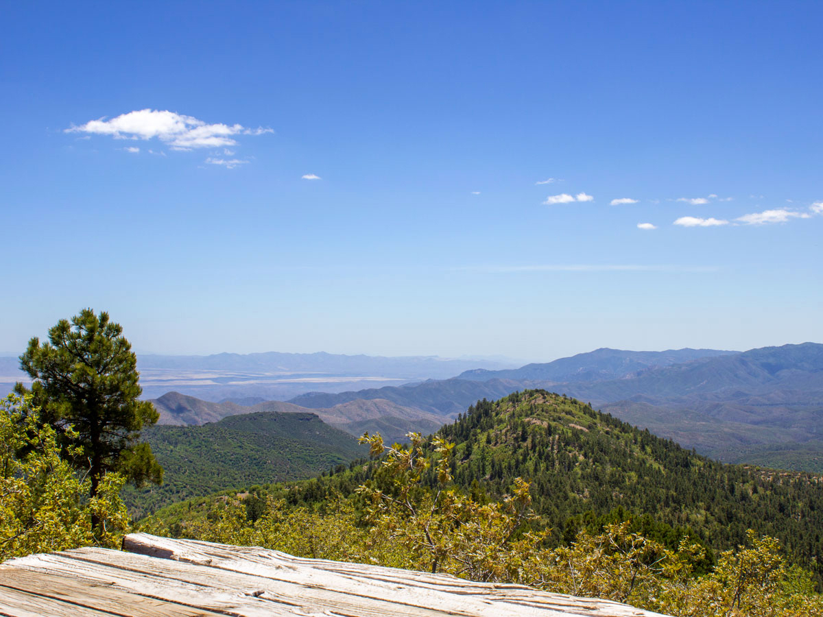 The hike briefly follows the fire tower access road as it nears the finish. A large platform sits on the far side of the watchtower, where it serves up awesome 360° views from this almost 8,000′ summit. Note: Hiking poles are recommended for the hike back down the mountain.The trail’s loose rock surface can get pretty rolly-polly underfoot.
Total Nerdery Mount Union is the highest peak in the Bradshaw Range, at an elevation of 7,979′. feet. It was name during the Civil War.
Resources Click here to download a trail map.
Directions From the intersection of AZ 69 and Walker Road (east of Prescott), head south on Walker Road for 10.4 miles to Poachers Row (in the town of Potato Patch). Turn left onto Poacher Row and continue 0.25 miles to the parking area alongside a small park on the left side of the road. The trailhead is at the end of the Poachers Row. But there is no parking there.
Leave a Reply