


★★★★☆ Moderate / Phoenix Area:
Soak in epic water views and lakefront breezes from the top of Lake Pleasant’s Yavapai Point Hiking Trail. It’s easy to forget that Phoenix is only a few miles away, as picture perfect views of sailboats wafting across the lake spread out below this scenic trail.
TRAILHEAD: cottonwood lane, lake pleasant • DIFFICULTY: Moderate • DISTANCE: 1.5 MILES EACH WAY (3 miles rt) • APPROX. TIME: 1.5-2.5 HOURS • ELEVATION GAIN: 400 (29 stories) • APPROX. CALORIES BURNED: 450-510 rt • BEST TIME OF YEAR: october – may • PETS: YES • KID FRIENDLY: 10 AND UP • FACILITIES: YES • FEES: $7 day use (or $85 annual maricopa parks pass)
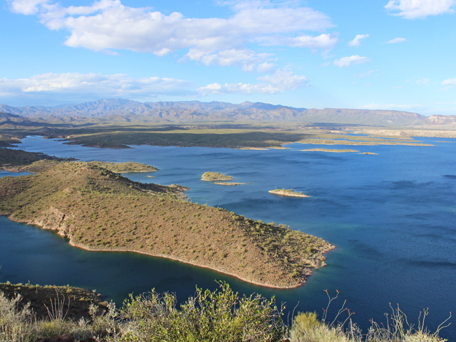
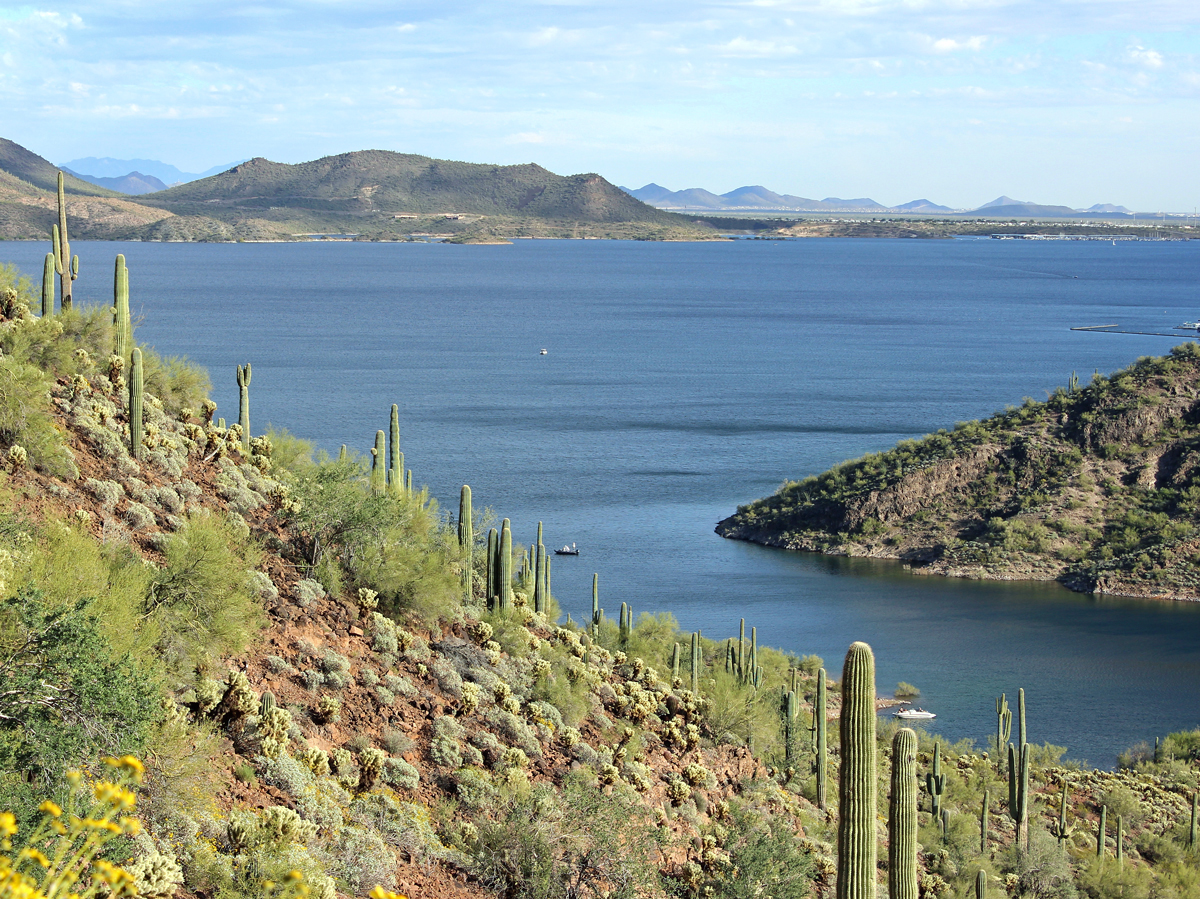 Of the many fun hiking trails in Lake Pleasant Park, the Yavapai Point Hiking Trail offers the most radical 360° views of the lake, its many coves and the surrounding mountains. The hike to the top gets better with every step, as the views become progressively richer and deeper.
 To get to the Yavapai Point Hiking Trail, start at the Pipeline Canyon Trailhead in the Cottonwood Picnic Area. The juncture with the Yavapai Point Trail is a few yards along and clearly marked. From this intersection, the Yavapai Point Hiking Trail starts its zig-zag ascent up the side of a hill, on ample switchbacks.
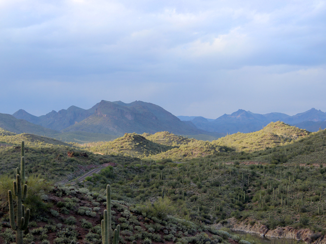 Views backwards over intimate coves and the mountains framing the lake are pretty incredible, especially as the light and clouds create shadow play across their surfaces.
 From the summit of Yavapai Point the views (and sometimes the breezes) are phenomenal! Panoramas open all the way to the Bradshaw Mountains in the north, the McDowells to the east and over the Phoenix skyline to the south.
 Listen for the tinny sound of wind whistling through the Saguaro needles as you head back down. If you’re up for further exploration, turn left at the Pipeline Canyon Hiking Trail and head down to the floating bridge.
Total Nerdery
Yavapai Point Hiking Trail is pretty brand spanking new. It was added to Lake Pleasant Regional Park’s trail system in late 2014. Thanks Maricopa!
Resources
Click here to download a trail map.
Directions From the intersection of I-17 and AZ-74 / Carefree Highway, (north of Phoenix), turn west / left onto Carefree Highway and drive for 11.26 miles to Castle Hot Springs Road. Turn north / right onto Castle Hot Springs Road and continue for 5.94 miles (past the entry gate to the lake) to Cottonwood Road. Turn south / right onto Cottonwood Road and drive for a quarter mile to the end, and the trailhead to the Pipeline Canyon Hiking Trail.
Leave a Reply