★★★★☆ Easy / North of Phoenix:
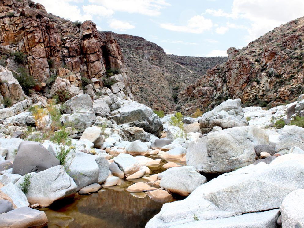
Have a blast exploring hieroglyphs and a trove of creekside boulders on this family friendly hike. Badger Springs Hiking Trail follows a short, sandy ravine to a bend in the Aqua Fria River. Here shimmering pools of water and an endless jumble of boulders are tons of fun to explore.
TRAILHEAD: Aqua Fria National Monument, east of Bumblebee, AZ • GPS: 34°13’53.2″N 112°06’00.4″W • DIFFICULTY: easy • DISTANCE: 0.8 MILES (1.6 miles round trip) • APPROX. TIME: 1-2 HOURS • ELEVATION GAIN: Minimal • APPROX. CALORIES BURNED: 210-250 • BEST TIME OF YEAR: october-may • PETS: yes • KID FRIENDLY: VERY • FACILITIES: YES (No water) • FEES: NONE
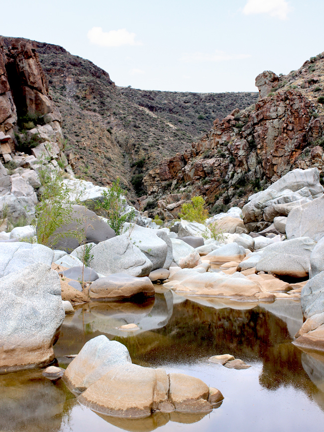 Have you’ve ever wondered what lies at the base of all of those cool mesas just north of Sunset Peak? Well, this is where the Aqua Fria River flows. Over the centuries, snow melts and monsoons have carved a rugged pathway through these plains. And the Badger Springs Hiking Trail provides easy access to this unique, boulder strewn landscape.
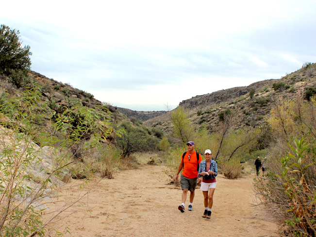 From the trailhead, the Badger Springs Hiking Trail follows a short, sandy ravine to a bend in the Aqua Fria River. The going is easy on a mostly wide, flat trail.
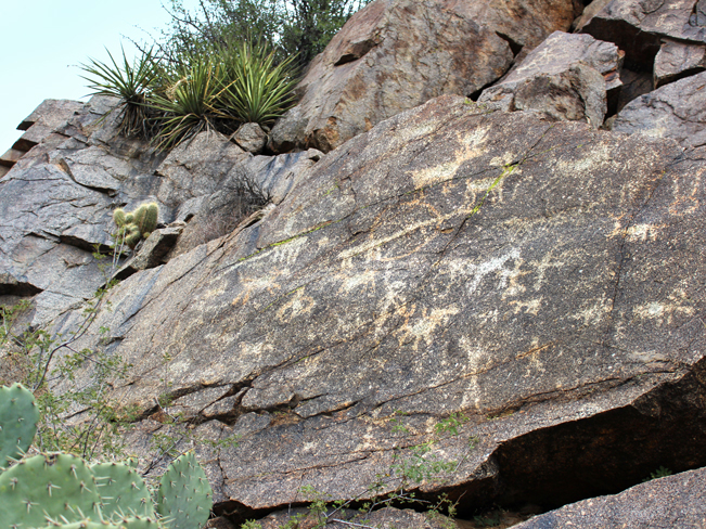 Just before the intersection with the river, a high canyon wall is carved with ancient Native American hieroglyphs. Deers and hunters show in clear contrast to the dark stone. Definitely worth a stop!
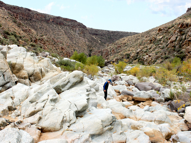 The Badger Springs Hiking Trail ends at the river’s edge. However…it’s easy to follow the riverbed in either direction for extra fun. Huge, white boulders are a blast to explore. Plus shimmering pools of water offer the chance to search for crayfish or dip your toes.
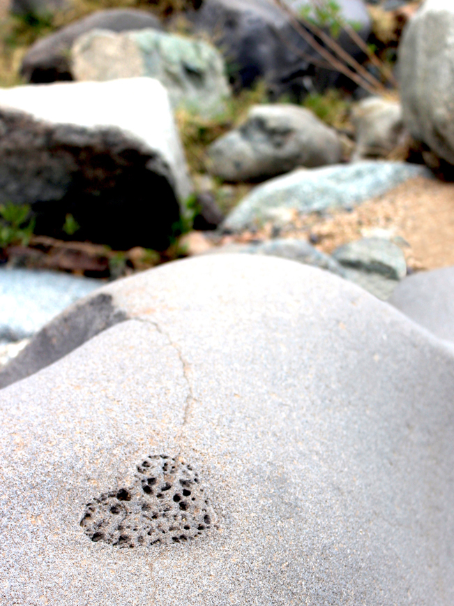
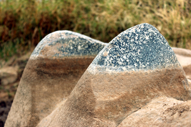 Let your imagination run wild as you boulder hop! Crazy shapes, like “shark fins,” “hearts” and others, have been sculpted by the water. You can find these sprinkled throughout the rocks.
 Total Nerdery: Aqua Fria National Monument was created in 2,000. It protects over 72,000 acres of land and over 450 Native American sites.
Directions: From the northern intersection of AZ-101 and I-17 (in Phoenix), head north on I-17 for 41.2 miles to exit 256 / Badger Springs. Turn right onto the dirt and gravel road. Continue for a little under one mile to the Badger Springs Hiking Trailhead. A high clearance vehicle is not necessary, but expect some ruts.


2 Responses to Badger Springs Hiking Trail
one of my favorite places to hike and take reference photos for my painting. I would recommend this hike for everyone, it is awesome.
Wow. A painting of this area would be gorgeous! We definitely enjoyed the rocky landscape, pools of water surrounded by high mesas. A thoroughly enjoyable hike!