★★★☆☆ Easy / Phoenix
This mostly easy trail meanders up a pretty valley, to a mountain top lookout. At just over a mile-long, South Mountain Park’s Kiwanis Hiking Trail is perfect for a day out with family. Near the top, Telegraph Pass Lookout offers awesome north-south views!
TRAILHEADs: Piedras grandes drive, south mtn. park • DIFFICULTY: mostly easy (with moderate spots) • DISTANCE: 1.25 MILEs (2.5 miles rt) • APPROX. TIME: 1.5-2 HOURS • ELEVATION GAIN: 700 FEET (50 STORIES) • APPROX. CALORIES BURNED: 325-375 RT • BEST TIME OF YEAR: October-April • PETS: YES • KID FRIENDLY: yes • FACILITIES: YES (no water) • FEES: none
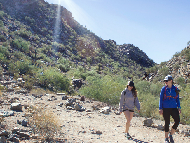 The Kiwanis Hiking Trail starts at the base of a mile-long scenic South Mountain valley. From the trailhead a wide pathway curves into the mountains between boulder and Saguaro lined hills.
 The trail ascends mildly. It meanders up the valley on a series of long easy stretches, interspersed with short moderate knolls.
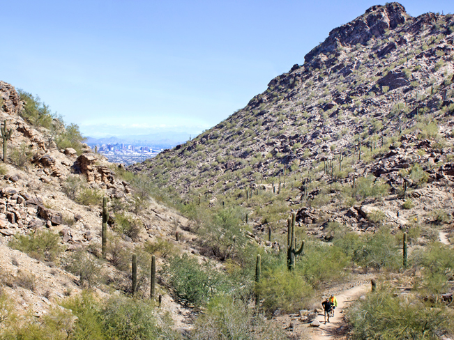 About halfway up the Kiwanis Hiking Trail, the backwards views are fantastic! Do a 180, and you’ll catch long views over downtown Phoenix.
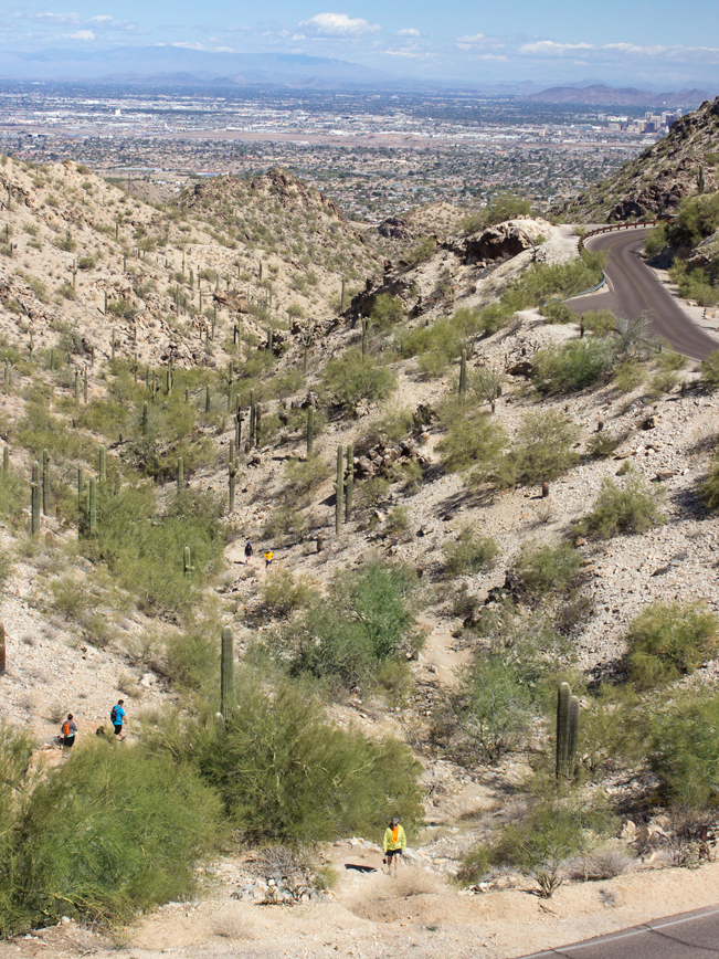 After one mile, the Kiwanis Hiking Trail officially ends at Telegraph Pass Road. But don’t stop here!
Past Kiwanis Trail to Telegraph Lookout
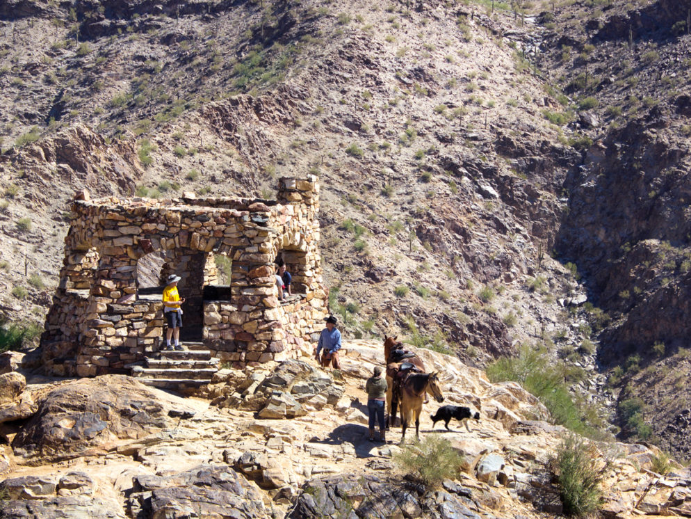
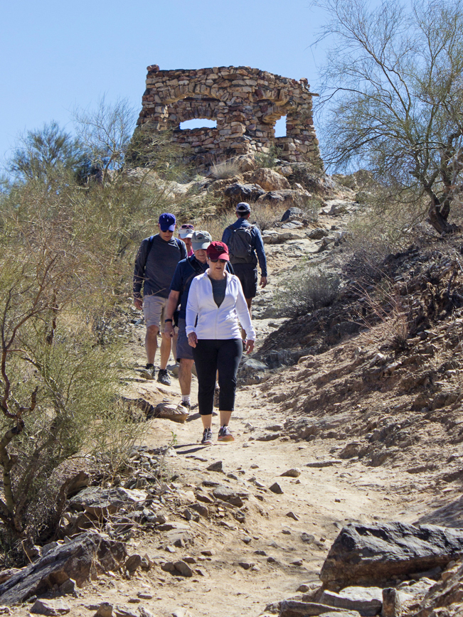 Right across the street is the moderate National Hiking Trail. And a short quarter-mile further is Telegraph Pass Lookout! This only-accessible-by-foot lookout is a lot less crowded than Dobbins, and a worthwhile add-on.
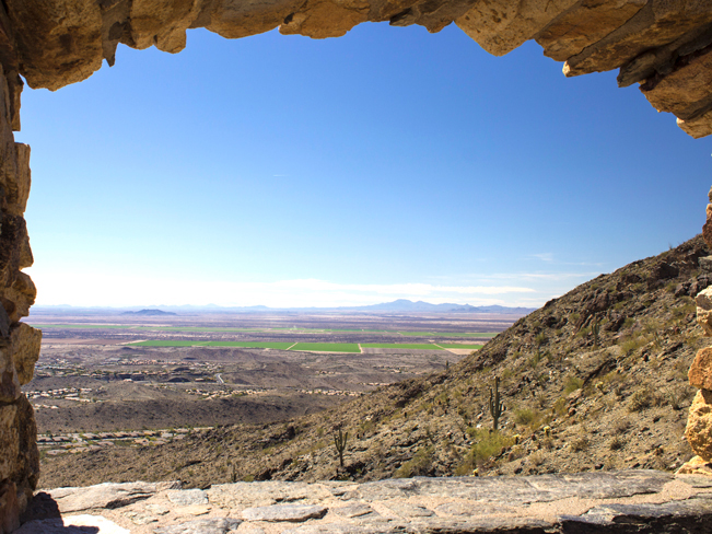
You’ll be glad made this short hike. The views from Telegraph Pass Lookout are completely drool-worthy! To the north, downtown Phoenix glistens below. While to the south, hundred-mile views roll out over the fields of Maricopa. On a clear day you can see all the way to Tucson’s Santa Catalina Mountains. Turn around here, to head back to the Kiwanis Trailhead.
Total Nerdery
In 1925, 70 members of the Kiwanis Club built this trail in 6 hours! Half the crew started building from the top. And the other half from the bottom. At 2:00 they met in the middle and, ta da, trail was complete!
Resources
Click here to download a trail map
Directions Take Interstate Truck Route I-10 (in South Phoenix) to 16th Street / exit 195A. Turn south on 16th Street and drive 4.4 miles to Dobbins Road. Head right / west onto Dobbins Road and drive 1.4 miles to Central Ave. Turn left / south on Central Ave. and continue for 1.5 miles into the park. Turn left on Las Lomitas Drive (the second left, after the main gate). Then turn left again on Las Piedras Grande Drive. The well marked trailhead at the center of this loop.


Leave a Reply