


★★★☆☆ Easy / Phoenix Area
Escape Phoenix’s northern ‘burbs on this family-friendly loop hike! The Ocotillo, Apache Wash, Sidewinder Loop Hike blends together short, easy portions of three Phoenix Sonoran Preserve hiking trails. The result is an easy meander through broad fields of Saguaro and Sage. As an added bonus, expect to see hot air balloons floating overhead during mornings and late afternoons, October through April.
TRAILHEAD: 1600 East Sonoran Desert Drive, Phoenix • DIFFICULTY: EASY • DISTANCE: 1.95 MILE LOOP • APPROX. TIME: 1 – 1.5 HOURS • ELEVATION GAIN: 280 FEET (20 STORIES) • APPROX. CALORIES BURNED: 254-295 • BEST TIME OF YEAR: OCT. – April • PETS: YES • KID FRIENDLY: yes • FACILITIES: YES but no water • FEES: none
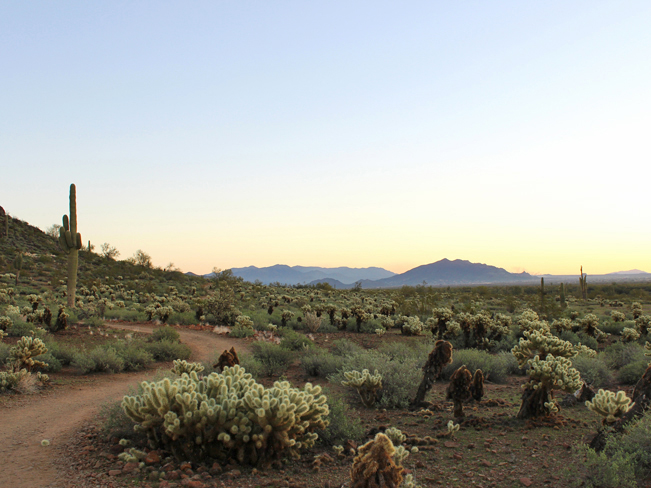 The Phoenix Sonoran Preserve’s 20 interconnecting trails offer a mind-boggling array of possible hiking mash-ups. The Ocotillo, Apache Wash, Sidewinder combo is one of the easiest. This well-marked loop is family-perfect. It’s described here moving clockwise from the Apache Wash Trailhead, although it can be hiked in either direction. Turn left onto the Ocotillo Trail to start. This wide, flat path meanders around the base of the preserve’s easternmost hill, through iconic Sonoran landscape.
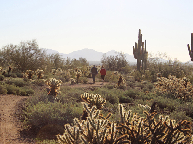 After 0.35 miles turn right onto the Apache Wash Trail, which continues around the base of the hill. This section is also wide and flat. It’s surrounded by tall Saguaros and Cholla. And it serves up lovely northward views of the area mountains.
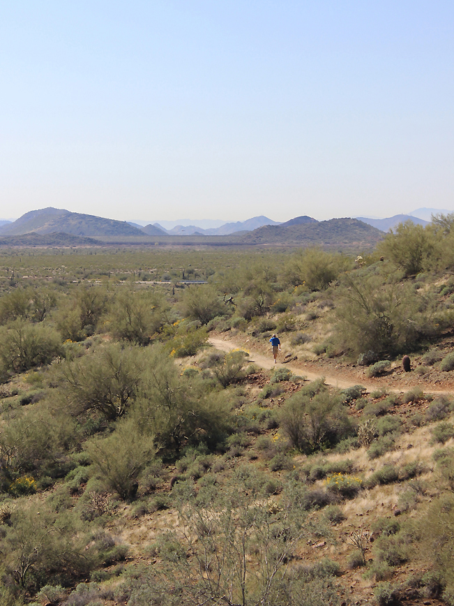 The Sidewinder trail veers off to the right 0.75 miles into the hike. Turn here for the final leg of the loop. This section ascends mildly, hugging the side of the hill. For those with the energy, an optional, short side trail leads to wonderful 360° views from Apache Vista. The Sidewinder Trail continues looping around the hill, making a gentle descent back to the trailhead.
 Bonus! During mornings and evenings, October through April, it’s cool to watch the hot air balloons floating nearby. The flat desert surrounding the preserve is a popular launch site.
Total Nerdery
The Phoenix Sonoran Preserve is made up of two neighboring sets of hills, separated by private land. The northern portion flanks Sonoran Desert Drive. While the southern portion is accessed through the Fireside Development.
Resources Click here to download a trail map
Directions: From the intersection of I-17 and the northern loop of AZ-101 (in Phoenix) head north on I-17 for 7 miles to Dove Valley Road / exit 222. Turn right / east onto Dove Valley Road (which becomes Sonoran Desert Drive) and drive for 5.5 miles to the Apache Wash Trailhead Parking lot, on the left side.
Leave a Reply