


★★★★☆ Easy / Phoenix Area:
Spectacular Southwestern scenery is a prime perk on this easy, level, loop hike! Circling the desert floor, between the breathtaking Malpais and Goldmine Mountains, the San Tan Hiking Trail Loop is predominantly-flat. It requires minimal up & down hiking. But pays off big with 100-mile views!
TRAILHEAD: 6533 West Phillips ROAD, queen creek • DIFFICULTY: easy • DISTANCE: 7.5 mile Loop (with shorter 5.5 mile option available) • APPROX. TIME: 4-5 HOURS • ELEVATION GAIN: 234 FEET (17 STORIES) • APPROX. CALORIES BURNED: 975- 1,125 • BEST TIME OF YEAR: OCT. – APRIL • PETS: Definitely! • KID FRIENDLY: yes (but longish) • FACILITIES: yes • FEES: $7 day use (or Annual Maricopa Parks Pass)
 As easy loop hikes go, the San Tan Hiking Trail, is pretty dang spectacular! Circling the dessert floor, between the Malpais and Goldmine Mountains, this predominantly-level trail offers phenomenal Southwestern views!
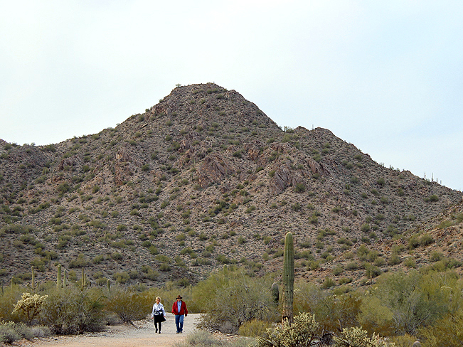 Located about 30-miles SE of Phoenix, San Tan Regional Park is popular. On weekends, families and dog-lovers take advantage of the park’s numerous trails. Of these, the San Tan Hiking Trail Loop is one of the most breathtaking! Surprisingly, it gets minimal traffic. The trail starts off heading south. From the get-go it’s surrounded by gorgeous desert, backed by rugged, red mountains – only a prelude to the spectacular scenery to come.
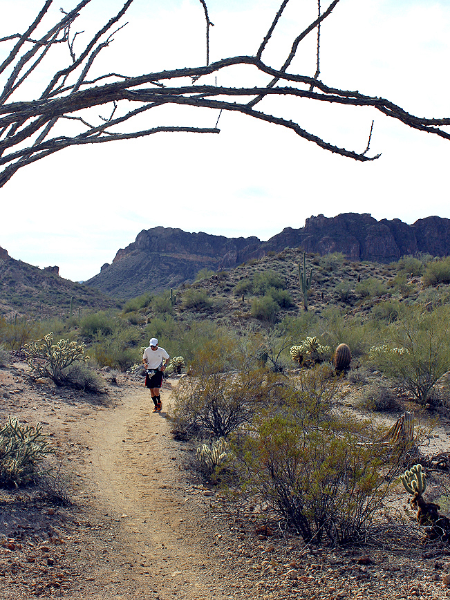 Wait for it … at the 2-mile mark (where the trail veers right and descends a small hill) the views suddenly switch from lovely to “Wow!” Straight ahead the pock-marked crest of Rock Peak looms large, with the dramatic cliffs of the Malpais Range directly behind.
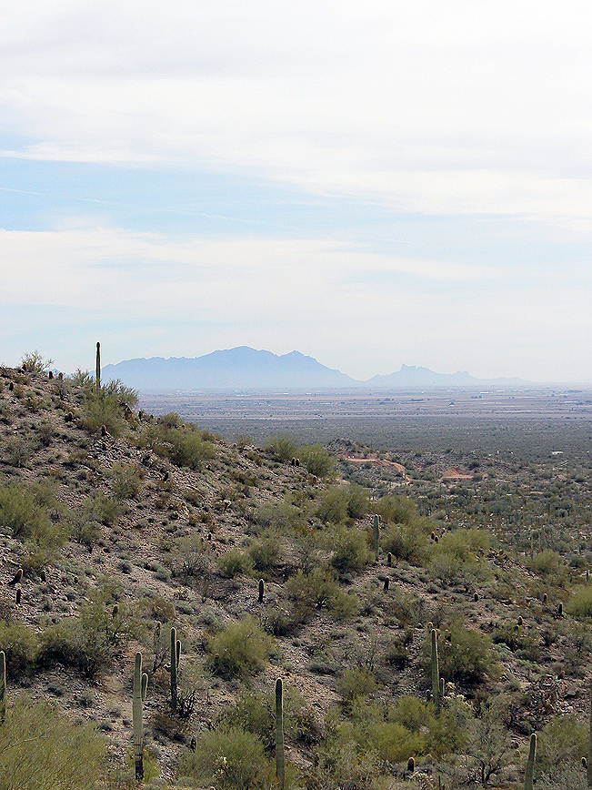 To the left, views across desert and farmland stretch for hundreds-of-miles to Picacho Peak and beyond. Totally stunning!
 The San Tan Hiking Trail Loop skirts the side of the Malpais Range for the next half-mile. It then veers right and heads north towards Goldmine Mountain. For those wanting a shorter, 5.5-mile hike, turn right onto the Hedgehog trail (see downloadable map below). To complete the full, 7.5 mile loop, continue on the San Tan Hiking Trail.
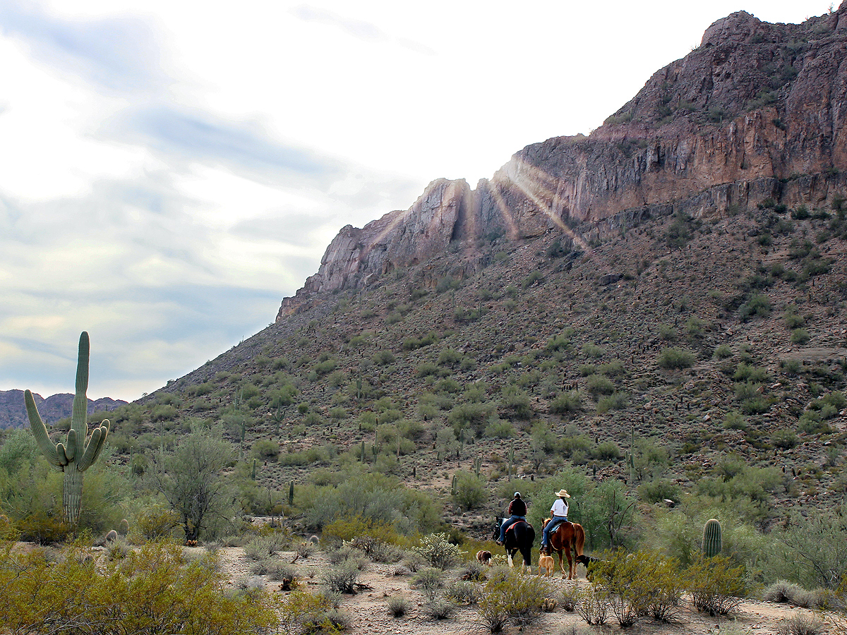
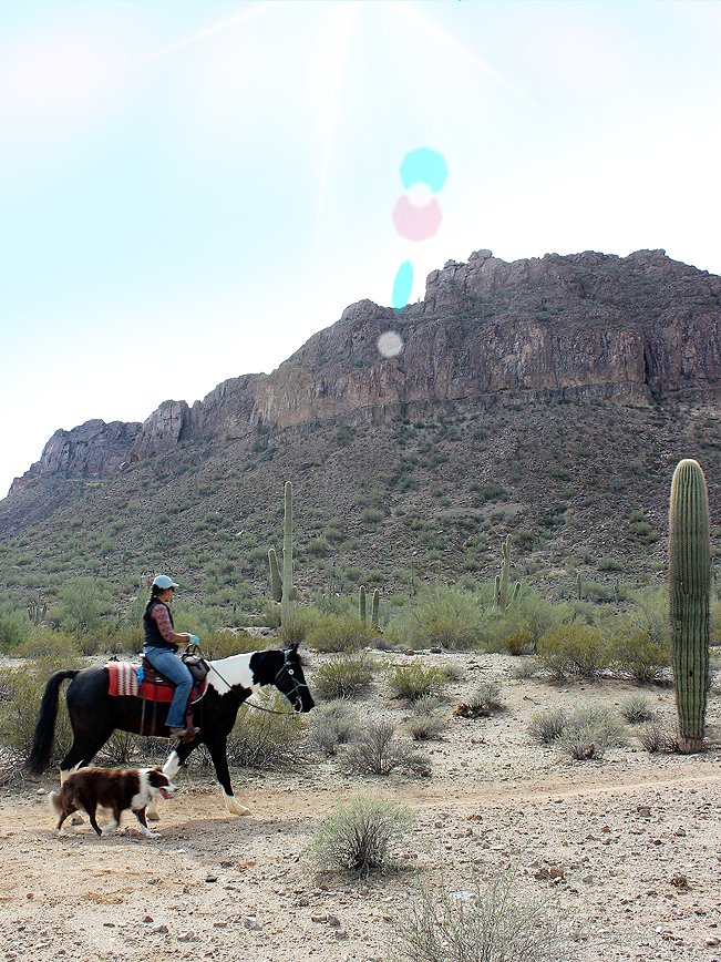
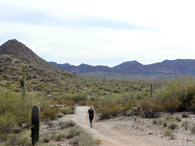 As a shared use trail, expect to pass an occasional horseback rider, trail runner or mountain biker enjoying the quiet ease of this spectacularly scenic trail. The San Tan Hiking Trail Loop ends at the base of Goldmine Mountain. Turn right onto Goldmine Trail to complete the loop back to the trailhead (see downloadable map below for details).
Total Nerdery
San Tan Regional Park’s incredible beauty is heightened by its location, right next to the pristine San Tan Mountains on Gila River Indian Community lands.
Resources
Click here to download a trail map.
Directions From the intersection of AZ-101 West and AZ-60 (in Mesa) head east on AZ-60, towards Globe, for 14.3 miles. Take exit 190B onto AZ-202 South and drive 3.5 miles to exit 34A / AZ-24 East. Drive for 2.07 miles to the T-intersection with Ellsworth Road. Turn right / south on Ellsworth Road, and continue for 6.93 miles. Veer left / east onto Hunt Highway. Take Hunt Highway for 1.28 miles to North Thompson Road. Turn right /south onto North Thompson Road and continue 2.14 miles to West Phillips Road. Turn right / west onto West Phillips road and continue for 1 mile to the entrance of San Tan Regional Park. The trailhead is directly in front of the parking lot.
Leave a Reply