


★★★★☆ Moderate / Tucson Area
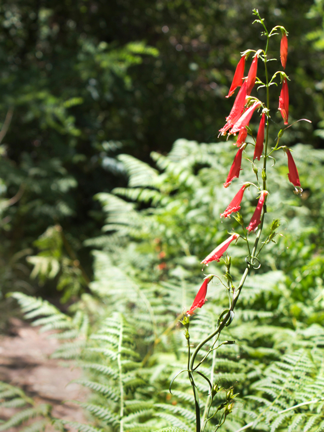
Escape Summer’s heat on this pretty “down then up” trail near Mount Lemmon. Starting at a cool 7,550′ elevation, the Butterfly Hiking Trail gently descends Butterfly Mountain, then heads up the side of Mount Bigelow. Along the way, butterflies, wildflowers, a seasonal waterfall and an old plane wreck make this trail extra fun to explore.
TRAILHEAD: Mount Lemmon Highway, east of Tucson • DIFFICULTY: Moderate • DISTANCE: 5.6 MILEs (11.2 miles RT) • APPROX. TIME: 5.5 – 6.5 HOURS RT • ELEVATION GAIN: 3,600 FEET (257 STORIES) • APPROX. CALORIES BURNED: 1,600-1,835 • BEST TIME OF YEAR: May – october • PETS: YES WITH LEASHES • KID FRIENDLY: Yes (first 1.5 miles) • FACILITIES: YES (but no water) • FEES: $8 Coronado Recreational day pass (or $85 annual national parks pass)
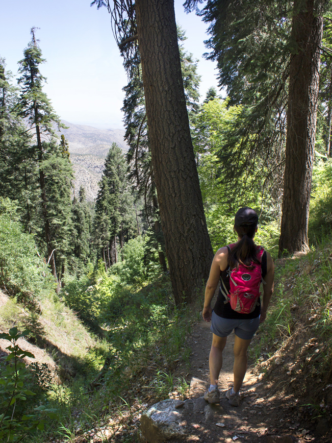 The Butterfly Hiking Trail is a fantastic escape from the desert heat. It can be hiked from either its northern trailhead at Soldier Camp, or southern trailhead by Palisades Ranger Station. Either way, the hike heads downhill first, then climbs to its further trailhead. If the 11.2 mile round trip is too much, hiking in just a few miles is totally goal worthy! From the northern trailhead, the hike makes a gentle descent down Butterfly Mountain.
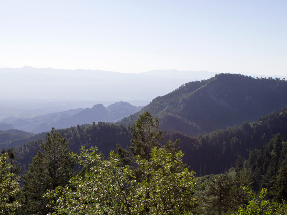
 A little less than one mile from the northern trailhead, a wide break in the trees offers endlessly views over the eastern Catalinas.
 After passing the Crystal Springs Hiking Trail, at 1.4 miles, the Butterfly Hiking Trail continues downhill. Tall trees and thick fern gullies line the path for the next two miles. At 2.3 miles, the trail reaches its lowest point, at Novio Falls. This seasonal fall passes through a rocky gully and is usually active in Spring. Although we missed it, a side trail just beyond Novio Falls, leads to the wreckage of an old plane crash.
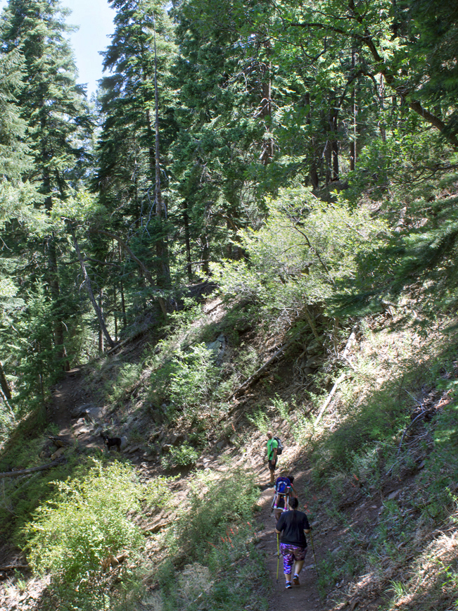 From Novio Falls onwards, the Butterfly Hiking Trail slowly climbs the side of Mount Bigelow. The hike passes the Davis Spring Trail at 3 miles, then the Bigelow and Kellogg Trails at 5 miles. A little further on, the trail reaches its highest point of 8,500′ near the top of Mount Bigelow.
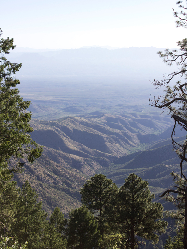
 Portions of the southern end of the Butterfly Hiking Trail were burned in the 2017 Burro Fire. So expect more intense sun exposure here. As a bonus, the abundant Mica, found all along the Butterfly Hiking Trail, shimmers like a disco ball in the bright sun. Plus, the views are sweet.
Total Nerdery The Butterfly Hiking Trail sits on the edge of Butterfly Peak Natural Area – a research area set aside for its vast biodiversity.
Resources Click here to download a trail map (courtesy of HikeLemmon.com!).
Directions From the intersection of I-10 and and Grant Road, drive east on Grant Road for 8.4 miles to the intersection of Tanque Verde Road. Turn left . north on Tanque Verde Road and continue for 3.2 miles to Catalina Highway. Drive 4.5 miles to the Forest boundary, where Catalina Highway becomes Mount Lemmon Highway, then continue 22.5 miles to the Butterfly Trailhead parking area, on the right side of the road. You can also access the Butterfly Hiking Trail across from the Palisades Visitor Center.
Leave a Reply