★★★☆☆ Easy / Payson Area
Explore a babbling creek and gushing springs on this shady, family-friendly hike. The See Spring Hiking trail criss-crosses lush Christopher Creek and leads to one of its sources – a series of cascading springs on the base of the Mogollon Rim.
TRAILHEAD: Forest Road 284, Christopher Creek • DIFFICULTY: easy • DISTANCE: 1.5 MILES (3 miles RT) • APPROX. TIME: 1.5 – 2 HOURS rt • ELEVATION GAIN: minimal • APPROX. CALORIES BURNED: 390 – 450 rt • BEST TIME OF YEAR: april- Oct. • PETS: YES • KID FRIENDLY: Yes please! • FACILITIES: YES. no water • FEES: None
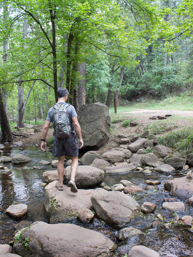 Grab the kids and go – on this easy, pretty hike to a hidden spring. The See Spring Hiking Trail shares both trailhead and first 3/4-mile with See Canyon Hiking Trail. Both kick off along the banks of babbling Christopher Creek.
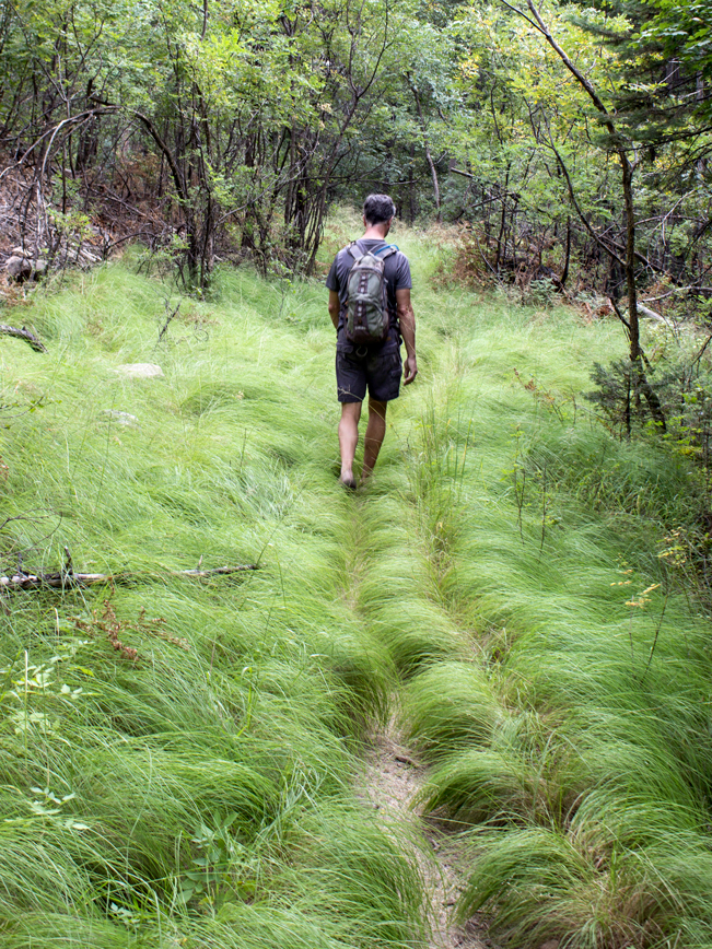 After crossing the creek, on ample boulders, the trail heads north towards the Mogollon Rim. The next half-mile passes through grassy stretches and dry arroyos, before bumping into the creek again.
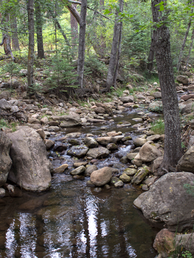 About 3/4-mile into the hike, a signpost points right for the See Springs Hiking Trail. Turn here to reach the springs. The remainder of the hike follows alongside a branch of Christopher Creek. In some areas the creek flows right beside the trail. While, in others, it disappears from view, leaving only the gentle sound of its babbling.
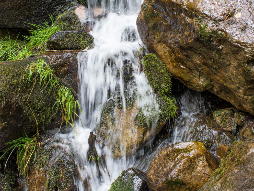
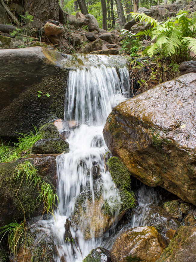 Finally, the See Spring Hiking Trail ends by of a huge patch of boulders. Water gushes out beneath many. Take the time to explore and enjoy this lush, moss and fern filled oasis. After the fun, turn back the way you came to return to the trailhead. If a picnic with the kiddos is in the plans, a shady creekside nook, fit with cut logs to sit on and a small fire pit, rests on the side of the trail. Please take your trash out to leave the area clean for others to enjoy!
Total Nerdery Natural mint grows along this trail during Spring and Summer. Just another little bonus on this hike.
Resources Click here to download a trail map Courtesy of Tonto National Forest
Directions From the intersection of AZ-87 and AZ-260 (in Payson), head east on AZ-260, for 20 miles, to the Christopher Creek Loop. Turn left / north onto Christopher Creek Loop and continue 1 mile to FR 284 (on the left, across from Tall Pines Market). The See Spring / See Canyon Trailhead is 1.7 miles further on FR 284. This is a somewhat rutted dirt road. A high clearance vehicle is recommended.


3 Responses to See Spring Hiking Trail
We drove up to Payson today to hike this trail and everything is closed d/t fire danger. 🙁 Also the tonto natural bridge state park trails are all under construction until September. Make sure to check online before going up there!
Thank you for sharing the current status Justine. Hopefully everything will open back up again soon.
It is open again and very beautiful as of 8/20/23. A real forest experience with a canopy of trees, ferns, downed logs everywhere, soft earth, etc. A great getaway.