★★★★☆ Moderate / Alpine
Cross Aspen groves, butterfly dotted meadows and “wailing” forests on this alpine hike. The Escudilla Hiking Trail ascends Arizona’s third highest peak, passing healthy forests and areas burned out in the 2011 Wallow Fire. Outstanding views await by the watchtower at the top.
TRAILHEADs: Forest Road 56, north of alpine • DIFFICULTY: moderate • DISTANCE: 3 MILEs (6 miles RT) • APPROX. TIME: 3-4 HOURS • Starting Elevation: 9,560 • ELEVATION GAIN: 1,317 FEET (94 STORIES) • APPROX. CALORIES BURNED: 900-1,020 RT • BEST TIME OF YEAR: may – october • PETS: YES • KID FRIENDLY: no • FACILITIES: none • FEES:none
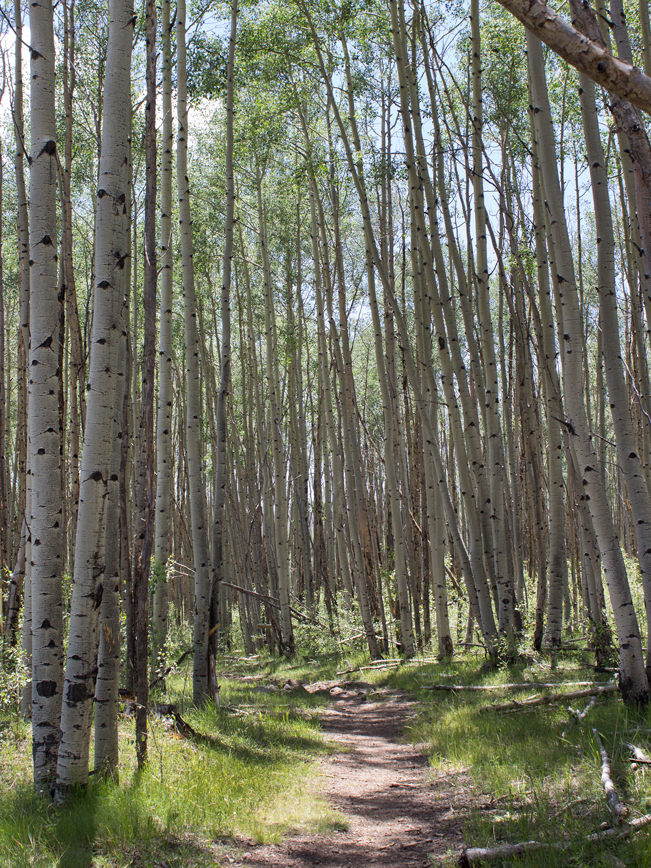 Despite Escudilla Mountain’s status as Arizona’s third highest peak, the trail to the summit is a brief 3-miles long and not difficult. It kicks off towards the top of the mountain, between lush Aspen Groves.
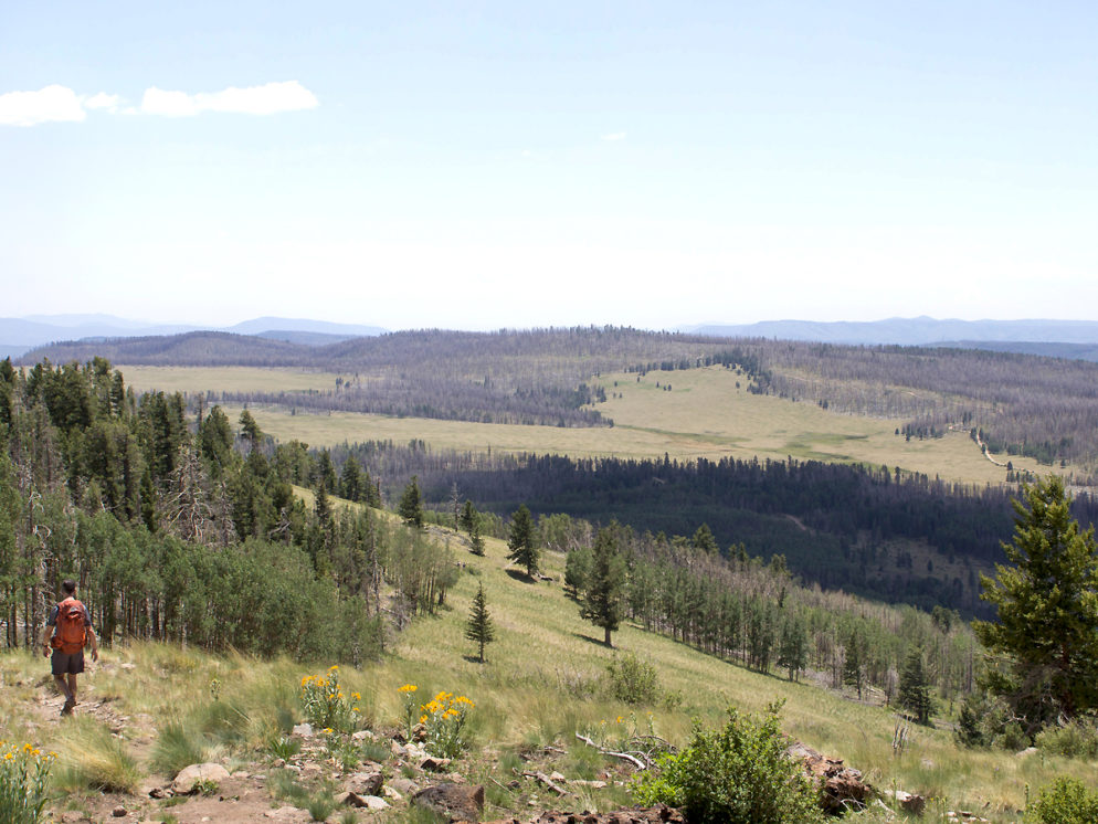
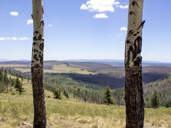 A little over 1-mile into the hike, gorgeous Tool Box Meadow opens up onto windblown pines and excellent views of the area.
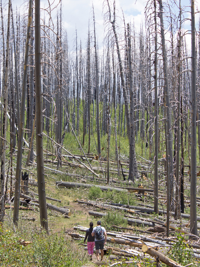 After crossing Toolbox Meadow the path reenters, what is now, the burned out remains of the forest. The mountain was badly damaged during the 2011 Wallow Forest Fire. On breezy days, an eerie wailing sound is resounds as the wind passes through the barren trunks.
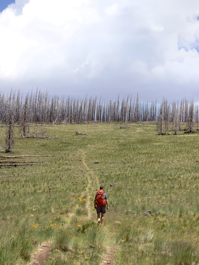 Another meadow appears shortly thereafter. It ascends a gentle hill on an old service road.
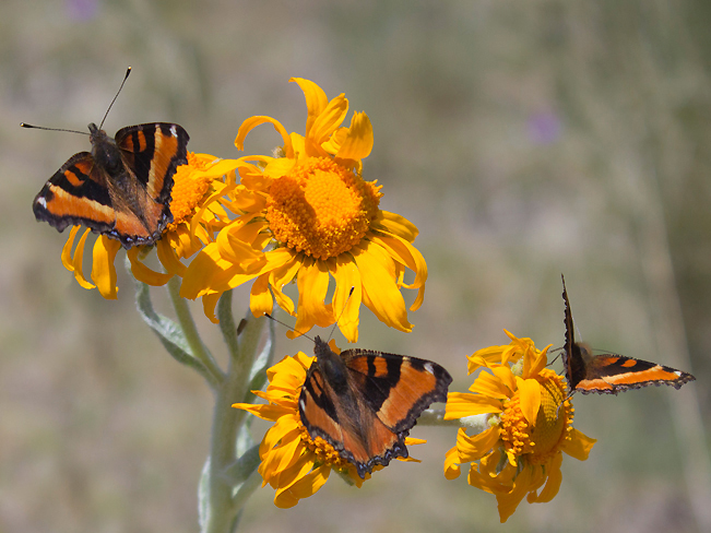 During spring and summer this meadow is filled with colorful wildflowers, and literally hundreds of happy butterflies.
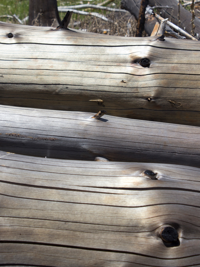 Reentering another stretch of burned out forest, the trail veers left. This next mile holds an unusual beauty, as thousands of felled trees shimmer silver and gold in the sunlight.
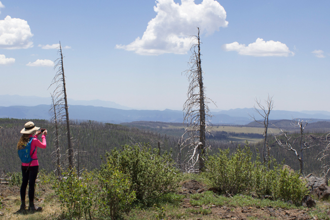 The trail ends just below a damaged, and now unmanned watchtower. In front of the tower epic views hundred-mile-views stretch to the horizon.
Total Nerdery In 1965 Arizona’s very last grizzly bear was killed on Escudilla Mountain. Black bears still live in the Apache Sitgreaves National Forest. But no grizzlies.
Resources Click here to download a trail map. (Courtesy of US Forest Service, Apache Sitgreaves National Forest)
Directions From the intersection of US 191 and US 180 (in Alpine), drive 5.5 miles north on combined US 180/191 to Forest Road 56. Turn right on FR 56 and continue 3.6 miles to a fork in the road at Terry Flat. Take the left fork and drive 0.5 mile to the trailhead on the right side of the road.


Leave a Reply