★★★★★ Moderate / Flagstaff Area
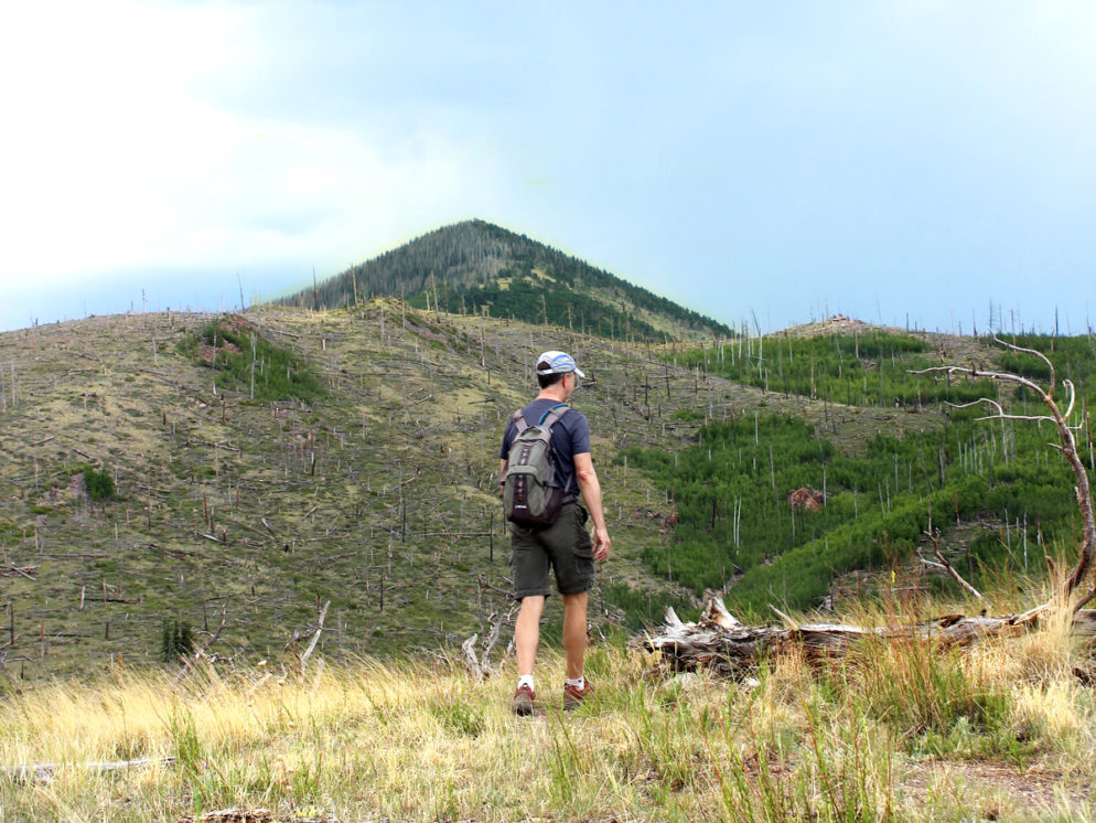
This back-door trail to Kendrick Peak crosses devastatingly beautiful hills. Fallen tree trunks line the Pumpkin Hiking Trail, like giant pick-up-sticks – the result of a large forest fire in 2000. Their various states of decay offer a kind of creepy-cool glimpse into the beauty of natural regeneration.
TRAILHEAD: Forest Road 149, north of flagstaff • DIFFICULTY: moderate • DISTANCE: 4.8 MILES (9.6 MILES RT) • APPROX. TIME: 5-6 HOURS RT • ELEVATION GAIN: 2,825′ (approximately 201 stories) • APPROX. CALORIES BURNED: 1,440-1,630 • BEST TIME OF YEAR: March-october • PETS: YES • KID FRIENDLY: no • FACILITIES: no • FEES: none
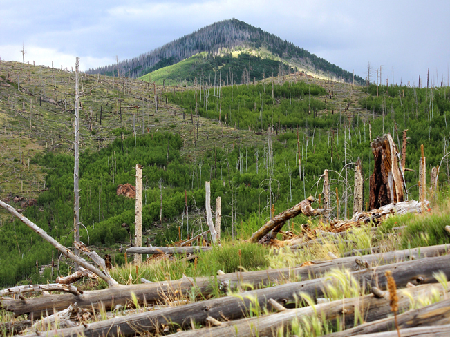 Looking up at Kendrick Peak from the base of the Pumpkin Hiking Trail, it seems like the trees let out a uniform sigh and then collapsed. Heaps of fallen trunks, in various states of decay, line the hillsides like a natural CSI scene.
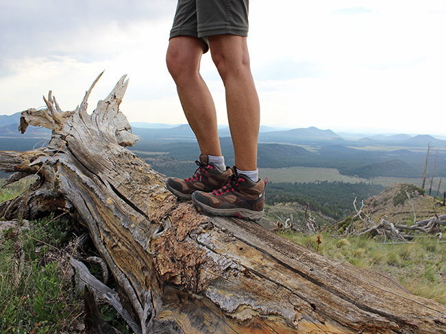 Hiking in the midst of this devastation is both slightly eerie and also incredibly beautiful. With no leaves or trees to block the views, the Pumpkin Hiking Trail offers some of the most killer vistas in the area!
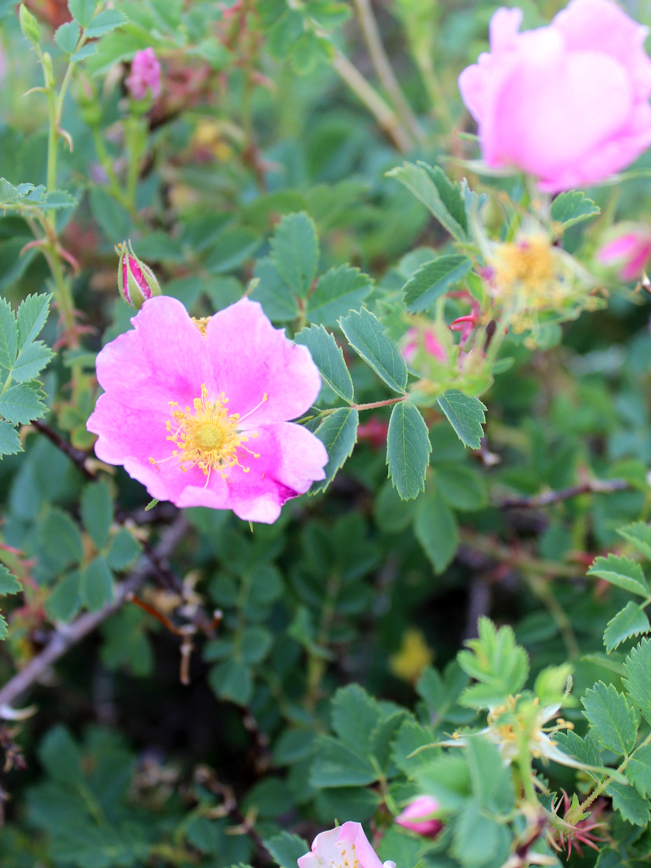 Traces of regrowth seem especially precious here. Wild roses peek out between the fallen trees, Spring through Fall, giving evidence of slow rebirth.
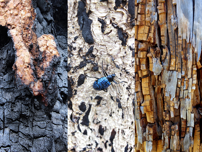 And the logs themselves are a textural wonderland, with varied surfaces of charred wood, white ash and Jenga-esque decomposition.
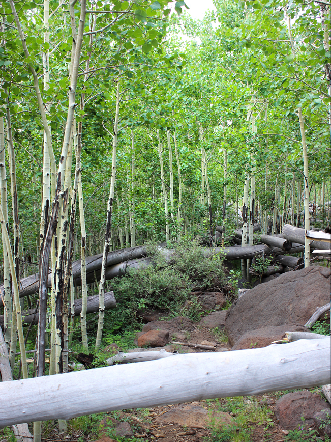 As the Pumpkin Hiking Trail ascends it leaves the devastation behind, crossing through young Aspen fields and healthy Pine groves, beyond the reach of the fire.
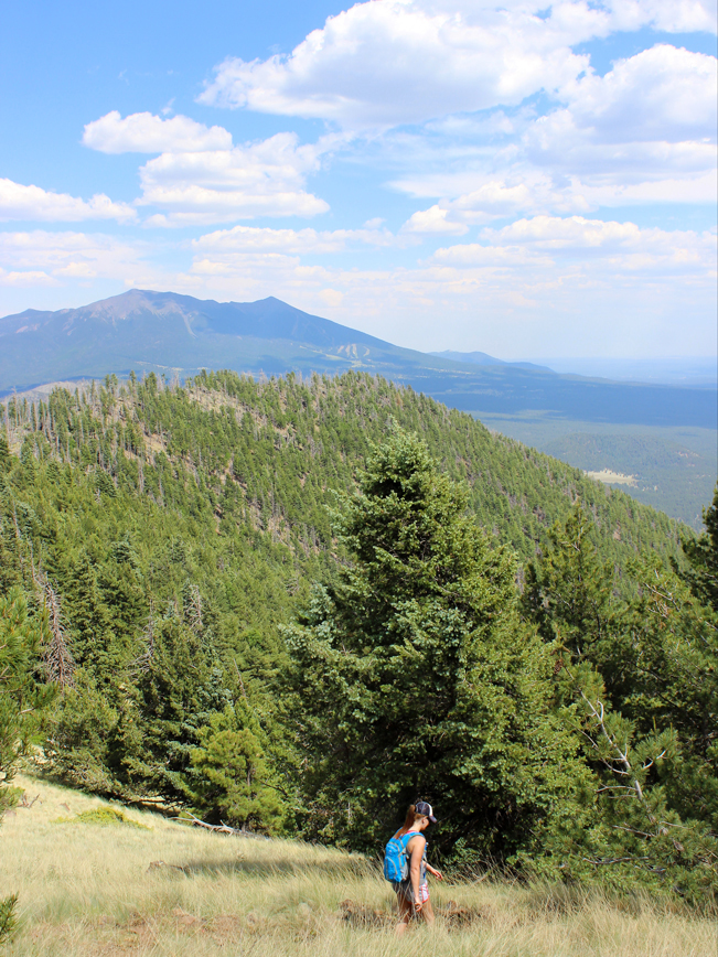 Finally, the Pumpkin Hiking Trail switchbacks up the side of Kendrick Peak to its watchtower. Here 360° views span to Mount Humphreys in the east, Williams Mountain in the West, and the Grand Canyon in the north.
Hike back down the way you came, or take the Bull Basin and then the Connector Trail for a 13 mile loop hike.
Total Nerdery
The fire of 2000 left a “checkerboard” pattern of devastation that is clearly visible today. Some areas were completely burned while others were left 100% untouched.
Resources
Click here to download a trail map.
Directions From the intersection of I-17 and I-40 (in Flagstaff) take I-40 west for 17.7 miles to the Parks exit #178. Turn right (at the Parks store) onto FR 141 and continue north for approximately 11 miles to FR 144. Continue on FR 144 for 2.5 miles to FR 171. Turn right (east) onto FR 171 and drive 2.8 miles to the right-angle curve in the road, then turn left (east) onto FR 149 just south of the curve, and continue for about one mile to the trailhead. Please note that FR 149 is fairly eroded, requiring a high-clearance vehicle.


Leave a Reply