


★★★☆☆ Moderate / Payson Area
Creeks, cool forests and Mogollon Rim views are just a few of the perks on this pretty hike. Jutting into the front of the Mogollon Rim, See Canyon can be hiked from bottom to top, or top to bottom. Either way, this trail is loaded with many of the Rim’s best features.
TRAILHEAD: Forest Road 284, Christopher Creek • DIFFICULTY: Moderate • DISTANCE: 3.5 MILES (7 miles RT) • APPROX. TIME: 3.5 – 4.5 HOURS rt • ELEVATION GAIN: 1,500 FEET (107 STORIES) • APPROX. CALORIES BURNED: 1,050 – 1,190 rt • BEST TIME OF YEAR: april- Oct. • PETS: YES • KID FRIENDLY: No • FACILITIES: YES. no water • FEES: None
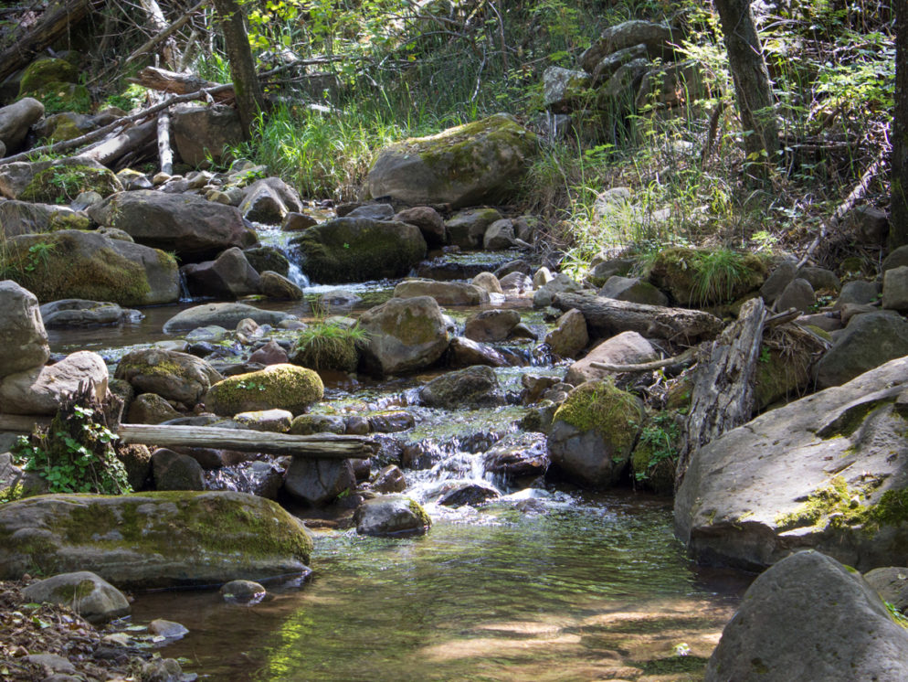
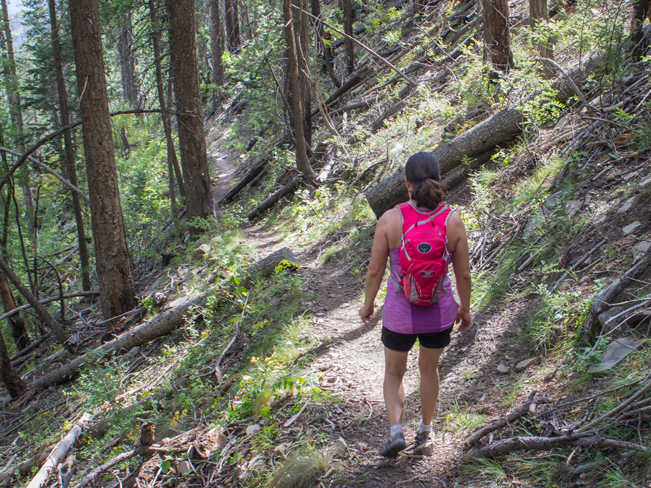
 From the See Canyon Trail’s lower trailhead, the hike kicks off along the banks of babbling Christopher Creek. Lush trees and cool shade provide a fantastic “ahhh” factor the second boots hit trail.
 The See Canyon Trail first crosses Christopher Creek on ample boulders. Then heads north towards the Mogollon Rim. The next half mile passes through grassy stretches and dry arroyos, before bumping into the creek once again. Just before this juncture, a 1.5 mile side trail leads to See Springs.
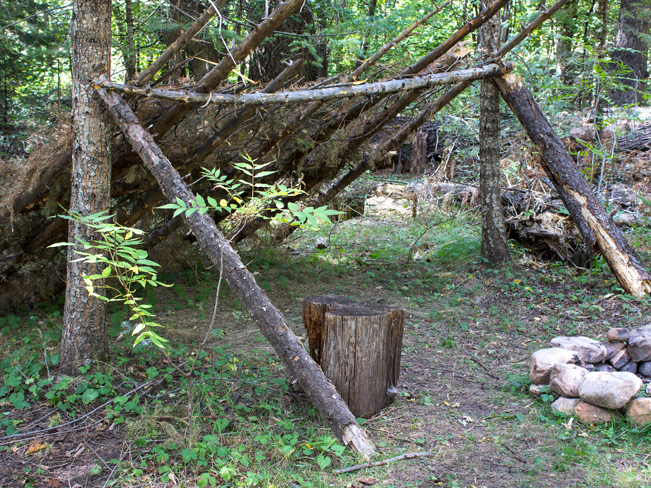 After crossing the creek a second time, the trail veers left and heads into the canyon. A lean-too offers a fun trailside hang out a little further on.
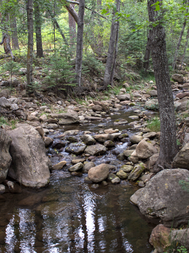
 From here onwards, See Canyon Hiking Trail follows the canyon. It crosses the creek again, about 1.5 miles in. Then slowly ascends along the side of a moderately steep hill. Increasingly tall pines keep the pathway shady and cool.
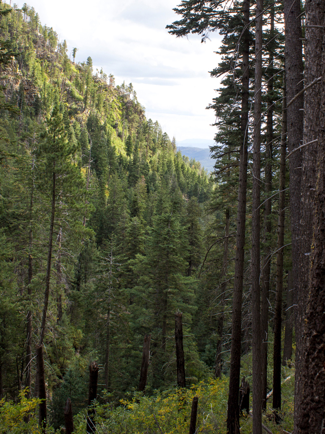 Backwards glimpses over lush See Canyon, peak out between the trees as the trail gains elevation.
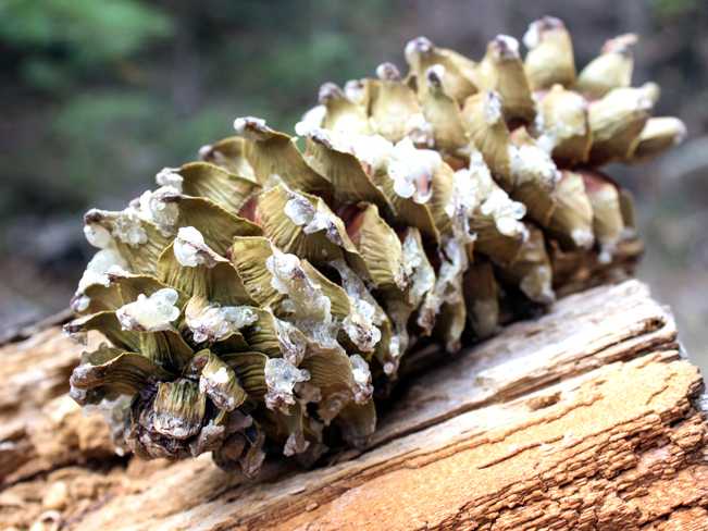 Soaring Ponderosa, Limber, and other pines define the trail’s upper landscape. Here over-sized, sap coated pinecones glisten under shafts of sunlight.
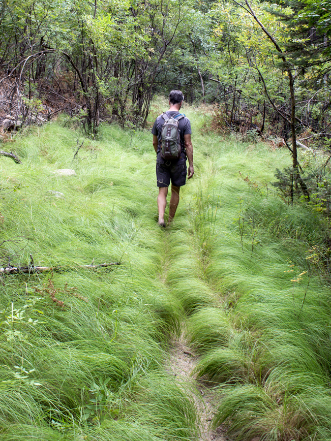
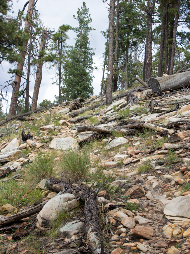 The last 1.5 miles of the See Canyon Hiking Trail are the steepest. The trees thin out, replaced by scattered rocks and boulders, as the trail nears the rim.
 Pretty views over See Canyon and the Mogollon Rim spread out from the top of the rim. The trail continues another quarter mile. It crosses the Highline Trail. Then ends at its upper trailhead, off Forest Road 300. Turn around here to head back to the base. This hike can also be done in reverse, heading down, then back up, from the upper trailhead.
Total Nerdery Christopher Creek is named after its original settler, Isadore Christopher. He was a French cartographer and hog farmer who lived along the creek in the late 1880s. He is also said to have opened the first BBQ restaurant in the area.
Resources Click here to download a trail map Courtesy of Tonto National Forest.
Directions
Lower Trailhead: From the intersection of AZ-87 and AZ-260 (in Payson), head east on AZ-260, for 20 miles, to the Christopher Creek Loop. Turn left / north onto Christopher Creek Loop and continue 1 mile to FR 284 (on the left, across from Tall Pines Market). The See Canyon Trailhead is 1.7 miles further on FR 284. This is a somewhat rutted dirt road. A high clearance vehicle is recommended.
Upper Trailhead: From the intersection of AZ-260 and Forest Road 300 / Rim Road (east of Kohl’s Ranch), take FR 300 northwest for 12.2 miles. The rather nondescript trailhead is on the left /southern side of the road.
Leave a Reply