★★★★☆ Moderate / Phoenix Area
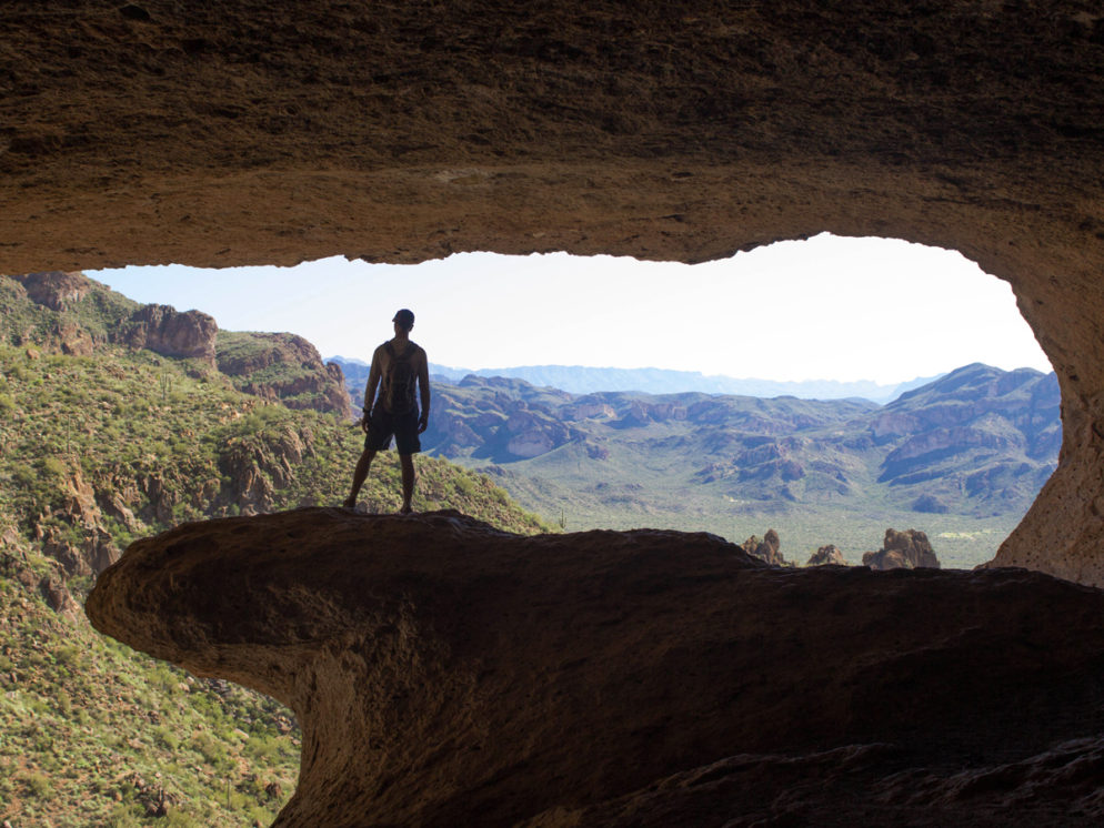
Cowabunga! “Surf” a huge stone wave near the top of this Superstition Mountain. The short Wave Cave Hiking Trail leads to a gapping cavern, rimmed with an oversized wave-like formation.
TRAILHEAD: Peralta Road, Gold Canyon • DIFFICULTY: MODERATE (a bit difficult near top) • DISTANCE: 1.75 MILES (3.5 MILES RT) • APPROX. TIME: 1.5 – 2.5 HOURS • ELEVATION GAIN: 980 FEET (70 STORIES) • APPROX. CALORIES BURNED: 525-595 • BEST TIME OF YEAR: NOV. – MARCH • PETS: YES • KID FRIENDLY: 10 AND OLDER • FACILITIES: No (but available at Peralta trail head – no water) • FEES: NONE
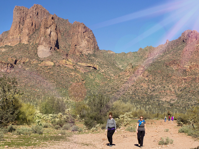 Although the hike to Wave Cave follows an unofficial path through State Land, its popularity has resulted in a well defined trail. The hike kicks off at the intersection of Carney Springs and Peralta Roads. There are no signs for Wave Cave Trail. But the wide, blocked-off dirt road that makes up the first mile is impossible to miss. And the cave itself is clearly visible mid-hill.
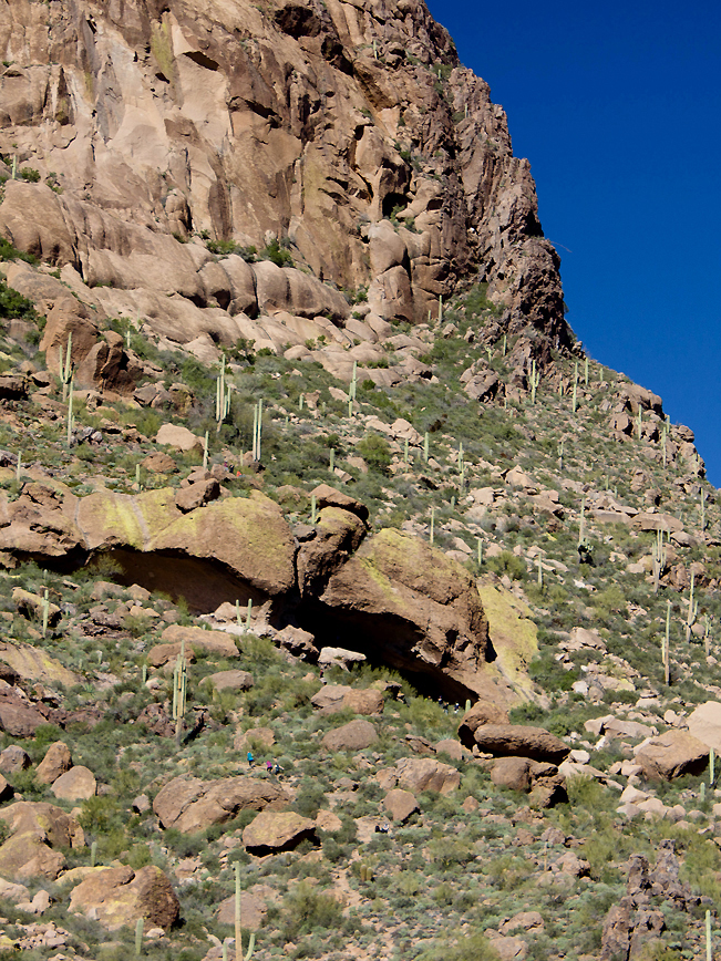 After crossing Lost Goldmine Trail, the Wave Cave Hike passes through a State Land border fence. It then veers left at a V-intersection before starting to wind up the foothills. The trail gets steeper & slipperier as it climbs. Take caution on its surface of loose gravel & rock.
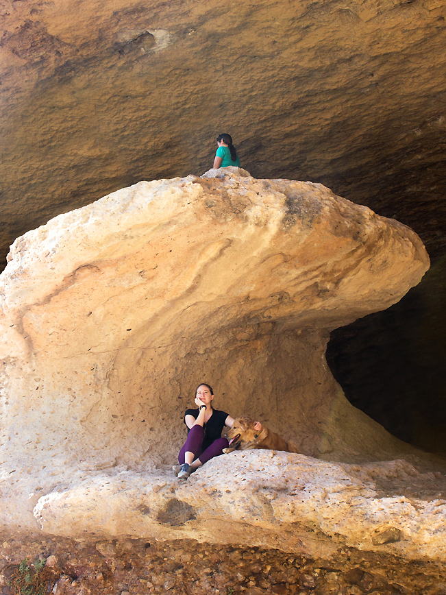 At the front of the Wave Cave a “yuuge” stone breaker marks the entrance.
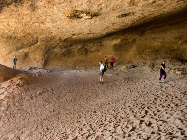 Access this monolith from behind, inside the large, cool dusty cavern.
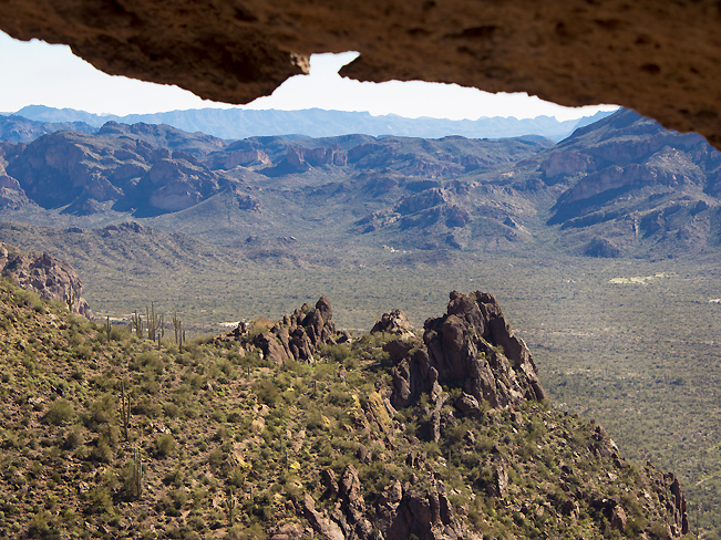 Standing on the Wave the views over the Superstition Mountains are stunning. A smaller cave is easy to access just around the side of Wave Cave. Totally worth a mini-jaunt.
Note: Although it is rarely enforced, an annual $15 State Permit allows full access to this and other State Lands. Permits may be purchased here.
Total Nerdery
Most popular Wave Cave poses? Balancing in surf position on top of the crest, followed by jumping then yoga. Have fun with yours!
Resources
Click here to download a map of the trail.
Directions From the intersection of AZ-101 and Highway 60 in Phoenix, take Highway 60 east towards Globe. Drive for 26.5 miles on Highway 60 to East Peralta Road. Turn left / north at the stoplight onto East Peralta Road and continue for 6.1 miles to the Carney Springs parking area on the left side of Peralta Road. Note: after 1-mile, East Peralta Road leaves the pavement and becomes a well graded dirt road. A high-clearance vehicle is recommended.


Leave a Reply