


★★★☆☆ Moderate / North of Fountain Hills
Huge, upright boulders and a “sometimes” stream grace this NE Phoenix trail. The Ballantine Hiking Trail kicks off just north of Fountain Hills, alongside busy Beeline Highway. As the trail curves away from the road, the sight and sound of traffic disappears. In their place is surprising tranquility & tons of cool rock formations.
TRAILHEADs: AZ 87, North of Fountain Hills • DIFFICULTY: Moderate • DISTANCE: 3.4 MILEs (6.8 miles rt) • APPROX. TIME: 3.5-4.5 HOURS • ELEVATION GAIN: 1,460 FEET (104 STORIES) • APPROX. CALORIES BURNED: 1,020-1,150 RT • BEST TIME OF YEAR: October-April • PETS: YES • KID FRIENDLY: No • FACILITIES: none • FEES: none
Ballantine & Pine Creek Loop Trail
 Parking at the Ballantine / Pine Creek trailhead, right off AZ 87, it’s hard to imagine the quiet hike ahead. The Ballantine Hiking Trail heads left, paralleling the noisy highway for a half-mile. It then curves into the mountains and (Wow!) changes character completely. Suddenly, rolling hills frame the path and silence (yes silence) fills the air. A signpost, a mile further on, marks the intersection of the Pine Creek Trail. Turn right here for a short 3-mile loop back to the trailhead. Or turn left, (recommended) to continue to Boulder Flat.
Ballantine Trail to Boulder Flat
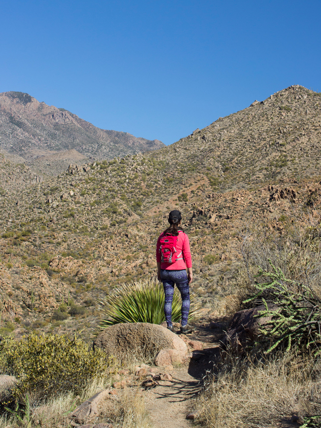
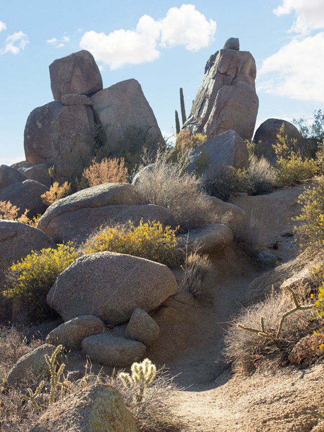
 Turing left, the Ballantine Trail now starts to climb for real. It passes an immense field of giant hoodoos, tall stacks of granite boulders, and ginormous wildly balanced rocks.
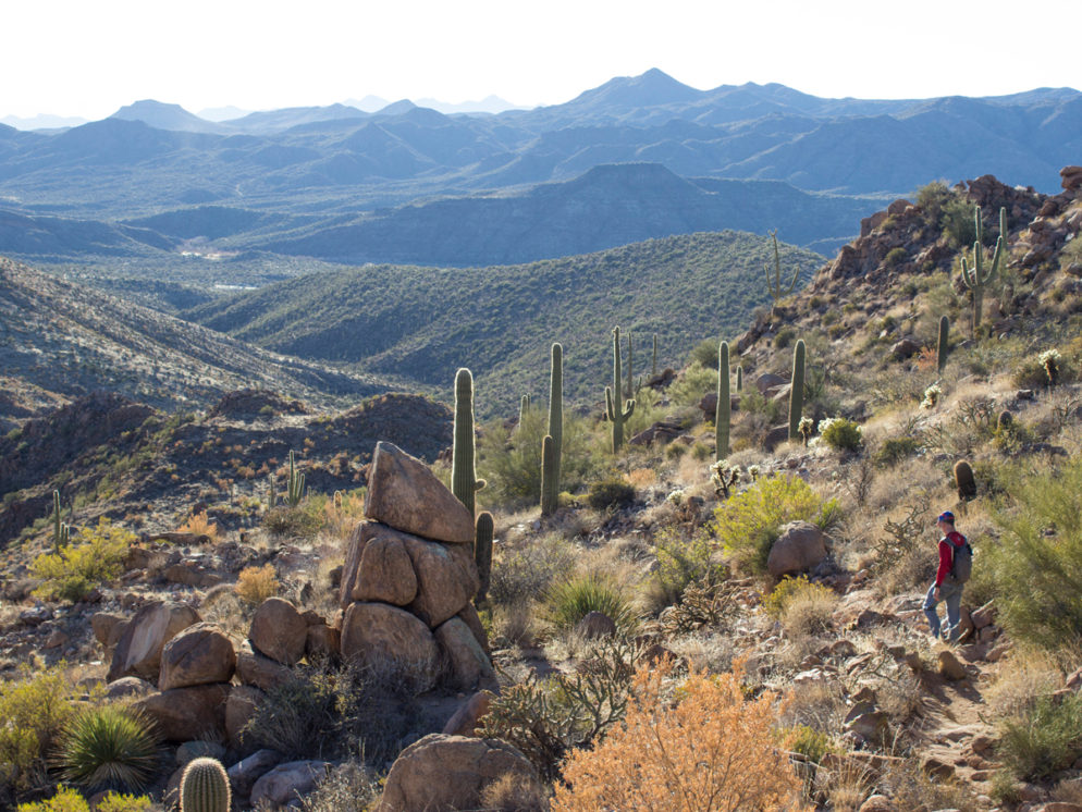
 After cresting a granite strewn peak, the trail slowly dips, then even’s out for the next mile. The tranquility in this area is palpable, as the path winds between dramatic rock-faced hills.
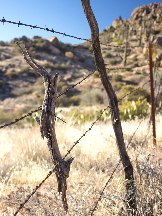 An ancient fence, of barbed wire and worn branches, outlines cattle grazing land alongside the trail.
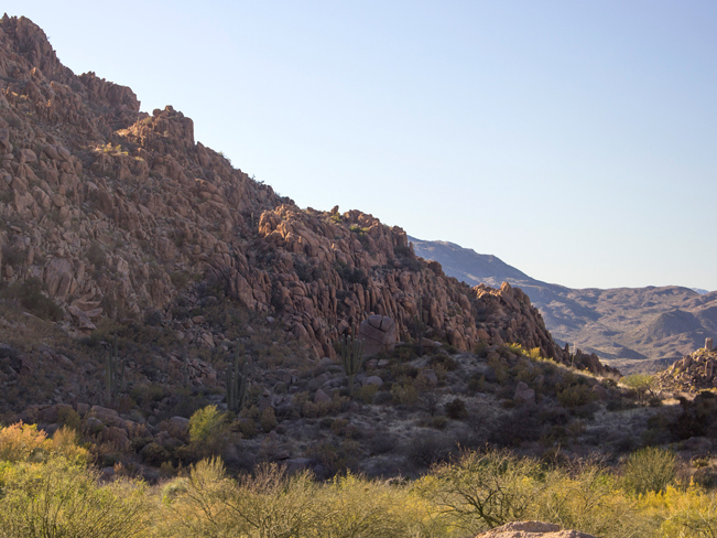
 At 3 miles, the Ballantine Hiking Trail reaches a T-intersection with the Pipeline Trail. Turn right to continue on the Ballantine Trail to Boulder Flat. A half mile further on, the surrounding area opens wide and flattens out. Camp Creek crosses the area, flowing by after a good rain. There are fantastic views of the surrounding rock lined hills. Turn around here to return to the trailhead. Or continue another 6.6 miles to the end of the Ballantine Trail, at the Cline Trail.
Total Nerdery The area surrounding the Ballantine Hiking Trail was severely burned in 2005, in the Cave Creek Fire. Some signs of the damage are still visible.
Resources Click here to view or download a trail map.
Directions From the intersection of Shea Blvd. and AZ 87 (in Fountain Hills), head north on AZ 87 for 21 miles. The Ballantine / Pine Creek Trailhead is clearly marked, on the right / east side of the highway.
Leave a Reply