


★★★☆☆ Moderate / Cave Creek
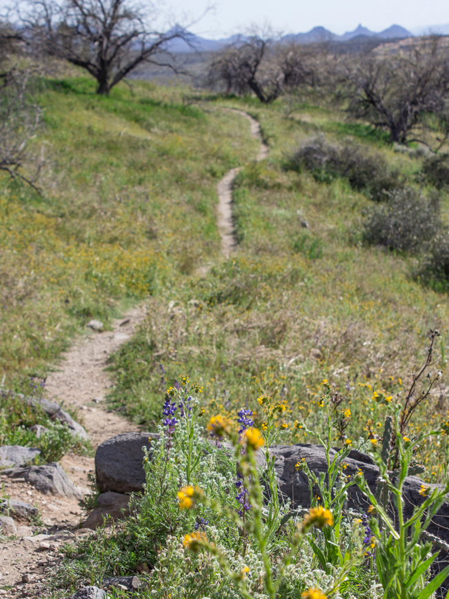
Ancient Hohokum ruins grace the top of a windswept bluff on this short loop hike. The Sears Kay Ruins Hiking Trail meanders up a small hill, in the middle of an arid desert. At the top, interpretive signs provide information about the ruins and the Native American people who called this area home.
TRAILHEAD: Sears Kay Ruins Road, Cave Creek • DIFFICULTY: easy to Moderate • DISTANCE: 1.1 Mile loop • APPROX. TIME: 0.5-1 HOUR • ELEVATION GAIN: 200 FEET RT (14 STORIES) • APPROX. CALORIES BURNED: 165-190 • BEST TIME OF YEAR: Oct-April. • PETS: yes • KID FRIENDLY: yes • FACILITIES: Yes (no water) • FEES: none
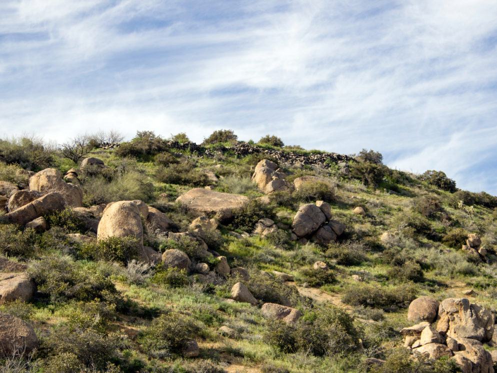
 In the midst of the rolling hills, just west of Bartlett Lake, the short Sears Kay Ruins Hiking Trail leads up one of the area’s higher bluffs. Between boulders and shrubs, expansive views spread for miles. Even the Superstition Mountain’s Weavers Needle can be spotted far away in the distance.
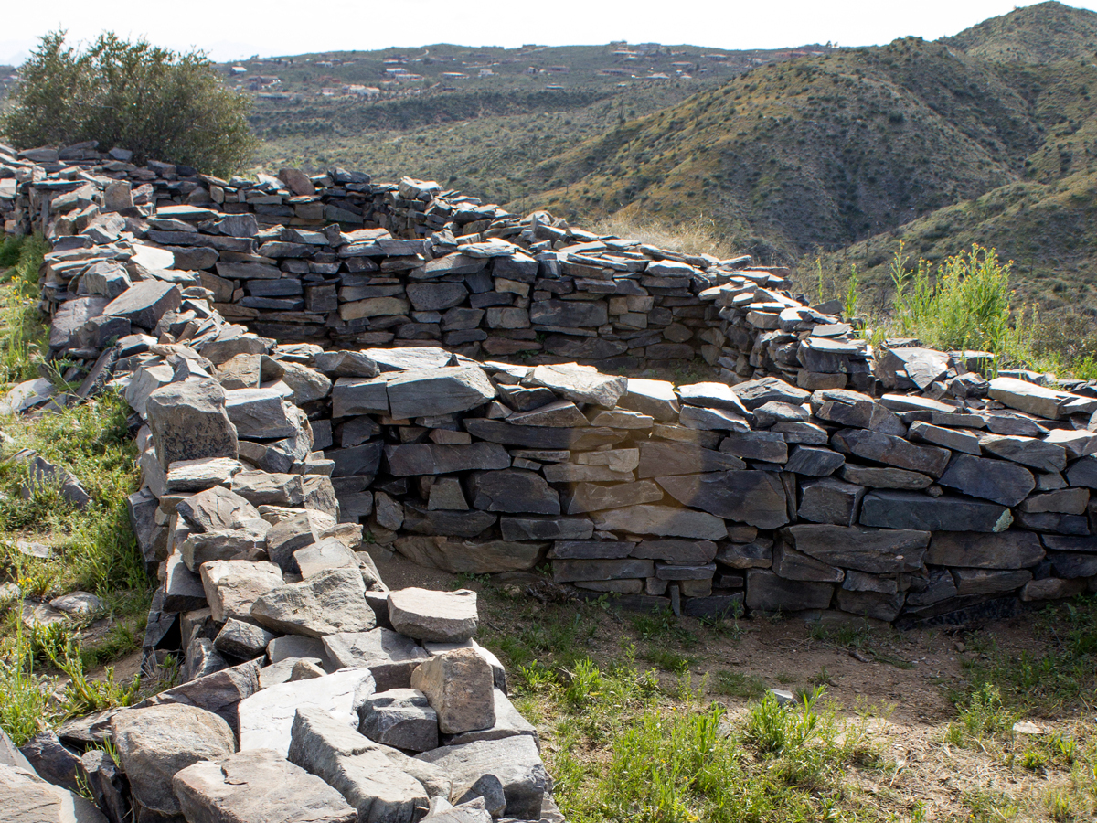 The stone remains of a 40-room Hohokum fortress sprawl across the top of the hill. Interpretive signs provide solid information about the tribes social structure and building use.
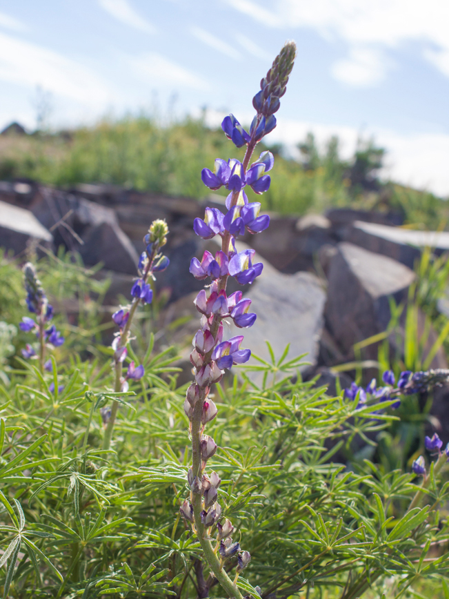 In Springtime the hilltop is full of wildflowers, including purple Lupine and orange Mexican Poppies.
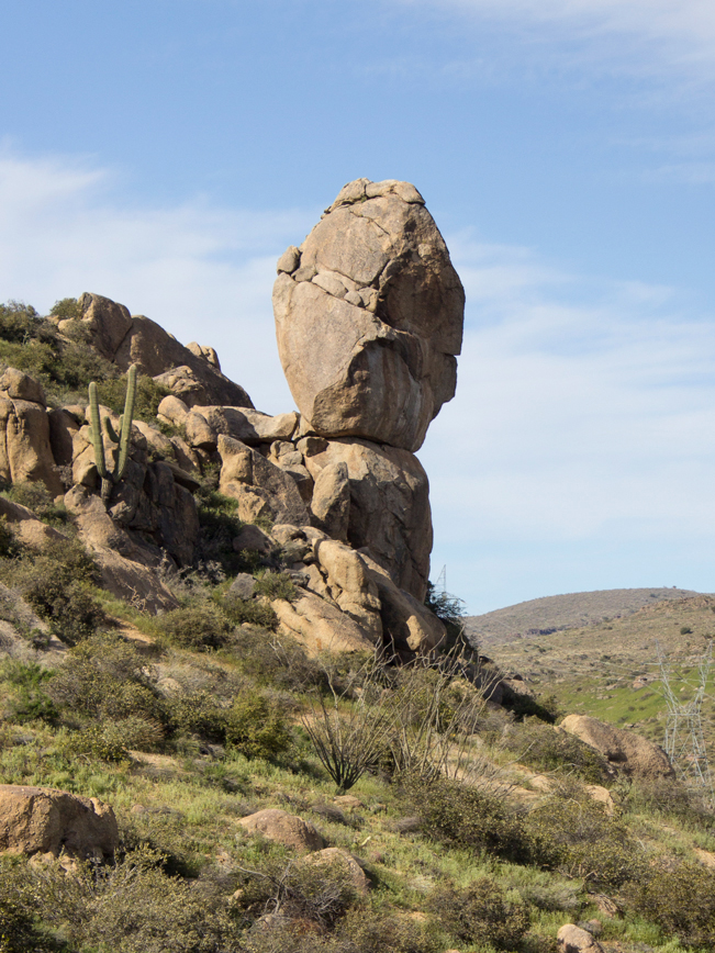 As the loop trail makes its way down and around the hill, it passes a number of immense rock formations. A 60′ high structure, called “the Warrior,” seems to defy gravity, balancing upright on the hillside.
Total Nerdery This site was occupied in 1500 AD. It’s unknown why the Hohokum people ultimately abandoned this hilltop fortress.
Resources Click here to download a trail map.
Directions From the intersection of Tom Darlington and Cave Creek Road (in Carefree), take Cave Creek Road (which becomes Seven Springs Rd.) east for 9.25 miles to Sears Kay Ruins Road. Turn right to reach the Sears Kay Ruins Hiking Trail Loop trailhead.
Leave a Reply