


★★★☆☆ Moderate / Phoenix Area
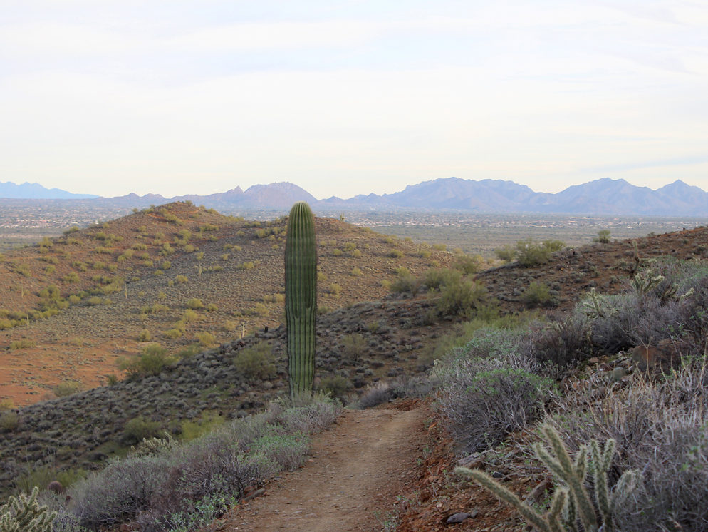
Nab a quick escape from Phoenix’s northern ‘burbs on these pretty desert trails! The combined Sidewinder, Ridgeback, Ocotillo Hiking Trail Loop crosses flat arroyos and Saguaro studded hills in the Phoenix Sonoran Preserve. At the highest point, 360° views stretch to Camelback Mountain, Crown King and Four Peaks. Hike early or late and you’ll likely see hot air balloons floating nearby.
TRAILHEAD: 1600 East Sonoran Desert Drive, Phoenix • DIFFICULTY: MODERATE • DISTANCE: 4.56 MILE LOOP • APPROX. TIME: 2.5 – 3.5 HOURS • ELEVATION GAIN: 600 FEET (43 STORIES) • APPROX. CALORIES BURNED: 600-685 • BEST TIME OF YEAR: OCT. – April • PETS: YES • KID FRIENDLY: A little long for kids • FACILITIES: YES but no water • FEES: none
 With over 20 interconnecting trails, the Phoenix Sonoran Preserve offers a mind-boggling array of possible hiking mash-ups. An all-time favorite is the Sidewinder, Ridgeback, Ocotillo combo. This well-marked loop is wonderfully varied and a welcome escape from Phoenix’s northern sprawl. From the Apache Wash Trailhead, head right onto Sidewinder Trail. This leg curves around the preserve’s easternmost hill and offers sweet views of the area.
 After less than a mile of moderate uphill, the Sidewinder Trail slowly descends and then flattens out to cross the desert floor. Just before this descent, a side trail leads to the Apache Vista overlook. Feel free to skip this, as better views are to come!
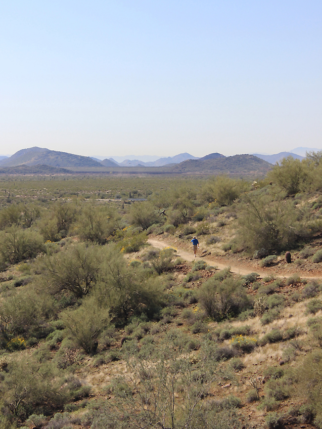
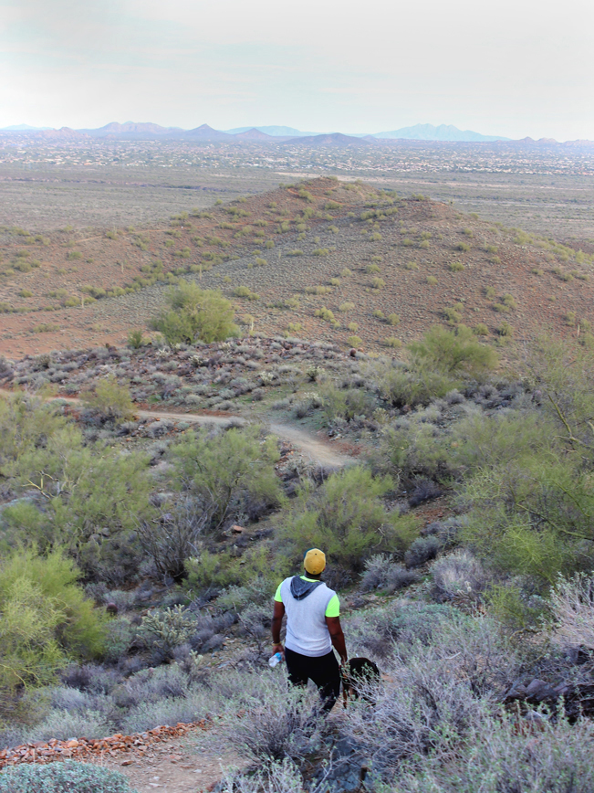
 An easy stroll across the desert floor is followed by a winding hike through low foothills. Here Sidewinder intersects with Ridgeback. Turning left onto Ridgeback, the hike begins to climb as it loops back towards the start. This leg is the steepest portion of the hike. Make it to the top and you’re gold!
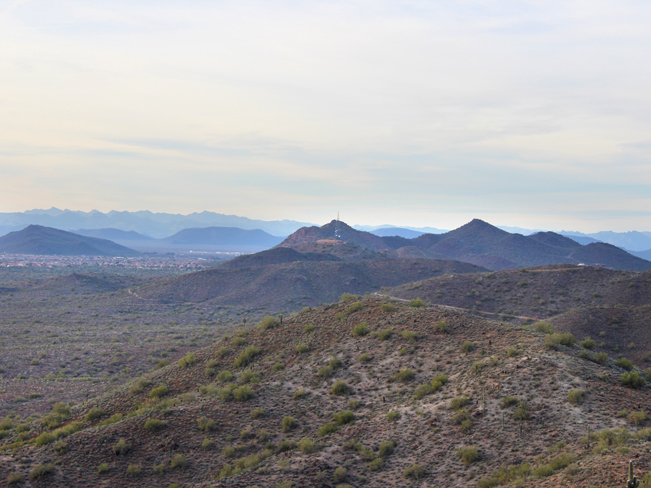 A short access trail leads to the top of Ridgeback and amazing views, stretching for miles in every direction. The full length of the preserve is visible, all the way to the satellite tower on the western side and beyond.
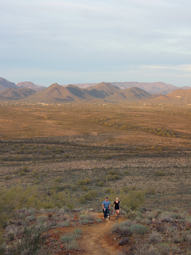
 Celebrate. Because from here on out the hike is all downhill Baby! Ridgeback descends a half mile until it reaches its end at the Ocotillo.
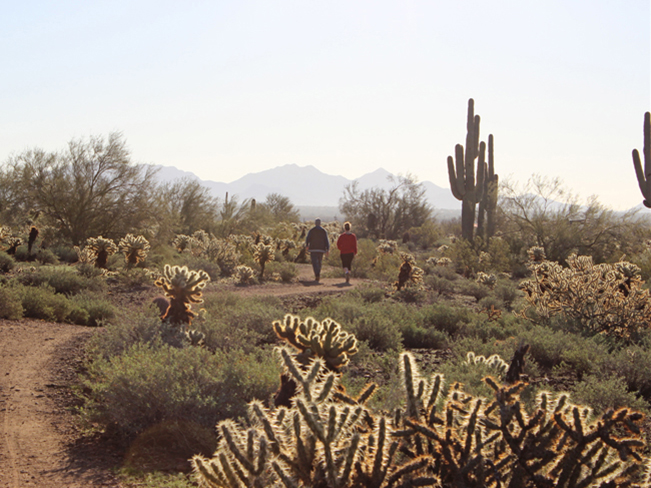
 Turn left onto Ocotlilo for the final leg. The trail gently meanders over a series of small undulating gullies. Then it flattens out once again as it heads back to the trailhead.
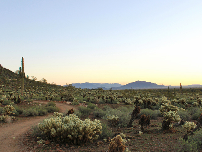
 Bonus! During mornings and evenings, October through April, it’s pretty cool to see hot air balloons floating nearby. The flat desert surrounding the Preserve is a popular launch site.
Total Nerdery
The Phoenix Sonoran Preserve is actually made up of two neighboring sets of hills. The northern portion flanks Sonoran Desert Drive. While the southern portion is accessed through the Fireside Development.
Resources Click here to download a trail map
Directions: From the intersection of I-17 and the northern loop of AZ-101 (in Phoenix) head north on I-17 for 7 miles to Dove Valley Road / exit 222. Turn right / east onto Dove Valley Road (which becomes Sonoran Desert Drive) and drive for 5.5 miles to the Apache Wash Trailhead Parking lot, on the left side.
Leave a Reply