


★★★☆☆ Moderate / North Phoenix
Pretty views, an owl’s nest and a rusted out car are fun features of this neighborhood hike. The Dixie Mountain Hiking Trail Loop winds through northern Phoenix’s Sonoran Preserve. Inside the park, the suburbs fade from view, replaced by pretty, rolling desert hills.
TRAILHEAD: 1900 west desert vista trail, phoenix • DIFFICULTY: moderate • DISTANCE: 4.2 MILE loop (including access trail) • APPROX. TIME: 2 – 3 HOURS • starting elevation: 1,600′ • ELEVATION GAIN: 636 (including access trail) • APPROX. CALORIES BURNED: 630 – 715 • BEST TIME OF YEAR: OCT. – april • PETS: YES • KID FRIENDLY: Yes • FACILITIES: YES • FEES: None
 Tucked into the Phoenix Sonoran Preserve, in the midst of the city’s northern suburbs, the Dixie Mountain Hiking Trail Loop is a surprisingly scenic ramble. From the Desert Vista Trailhead, the moderately steep, 0.4 mile, Hawks Nest access trail leads into the preserve. Keep your eyes peeled for an owls nest that often occupies a Saguaro on the left side of this trail.
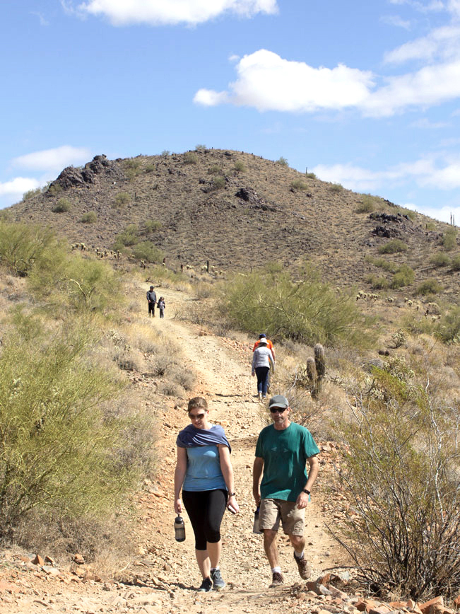
 The Dixie Mountain Loop kicks off at the top of the hill, by a clearly marked signpost. The loop can be hiked in either direction. It’s described here turning right. Pleasantly, the surrounding ‘burbs mostly disappear from view inside this pretty preserve. The first 1.25 miles meander along a number of hillsides as the trail crosses the park. A number mild ascents and descents add interest.
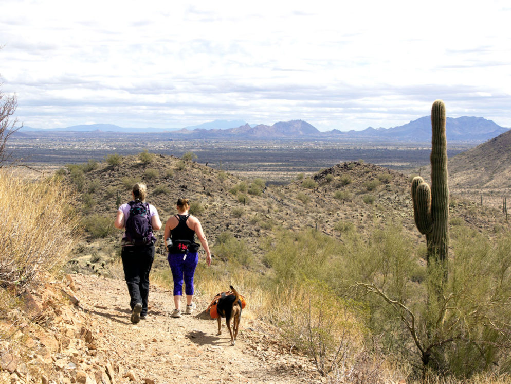
 Lovely views over Dove Valley and the northern section of the Phoenix Sonoran Preserve fan outwards as the trail arcs westward for the next 1.25 miles.
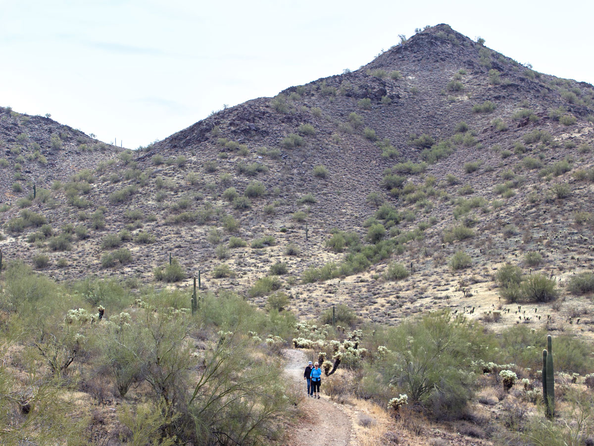
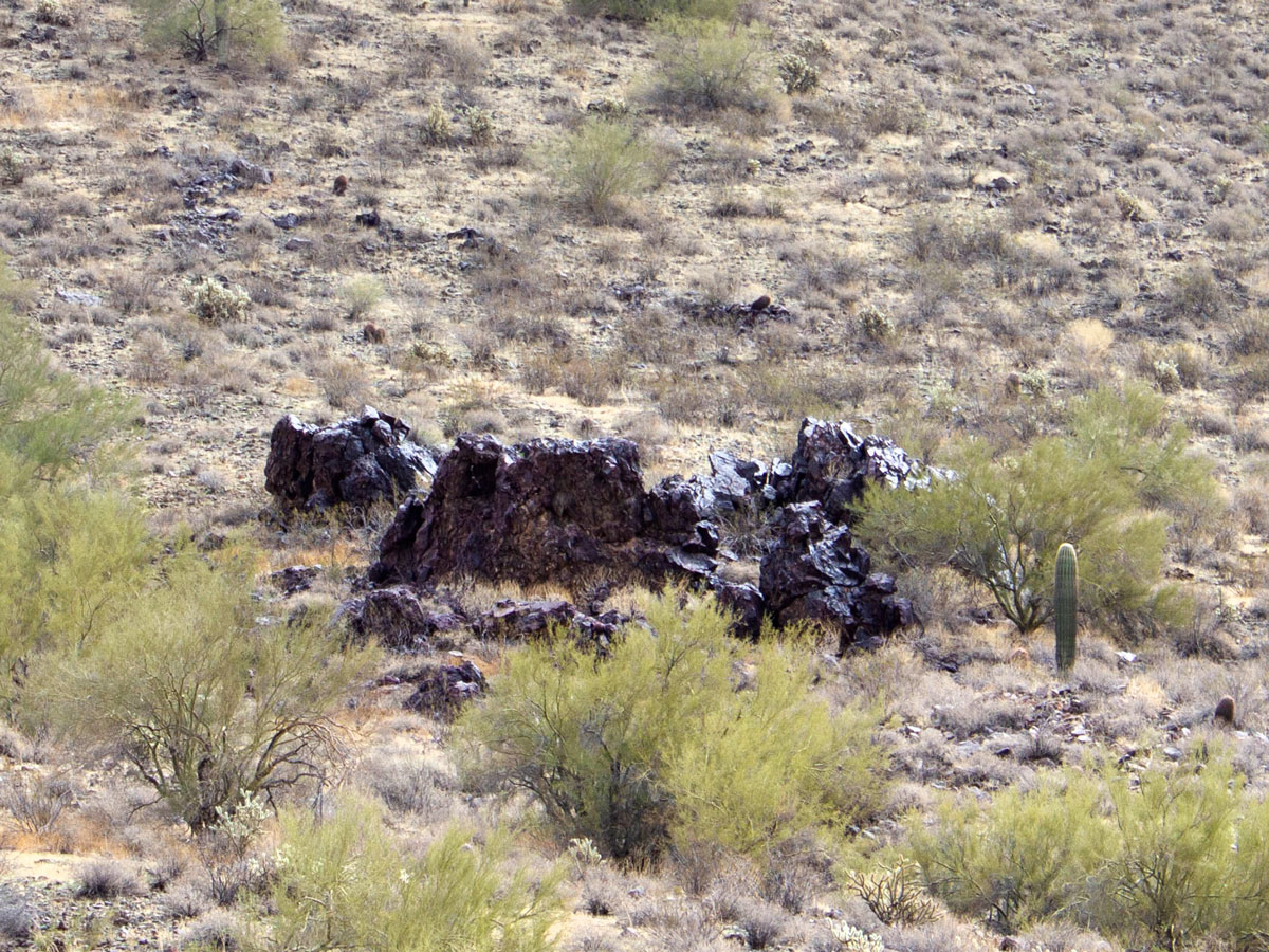 The Dixie Mountain Loop Trail curves back into the preserve, at the intersection of the Bobcat Trail. The path flattens out as it winds between the park’s interior hills for the next 3/4 mile. A huge black stone outcropping graces one hillside.
 The rusty skeleton of a car rests mysteriously in a trailside ditch, just before the loop’s final, 1/2 mile, moderate ascent. At the top of this hill, the Hawks Nest Access Trail leads back to the trailhead.
Total Nerdery The Phoenix Sonoran Preserve is comprised of two neighboring sets of hills. The southern set is accessed from West Desert Vista Trail, while the northern set flanks Sonoran Desert Drive. The Sidewinder, Ridgeback, Ocotillo Loop is another good family-friendly hike in the northern part of the preserve.
Resources Click here to download a trail map
Directions From the intersection of the 101 and AZ 17 (in North Phoenix), take AZ 17 north for 3.9 miles to Jomax Rd. Turn right/east on Jomax Rd. and continue 1 mile to 19th Ave./North Mountain Parkway. Head left /north and drive 0.9 miles to West Copperhead Trail. Turn right and continue a short ways to North Melvern Trail. Then turn left/north and continue 0.15 miles to West Desert Vista Trail. Turn right/east and drive a short distance to the trailhead parking lot.
Leave a Reply