


★★★☆☆ Moderate / Phoenix Area
Hikers flock to this scenic foothill loop trail, like kids to an ice cream truck, whenever good weather calls. The McDowell Mountain Preserve’s Gateway Hiking Trail Loop offers up a delectable serving of location, length, elevation gain and scenery. It’s also the gateway to many of the preserve’s other fantastic trails.
TRAILHEAD: Gateway Trailhead, 18333 N. THOMPSON PEAK PKWY., SCOTTSDALE • DIFFICULTY: Moderate • DISTANCE: 4.5 Mile Loop, Including access trails • APPROX. TIME: 2.5-3 HOURs RT • Starting Elevation: 1,720 • ELEVATION GAIN: 625 FEET (45 STORIES) • APPROX. CALORIES BURNED: 675-765 • BEST TIME OF YEAR: September-April • PETS: yes • KID FRIENDLY: 10 and up • FACILITIES: yes • FEES: None
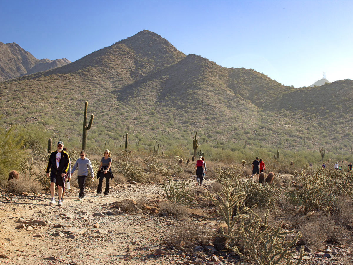 The pretty Gateway Hiking Trail Loop is one of the Phoenix area’s favorite “go to” hikes. To access the loop from the Gateway Trailhead, head straight out on the bustling Saguaro Hiking Trail for 0.4 miles. Turn either left or right, at the Gateway Trail intersection, to hike the loop.
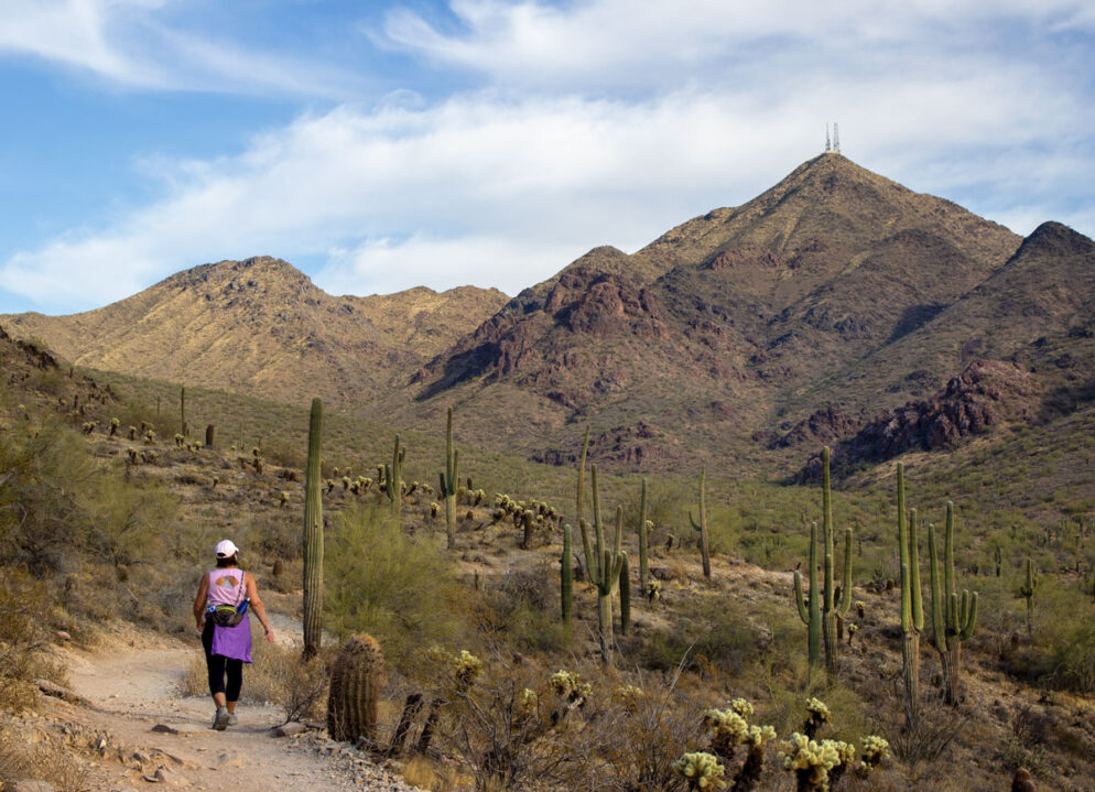
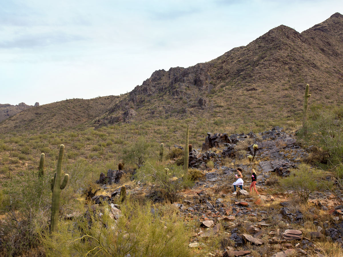
 Turning to the right / south, the Gateway Hiking Trail loop begins its curve around the base of one of the McDowell Mountain Range foothills. Broad swaths of Cholla, Saguaro and Sage line the lower valleys. And Thompson Peak, with its tall satellite towers, serves as a constant companion on this side of the trail.
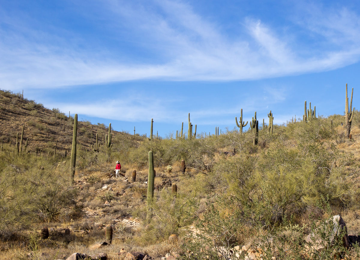
 As the loop makes a moderate climb around the foothill, backwards views spread out over Scottsdale, Phoenix and all the way out to the White Tank Mountains. Other trails veer off to the right, including Bell Pass after 1.6 miles, and Wingate Pass after 2.9 miles.
 The trail reaches Gateway Pass, its highest point, after 2.6 miles. There isn’t anything remarkable about this spot, except knowing that the rest of hike will now be downhill. Oh yeah!
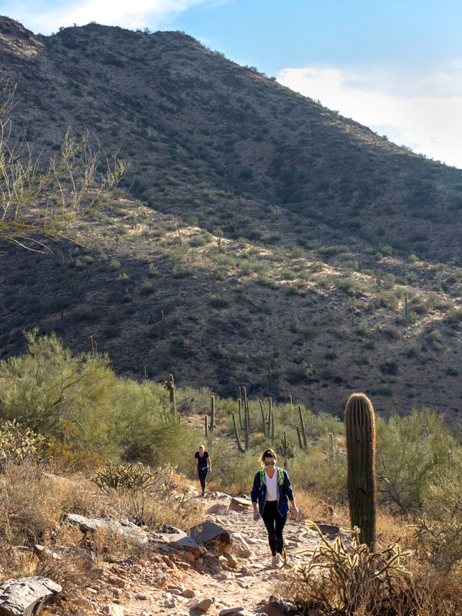 The trail now curves downward, around the northern side of the foothill. Since the pathway is very rocky throughout, a good pair of hiking boots is recommended. The soles of your feet will thank you for the protection!
 Tom’s Thumb peaks in and out of view in the distance, about halfway around the northern side of the trail.
 As the Gateway Hiking Trail approaches the close of the circle, long views over Scottsdale fill the horizon. Turn right, back onto the Saguaro Trail, at the intersection to reach the trailhead.
Total Nerdery The Gateway Hiking Trail Loop connects to seven other McDowell Sonoran Preserve trails. And each of these connects to even more of the Preserve’s more than 29 trails (see downloadable map).
Resources Click here to download a trail map.
Directions From the intersection of AZ Loop 101 and Bell Road (in Scottsdale) turn east onto Bell Road. Continue for 1.66 miles on Bell Road to N. Thompson Peak Parkway. Turn left/north onto N. Thompson Peak Parkway and drive 0.5 mile to the entrance to the McDowell Sonoran Preserve Gateway Trailhead. It’s clearly marked on the right side of the road.
Leave a Reply